

A new online map of Voyageurs National Park in northern Minnesota uses 88-year-old aerial photos to display information about an influential era of interaction between the land and humans. By 1927, the area was very different from just 40 years before, and it was posed to change drastically again in the decades ahead.
The “Shaping Voyageurs” map and website illustrates how people have been affected by the rugged land, and how the land was changed (and often damaged) by people.
Starting in the 1880s, the National Park Service says that the competing interests of American Indians, bootleggers, commercial fishermen, lumberjacks, conservationists, pioneers, miners, and tourists “collided” on and along the big lakes on the Canadian border.
These conflicts played out in complex ways. Just like the landscape is woven into a tight fabric of lakes, rivers, rock, pine, moose, loons, trout, and wolves, so are the humans. Damming a river may have made more logging possible but it destroyed ancient wild rice beds that had fed many generations of Ojibwe. Soon they were picking blueberries and selling them to white wholesalers.
In 1928, a group of U.S. Senators visited Kettle Falls Hotel in a remote area of to consider a proposal for more dams that would have flooded a great deal of Rainy Lake. They must have had some whiskey, as the site was a major producer and distributor of moonshine during Prohibition. They would have listened to the roar of the falls. One of the Senators later put his name on legislation that rejected the dams.
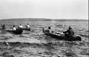
Like today, the motivations and people of the 1920s on the northern frontier were many and tangled. There were suddenly more humans in this remote land than ever before in history. The Park Service website seeks to explore these connections between complex characters, weaving it all together on the map and in the accompanying photos and essays. Browse by geography or theme, get lost down a rabbit hole of stories linked by time and place.
“It is our hope that this information will help you get some sense of the place that is Voyageurs, shaped by the colorful characters, industries, and ancestries of the Northland,” the Park Service writes.
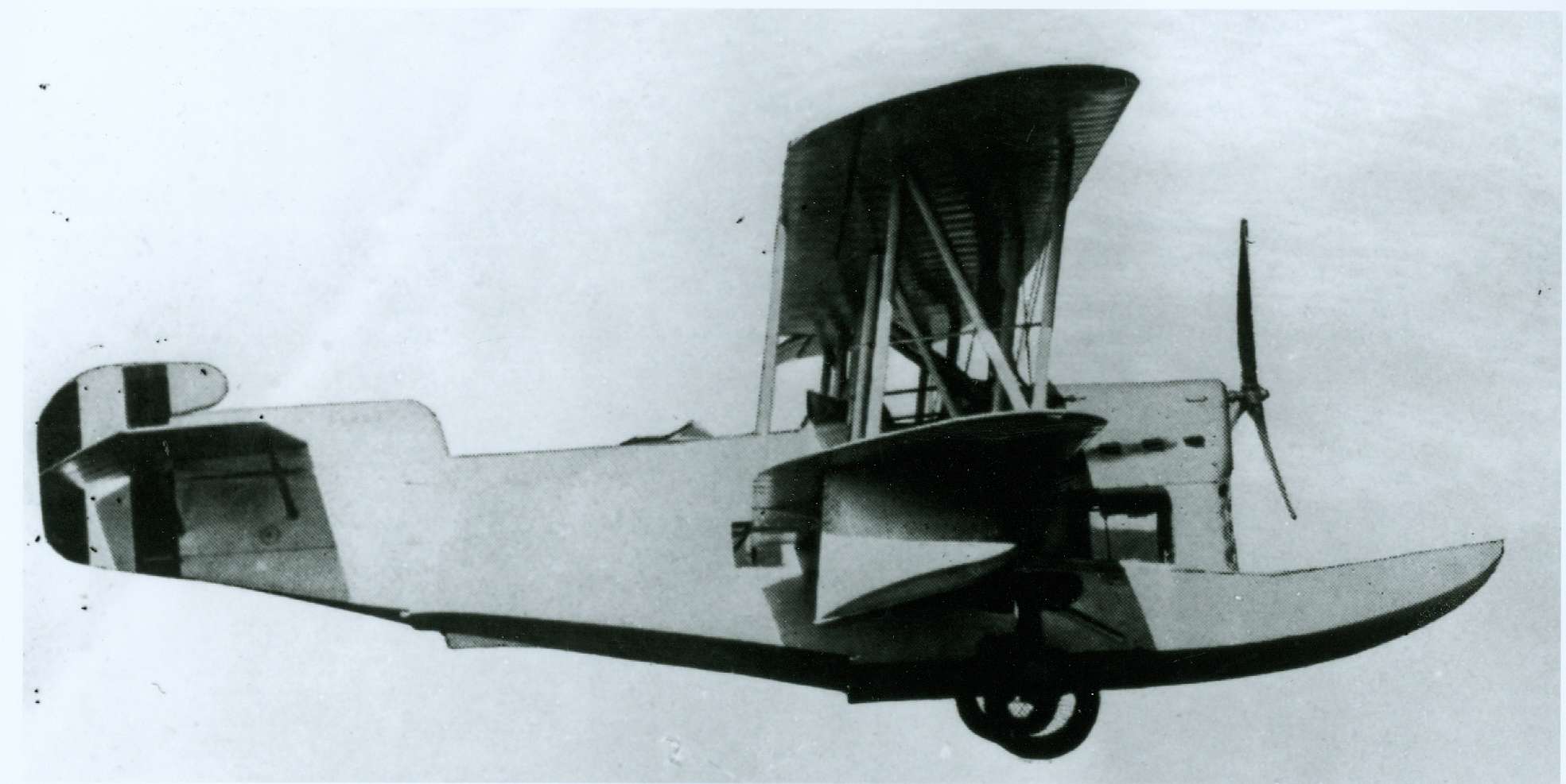
The historic aerial photos that form the base of the zoomable map were pieced together and digitized as part of a massive Park Service effort. Back in the 1920s, the United States and Canada split up the border and were responsible for getting aerial photos to clarify the boundary and the natural resources.
Airplanes and aerial photography were rudimentary, but the survey still provided a bird’s-eye snapshot of life in the wild north.
Many images and negatives from the 1927 survey were lost or destroyed, but one set of photos of what would become the lakes of Voyageurs was found in Canadian archives. Staff pored over almost 800 images, identifying where signs of human activity were scattered around the vast landscape, researching and sharing where people shaped the land. and where the land shaped people.