

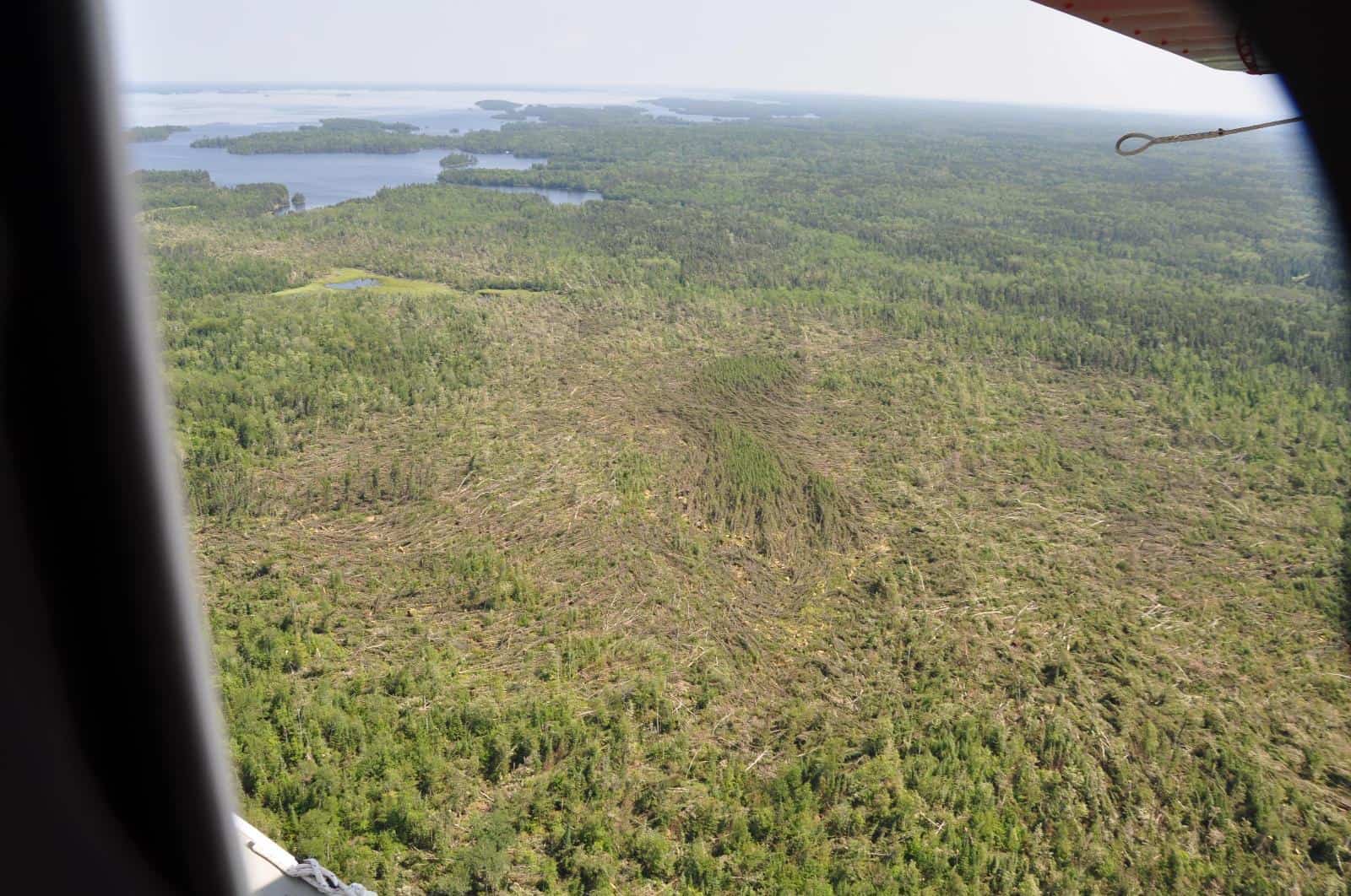
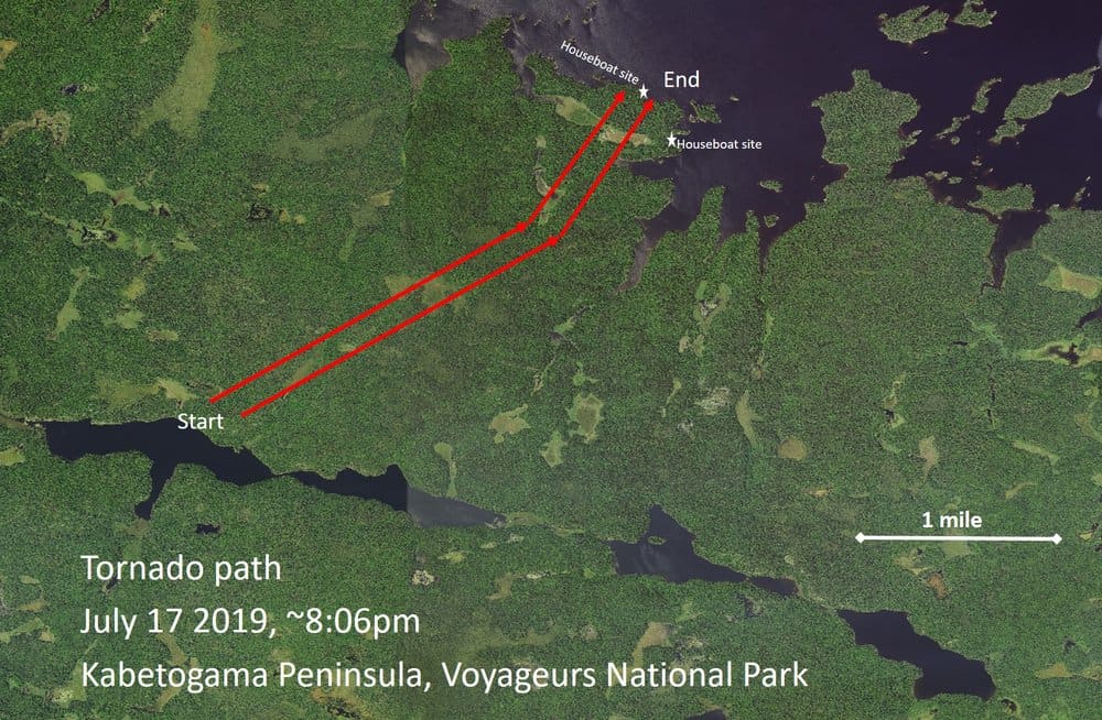
The first confirmed tornado in at least 44 years hit the Kabetogama Peninsula on July 17, flattening trees along an approximately three-mile track, 200 to 600 yards wide. It touched down at approximately 8 p.m. near Locator Lake, in the middle of the peninsula, and traveled north to Marion Bay on Rainy Lake.
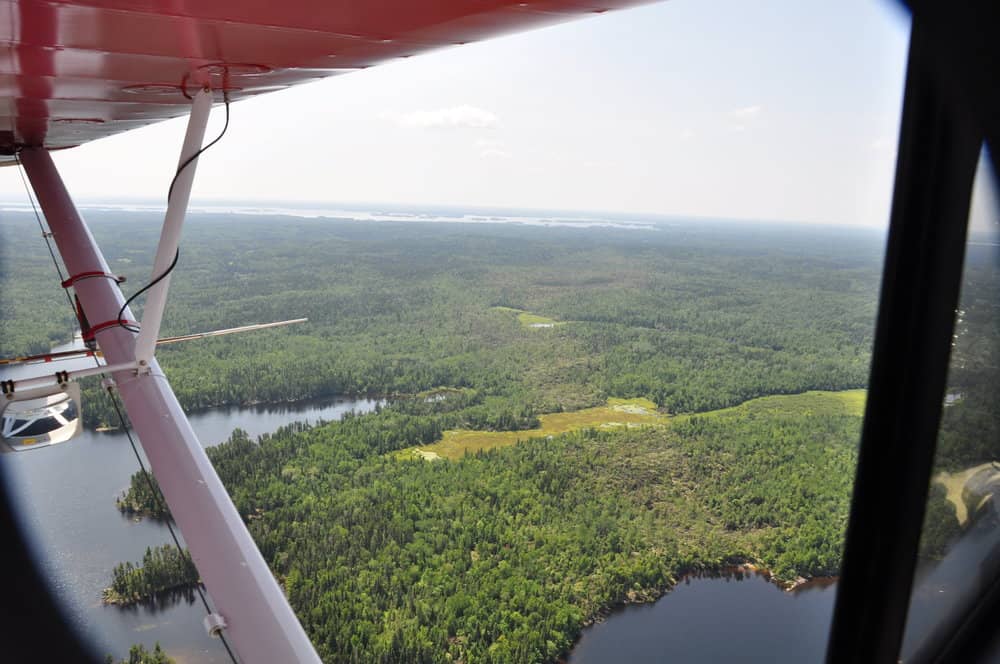
The location was about 10 miles due east of International Falls. About 500 acres of forest were flattened. There were no injuries or damage to structures, but one houseboat campsite was damaged to the point that it will be closed for the rest of the season.
The National Weather Service assessed the storm damage and reports and confirmed it was a tornado, probably an EF-1 with winds of up to 100 miles per hour. Snapped off trees fell in circles and spirals, typical of twisters. The agency also said it probably continued after leaving land.
“The tornado likely extended further northeast across Rainy Lake and possibly into Canada, so the length of this tornado should be considered an estimate,” NWS said.
Numerous trees also fell on the Locator Lake hiking trail, but the park has already cleared the trail. Houseboat campsite R41 is closed due to downed trees until further notice.
Tornadoes do not often form in the Quetico-Superior region due to its northern latitudes. Straight-line wind and severe thunderstorms are more common. But that may be changing, a scientist who works at the park says.
“We are seeing more extreme weather events in our area.” said biologist Steve Windels. “Often accompanied with high rainfall amounts in summer storms. We’re not sure if this also means a higher likelihood of things like tornadoes in our future.”
But such disturbance is also part of the boreal forest ecosystem, as an event like fire that can wipe out old trees and allow for patches of young forest to grow. That creates valuable habitat for species such as moose, forest grouse, songbirds, and more.
The park plans to work with partners to get high resolution satellite images of the tornado path, and monitor it to better understand how the forest grows back from such a storm.
More information:
- July 17, 2019, Tornado Outbreak in Northeastern Minnesota – National Weather Service
- Tornado touches down in Voyageurs National Park – Voyageurs National Park Association