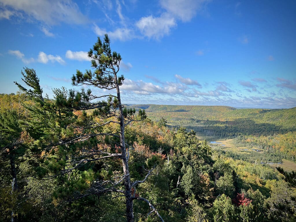
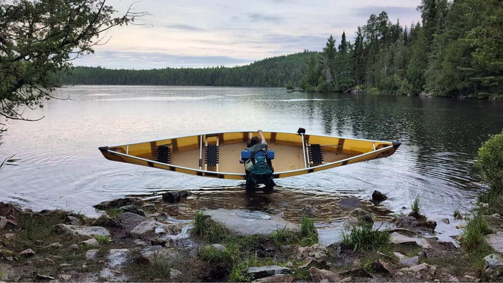
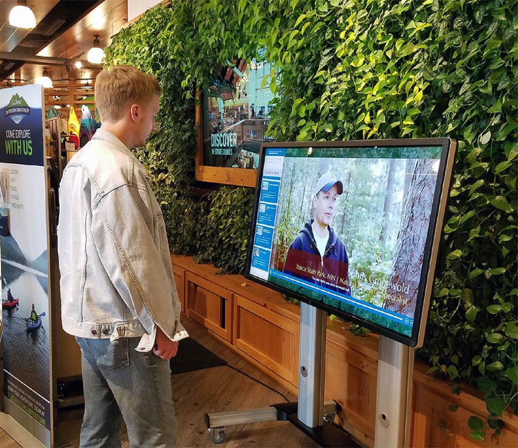
fbpx

How is the international border marked in the BWCA?

Along the northern edge of the Boundary Waters Canoe Area Wilderness (BWCA) lies an invisible line. The international border stretches over 150 miles of water trail, following the shorelines of Quetico Provincial Park to the north and the BWCA to the south. Careful observers may notice the subtle demarcation of the international boundary as they paddle by. Short metal reference markers are punched firmly into hard granite rock.

History in the Air – Bushplanes in Quetico Park

As far back as the 1930’s, airplanes have flown into the remote reaches of Quetico, patrolling for poachers, delivering supplies to rangers, fighting forest fires… Jill Legault from Quetico Provincial Park shares this look back to the ‘bush planes’ and intrepid pilots that flew into the border lakes backcountry.