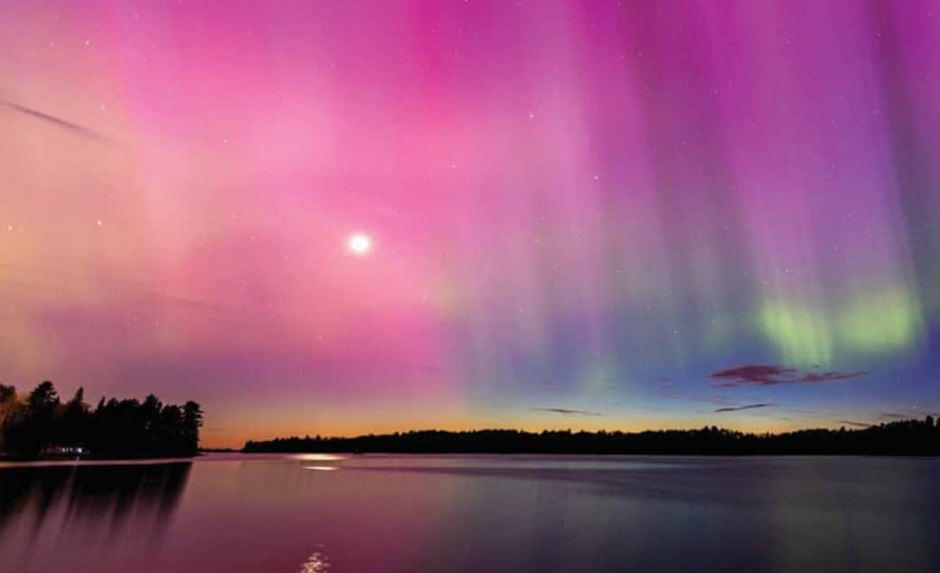
Dark Sky Week emphasizes more stars, less light pollution
Experience Minnesota’s dark skies during International Dark Sky Week, April 21-28. Minnesota is home to two certified dark-sky sanctuaries – the BWCAW and Voyageurs National Park.
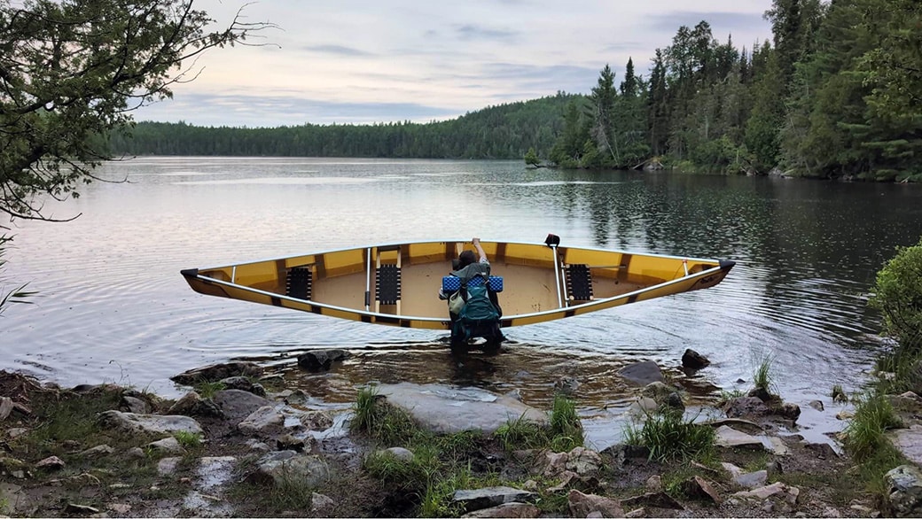
All-women expedition from Lake Superior to Hudson Bay
A four-person paddling crew will tackle 1,200 miles of historic routes between Minnesota and Canada. Their journey will take them from Grand Portage on Lake Superior to York Factory on Hudson Bay this summer and is expected to take 85 days. Through their journey, they aim to inspire young women and girls while advocating for gender equality in paddlesports.
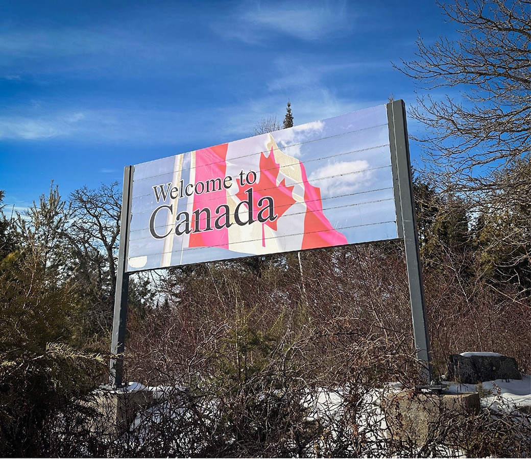
Remote Area Border Crossing permits on pause for Quetico
Canadian authorities released an update on the temporary paused new for renewal applications for Remote Border Crossing Permits (RABC). This impacts visitors traveling between the Boundary Waters Canoe Area Wilderness and Quetico Provincial Park.
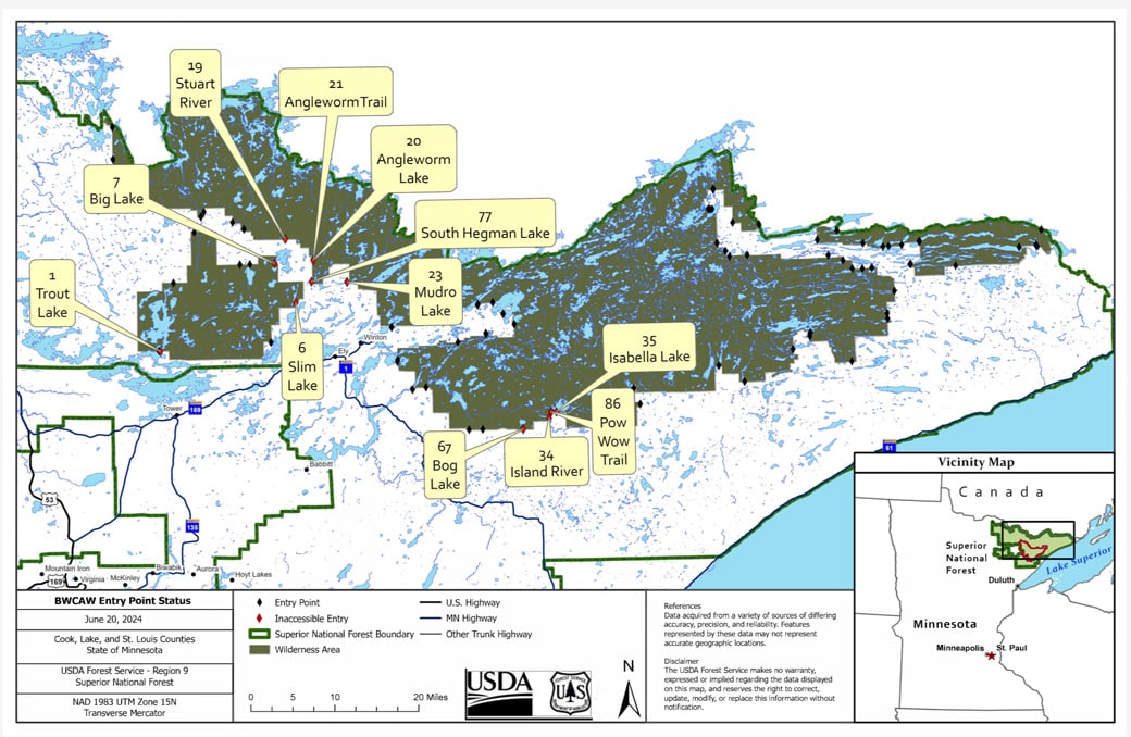
Some BWCAW entry points closed due to storm damage
Heavy rainfall from severe thunderstorms caused extensive damage to roads and flooding within the Superior National Forest (SNF), including the Boundary Waters Canoe Area Wilderness (BWCAW). In response, the USFS – Superior National Forest has closed several entry points. As a result, individuals with BWCAW permits reserved through June 22, 2024, are being notified directly of the cancellation and refunded.
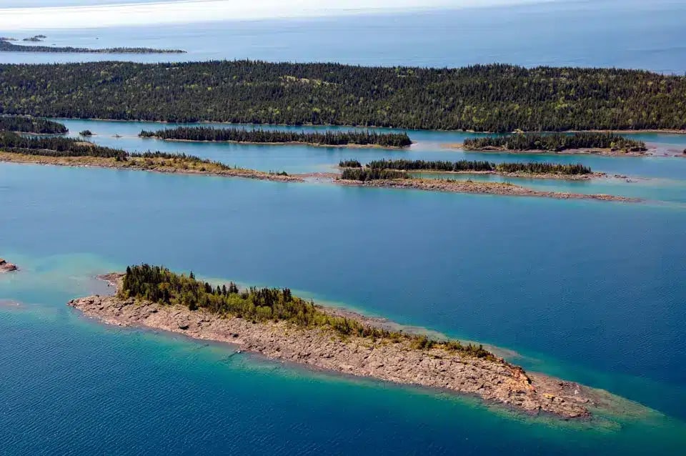
Decarbonize the parks: National Parks on Lake Superior move towards net-zero emissions
National parks around Lake Superior have executed long-term, sustainable options against carbon emissions. Recently, the National Parks of Lake Superior Foundation (NPLSF), in partnership with the National Park Service (NPS) took bold steps against climate issues. Grand Portage National Monument and Isle Royale National Park are two of the locations implementing changes.
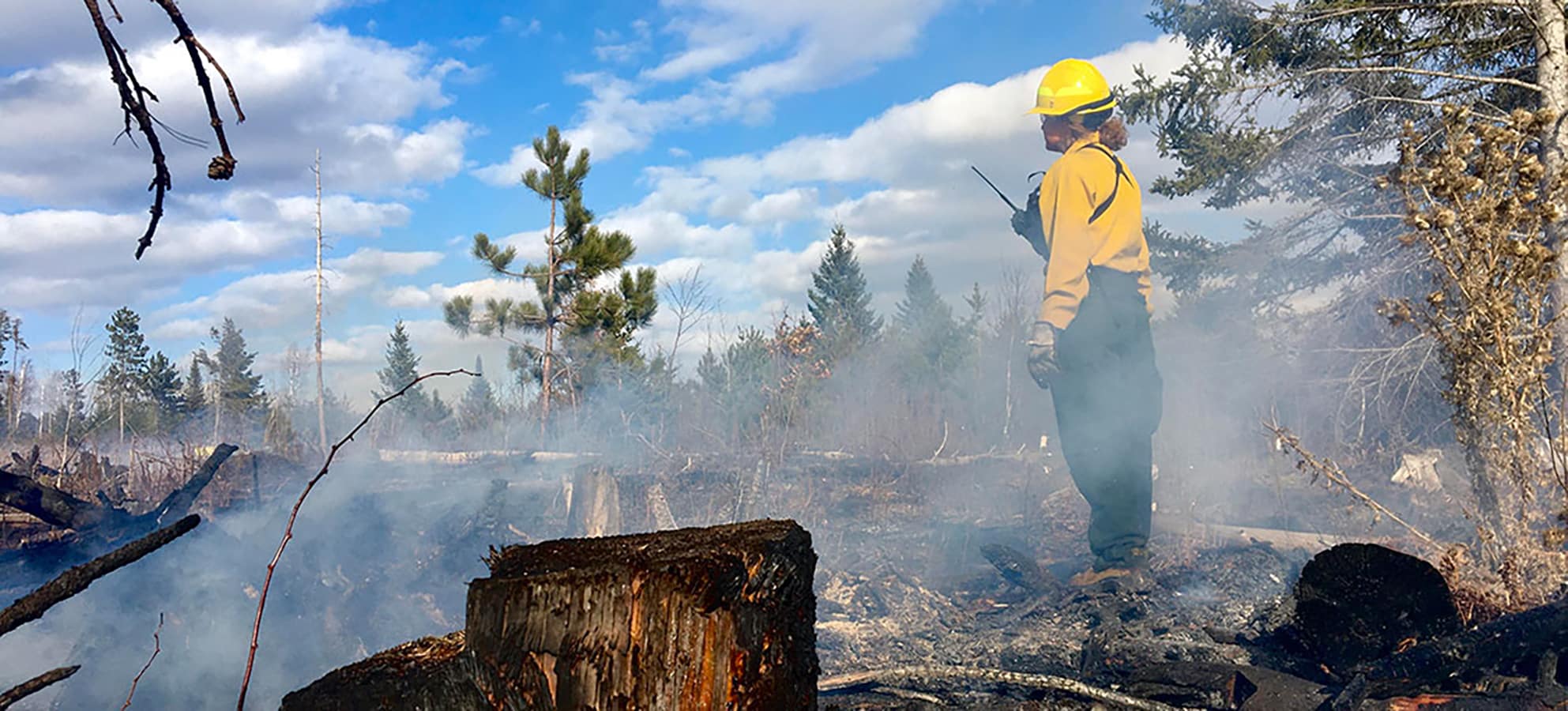
Minnesota’s dry winter sparks concerns for spring wildfires
Wildfire is a normal part of healthy ecosystems in the Superior National Forest. However, USFS personnel are warning that this spring could see a higher incidence of wildfires due to low snow cover and precipitation. As a result, they encourage those who live and recreate in the Quetico Superior region to be watchful.
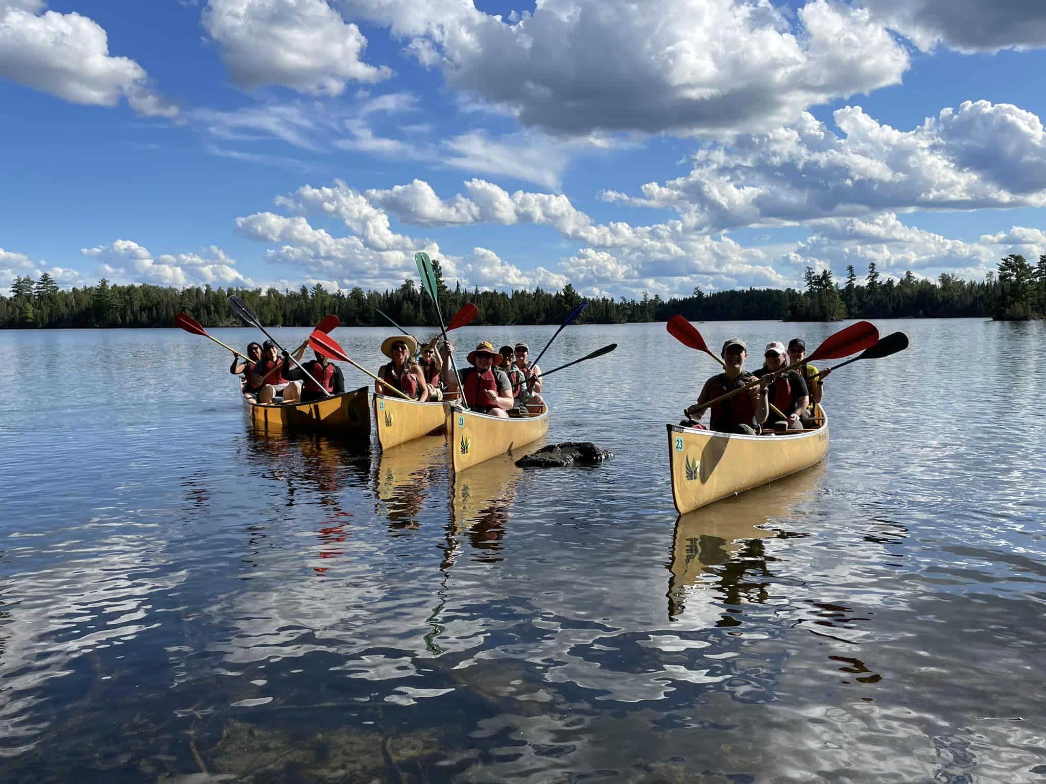
Boundary Waters Boy Scout camp celebrates a century of wilderness adventure
Program based near Ely has helped young people explore and experience canoe country since 1923.
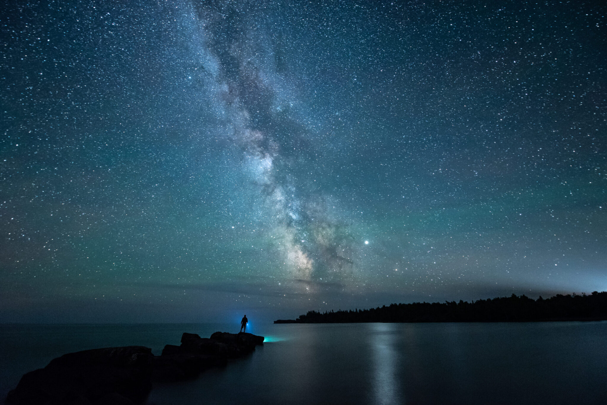
New film explores the dark skies of Minnesota-Ontario
‘Northern Nights, Starry Skies’ features inspiring images, cultural knowledge, and light pollution threats.
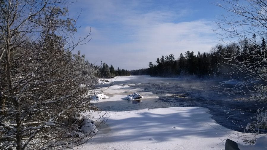
Winter in Quetico Provincial Park
Picture towering pines silhouetted against a dazzling blue sky, and a layer of new snow spilling from the branches. Think Quetico is just for canoeing?
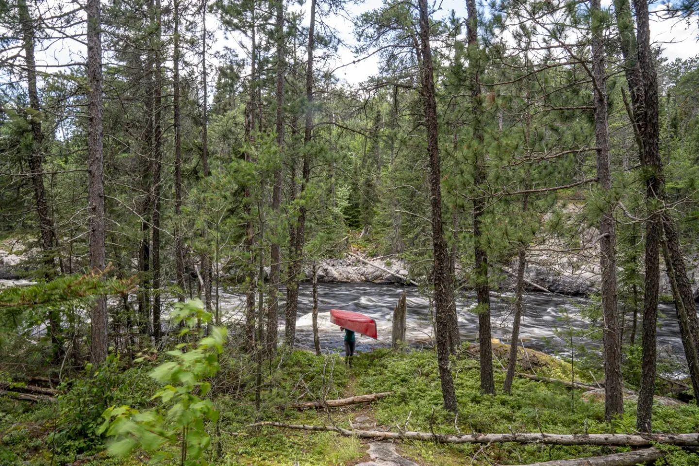
Canoeists cross Quetico Park on 600-mile Path of the Paddle expedition
Month-long trip intended to promote and develop paddling part of Canadian cross-country canoe trail.
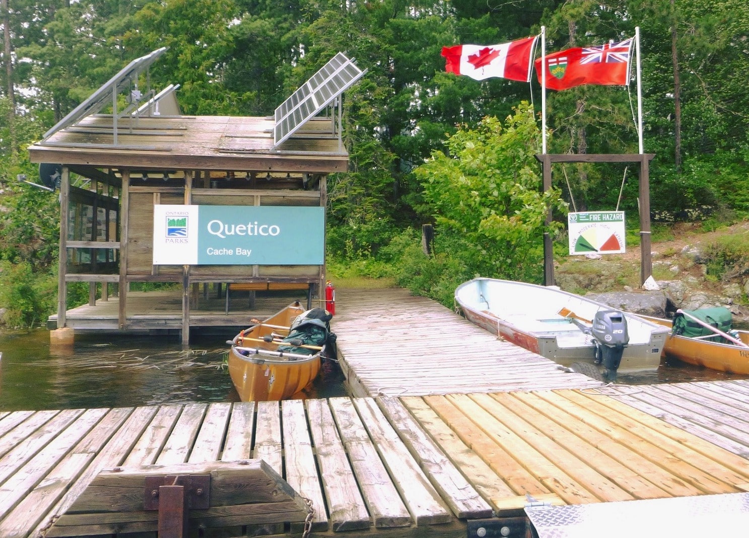
Canada to resume remote area border crossing permits, allow travel between Boundary Waters and Quetico
Permits shut down due to pandemic will soon be available again to people paddling between U.S. and Canada.
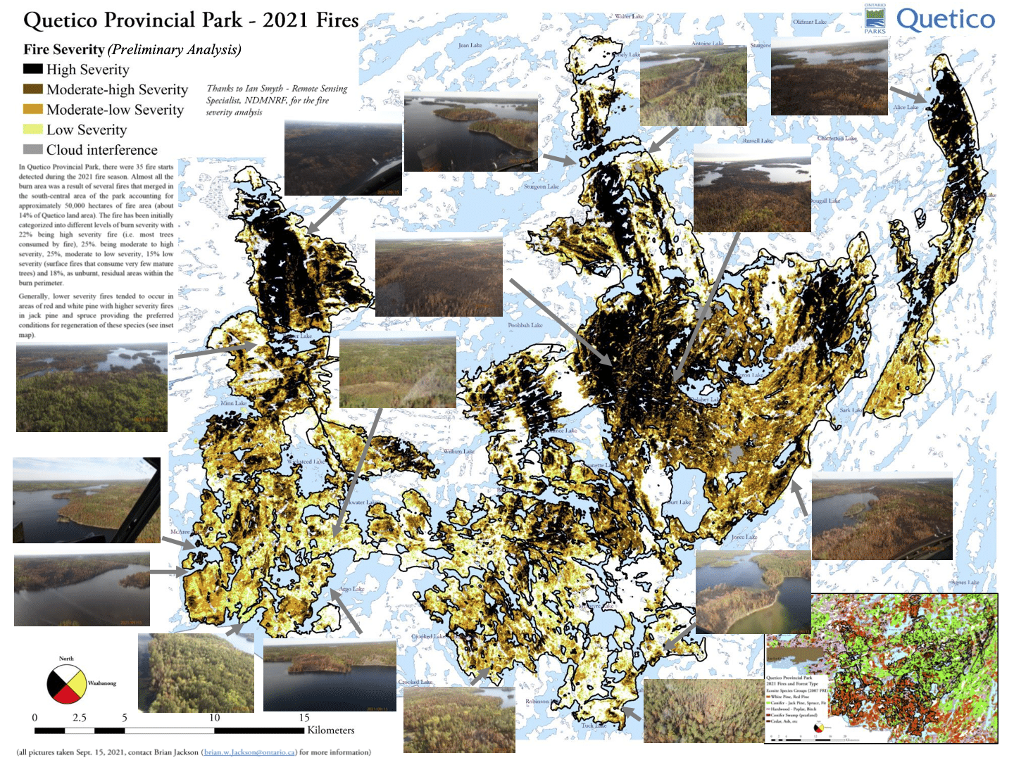
Mapping the 2021 Quetico fires: where blazes burned and where to paddle
As popular paddling destination Quetico Provincial Park reopens to Americans, maps show areas affected by major fires.
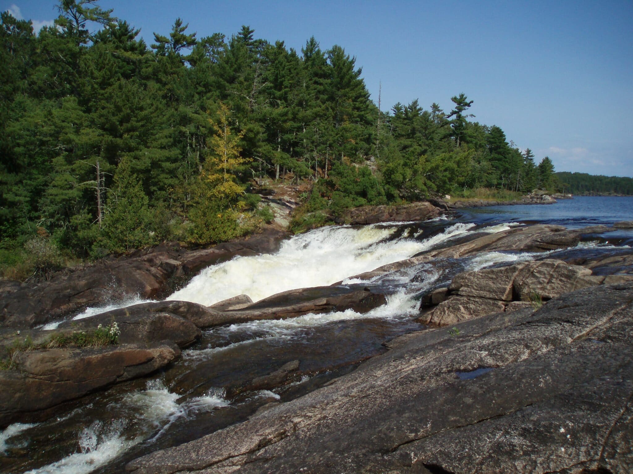
Proposal would add more of Quetico-Superior to prestigious Canadian Heritage Rivers
A coalition of groups is seeking national designation for the historic canoe routes near the Minnesota-Ontario border.
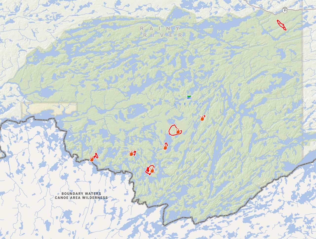
Quetico closes parts of park as wildfires grow
Several fires are burning in Quetico, across a large area, near the border with Minnesota.

Quetico Provincial Park receives Dark Sky designation, joins BWCAW protecting and promoting starry skies
Third preserve in canoe country region gets international recognition for lack of light pollution.
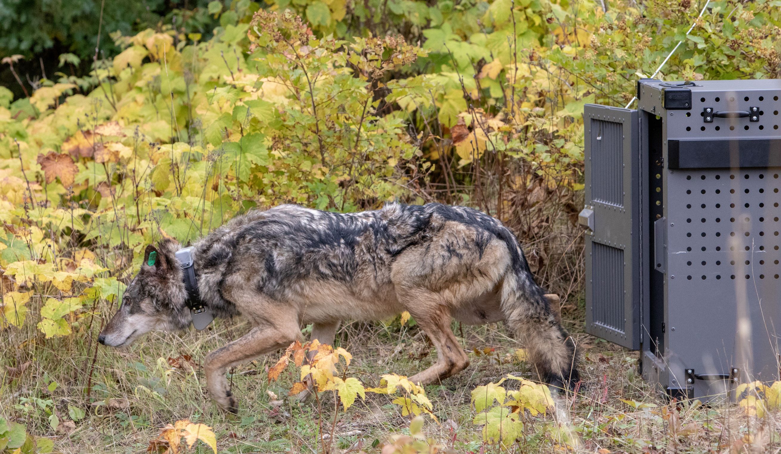
Incredible journey of collared wolf that left Isle Royale
GPS collar let scientists see where a wolf that was brought to Isle Royale as part of reintroduction effort went after crossing ice back to mainland.
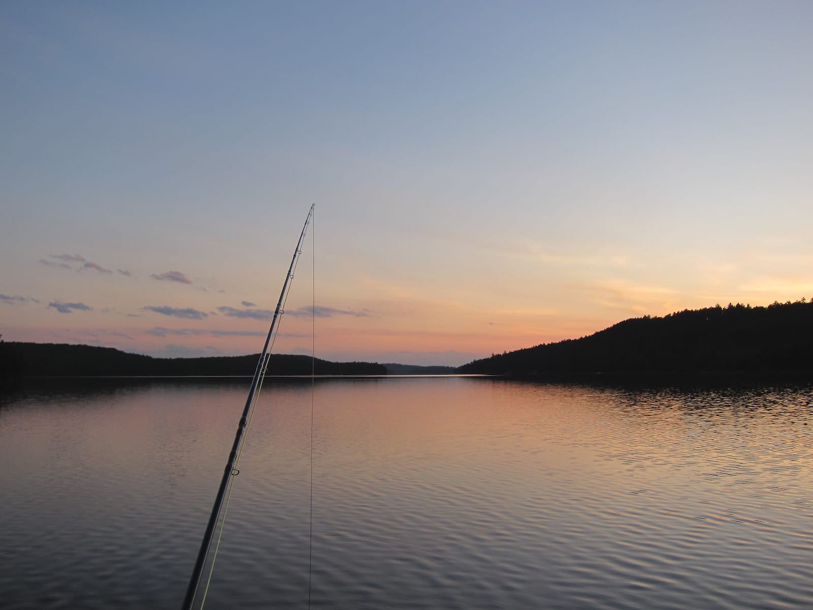
Scientist to study effect of invasive species and climate change on fish growth in Quetico lakes
Canadian researcher seeks to improve understanding of how spiny water flea and global warming are affecting walleye and cisco.
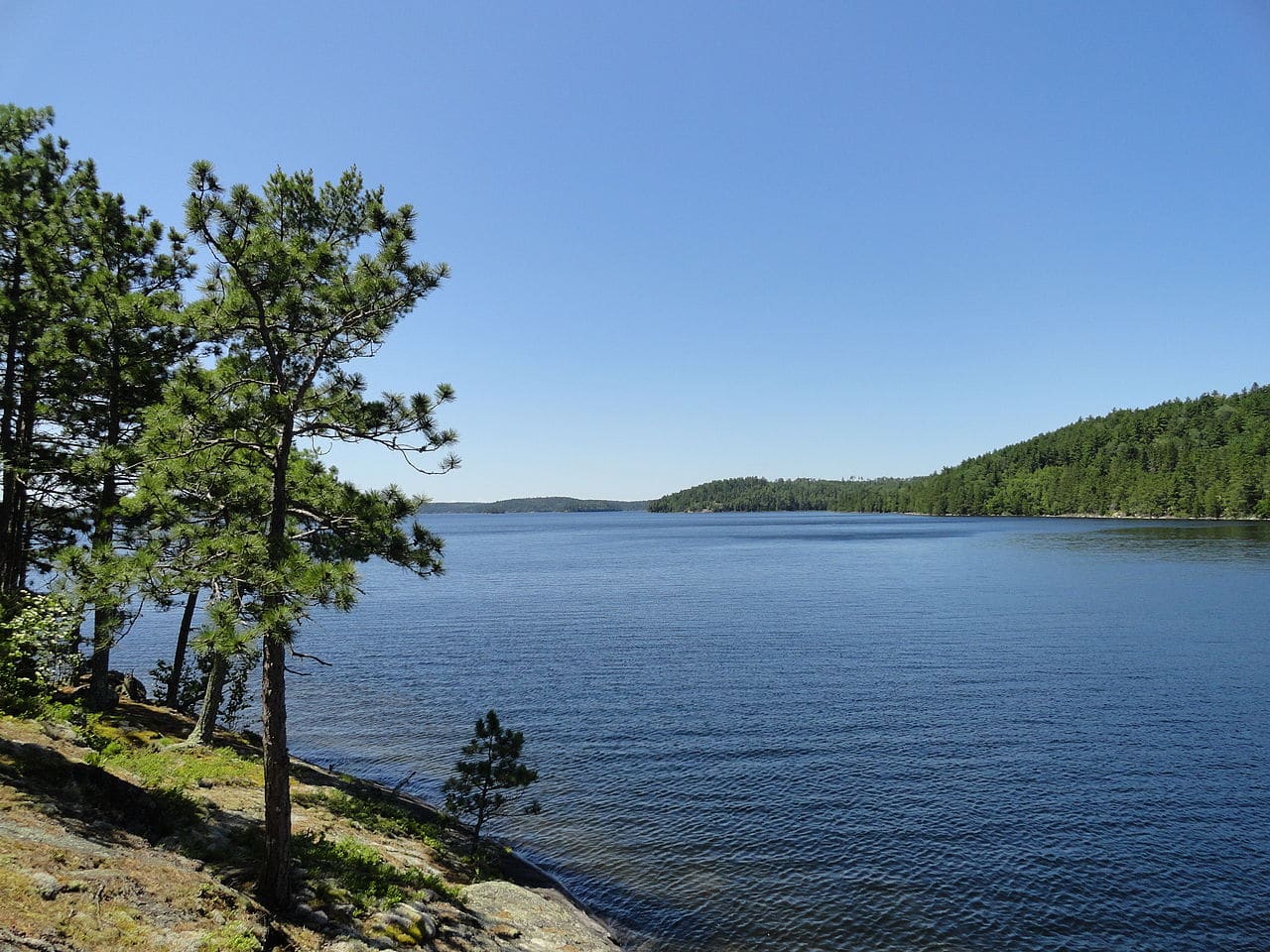
Quetico Provincial Park closed until May 31
Ontario closes popular canoe park across from the Boundary Waters to prevent unnecessary travel and spread of coronavirus.
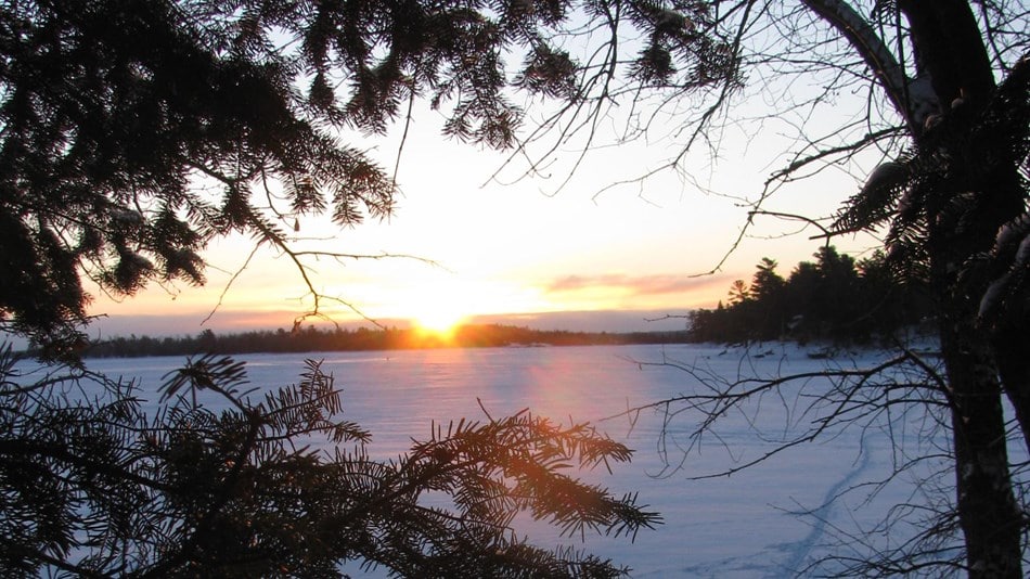
Coronavirus in canoe country: pandemic precautions affect public lands
While local residents follow social distancing outdoors in the wilderness, the public is asked to not travel to the Quetico-Superior region, as facilities close due to infection prevention measures.
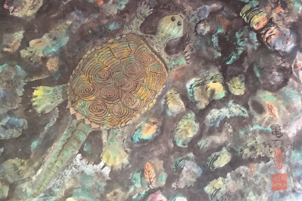
Artists invited to spend time this summer living and creating in Quetico Provincial Park
Rustic residency program provides time and support to find inspiration in the Ontario wilderness.

