
Scientists and students have been fanning out to lakes and streams across northern Minnesota for the past four years in a broad effort to understand the region’s water quality.
The researchers performed tests and sampled for fish, insect, and other life that is connected to clean water. The Minnesota Pollution Control Agency recently released the findings in a comprehensive report, which describes the region’s famous waters as in “good to excellent” health.
“Because forests and wetlands dominate the landscape, monitored stream resources show exceptional biological, chemical, and physical characteristics,” the MPCA reported. “Most support a diversity of fish and wildlife species, habitat for aquatic and wild life, recreational opportunities, and timber production.”
The region includes the Boundary Waters Canoe Area Wilderness, the Superior National Forest, and Voyageurs National Park, as well as numerous state parks.
Land of lakes
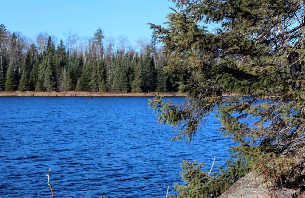
There are more than 1,200 lakes, connected by 400 streams in the region. More than 85 percent of the land is under state or federal ownership, with little development. The agency pointed to the fact that forests and wetlands dominate the landscape as a key reason for its high water quality.
The few impaired waters, which did not meet state standards, were generally found lower in watersheds, where activity upstream could accumulate. Impairments included high levels of sediment, E. coli bacteria, and mercury in fish, some of which could be caused by both natural and human forces.
The researchers studied 64 streams for aquatic life and 12 streams for recreation assets. They found only two watersheds that were impaired for life (Ash River and Black Duck River), and one that was impaired for recreation (Black Duck River). They studied 245 lakes, and found only one that was impaired for recreation (Bear Island River).
Overall, the watershed is home to some of the cleanest and healthiest waters in the state of Minnesota.
Best of the best
The report points to several streams with particularly healthy webs of life, and highlighted them as opportunities to protect sensitive habitat:
- Bezhik Creek
- Denley Creek
- Little Isabella River
- Mitawan Creek
- Snake River
- Jack Pine Creek
- Cross River
- Moose River
- Stony River
- Arrowhead Creek
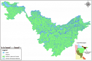
The 2,954-square mile (1.9 million-acre) watershed the study focused on is the area of far northern Minnesota that includes the American headwaters of the Rainy River, which ultimately drains toward Hudson Bay in the far north of Canada. The rest of Minnesota drains toward Lake Superior or the Mississippi River.
To repeatedly test a significant number of sample waterbodies in the watershed, many of which were in remote locations, the MPCA partnered several organization. The Boy Scouts of America through the Northern Tier High
Adventure Base east of Ely sampled many BWCAW lakes. Cook and Lake County Soil and Water Conservation Districts and Vermilion Community College in Ely helped conduct water chemistry sampling at 13 streams. Lake County Soil and Water Conservation District, the University of Minnesota-Duluth Natural Resources Research Institute, the National Park Service, and local volunteers assisted in monitoring 60 lakes.

