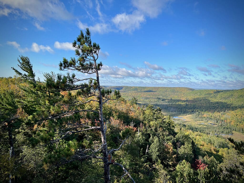
Conservancy secures largest land acquisition in decades

In an important move, The Nature Conservancy has purchased more than 12,000 acres of dense forest and wetland north of Two Harbors, marking its largest land acquisition in over 25 years. Conservation efforts will focus on sustainable management that supports the health of forests, wildlife, and clean water.

Paddling to Crooked Lake Pictographs

Paddling through time: visiting Crooked Lake pictographs

Just north of Lower Basswood Falls in the BWCA, a striking set of pictographs appears on a granite wall, one of at least forty sites scattered across the wilderness. These culturally significant images connect deeply to the history of the Anishinaabe people, who regard this land as sacred.

New film explores St. Louis River Estuary, largest in North America

Scientists and environmentalists regard estuaries as some of the most biologically diverse yet endangered ecosystems on Earth. A new film, Estuaries in the Balance: Freshwater Nurseries of Lake Superior, highlights both the human impact and ongoing restoration of North America’s largest freshwater estuary.

3,600 acres scheduled for burns in Superior National Forest

The USFS–Superior National Forest began prescribed burns on 3,600 acres across the forest in mid-September. The agency will continue burning through early winter in areas identified as high wildfire risk or near communities. These efforts support a healthy ecosystem while reducing wildfire danger.

How would reversing the Roadless Rule affect the Superior National Forest?

U.S. Agriculture Secretary Brooke L. Rollins recently announced plans to withdraw the 2001 Roadless Area Conservation Rule, which protects 59 million acres of National Forest from new roads and timber harvests. In Minnesota, many of these areas border the BWCA. If implemented, the change could significantly affect how parts of the National Forest are managed.

New technology may fight sulfate pollution near BWCAW

Near Birch Lake Reservoir, Jeff Hanson’s mobile lab is testing a potentially proven, cost-effective method to remove sulfate from watersheds flowing into the Boundary Waters. This pollution, a byproduct of taconite mining, harms humans and contributes to toxic mercury levels in fish.

Aircraft surveys aim to map critical minerals across northern Minnesota

Small aircraft equipped with advanced mapping technology are flying over northern Minnesota to survey geology and update maps of critical minerals. Led by the U.S. Geological Survey and the Minnesota Geological Survey, the project aims to improve understanding of resources vital for clean energy and national security. Whether the findings will encourage new mining in the region remains unclear.

No permit required: Superior National Forest’s 13 hidden canoe routes

The BWCAW isn’t the only place for unforgettable canoe-camping adventures. We’ve selected thirteen routes in the Superior National Forest, outside the designated wilderness. These routes offer excellent paddling without the need for a permit. We include maps and key details to help you plan your trip.