

“Can you imagine what it was like to be a voyageur?” I asked my husband after finishing a long BWCA portage carrying 16 days worth of food and gear. “I read that they carried more than 160 pounds across these portages,” I continued. “That doesn’t sound like fun,” he replied. Upon further research into the history of the BWCAW and surrounding area, I learned that many of these men never made any money and as many as “nine hundred men owed [the company] more than ten to fifteen years pay.” That certainly put our complaints about our leisure trip with modern lightweight gear into perspective.
Every time we paddle through the Boundary Waters Canoe Area Wilderness we discuss what might have happened on these lakes, portages, and campsites throughout history. “How long do you think this campsite has been here?” we ask. “How many people have passed through these portages?” And “Do you think this area was logged?” or “Did they try mining here?”
This curiosity prompted me to purchase the full set of Voyageur Maps as a gift for my husband. While each map maker has its strengths and weaknesses, the Voyageur Maps are unique in that they include useful information like historic, geological, burn areas, and more. If you carry more than one set of maps—which we always do—this is a fun set to add.

On our most recent trip, we learned from Voyageur Map 5 that the Paleo-Indians were the first humans to inhabit the present-day BWCAW and likely arrived when the last glaciers retreated 11,000 to 12,500 years ago. Then the Archaic Period began about 8,000 years ago when northeast Minnesota experienced prolonged warming. This is when archaeologists theorize that the Archaic people began traveling these lakes in dugout canoes made from red and white pines. The Archaic Period was followed by cooler weather and a climate similar to what we experience in the region today. This was known as the Woodland Period and the people of that time are known for introducing functional pottery and the bow and arrow.
It wasn’t until the 1700s that the first Europeans began to arrive in northeast Minnesota. The area that is now the BWCA was heavily used by French fur traders from 1732 until 1756. “By the early 1800s, most of the region had been trapped out, and the fur trade diminished dramatically.” Lumberjacks arrived about one hundred years later. The Swallow and Hopkins logging company is said to have hauled 350 million board feet of pine over the Four Mile Portage over 10 years.
In more recent BWCA history, nearly every Minnesotan—whether a BWCA traveler or not—has heard of Dorothy Molter, also known as the Root Beer Lady. Dorothy lived on the Isle of Pines for 56 years and was the last year-round resident of the BWCA. And this is where our magical history tour of the BWCA began.
A Magical History Tour Through the BWCA
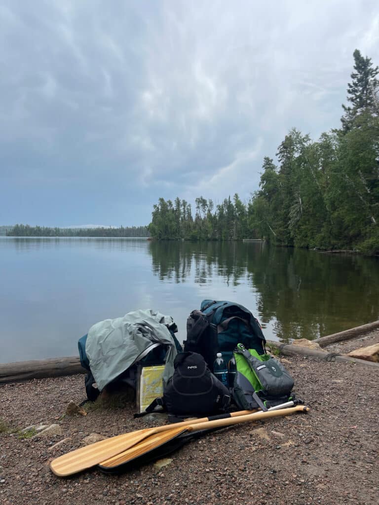
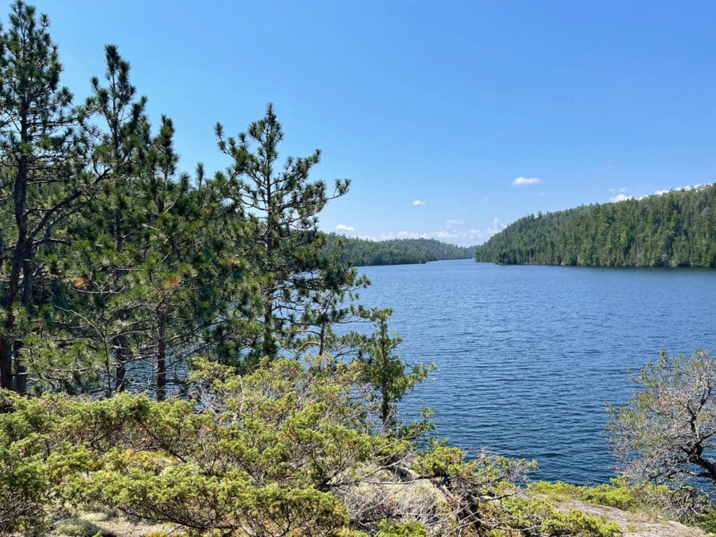
Every summer my husband and I take a longer trip into the Boundary Waters. These trips range in length from nine to 16 days and we usually cover around 100 miles of paddling and portaging. We highly value this opportunity to disconnect and get away from it all in the quiet and solitude of this million-acre wilderness.
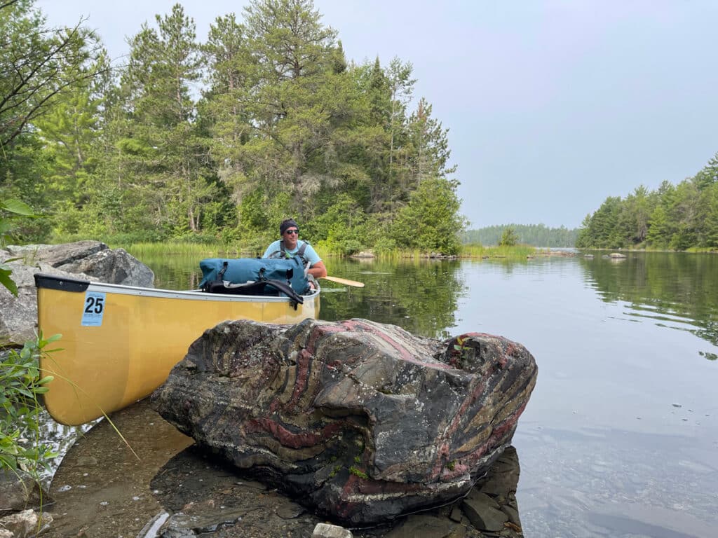
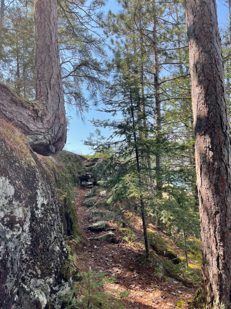
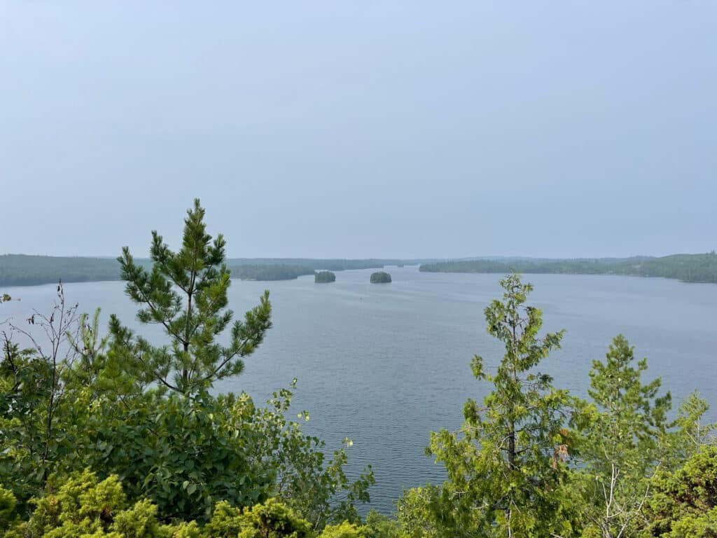
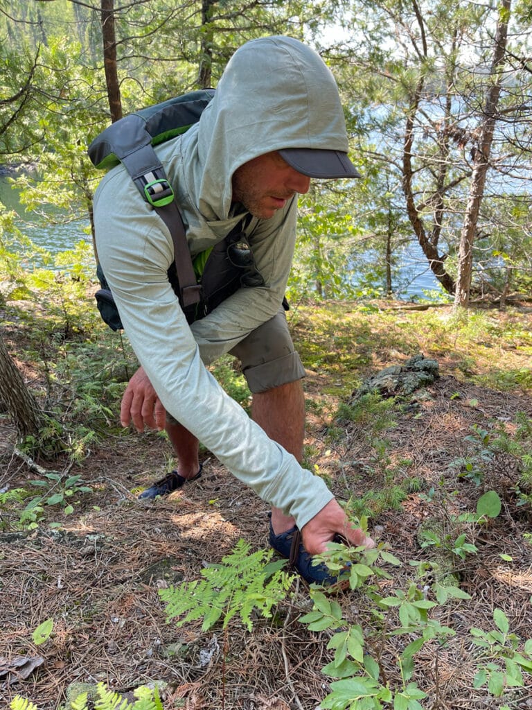
This year’s trip began and ended on the shores of Snowbank Lake, 23 miles east of Ely. We paddled northeast, making our way into Boot Lake, followed by a tough portage into Ensign. The portage from Ensign into Vera proved to be even more challenging, forcing us to take a break at the top of a long climb where we were rewarded with an abundance of ripe blueberries and saskatoons. I’m not sure what we were thinking when we planned these portages at the front end of a 16-day trip with absurdly heavy canoe packs. One more difficult portage and we were in Knife Lake and just a short paddle away from the Isle of Pines.
From the portage landing, we paddled north until we reached the Isle of Pines. Paddling clockwise from the western tip, we discussed what it might have been like to be the last full-time resident on this 4,919-acre lake, especially during the long cold winters. The idea of this level of solitude sounded like heaven to one of us and to the other, not so much.
As we paddled around the Isle of Pines, we looked for the few remaining signs of Dorothy’s final 56 years of life. We noticed open spaces where buildings most likely stood and there are still clear paths between many of these areas. We also stopped to marvel at Ribbon Rock moved to the island by Dorothy’s nephews. You can learn more about visiting the Isle of Pines and what to look out for here.
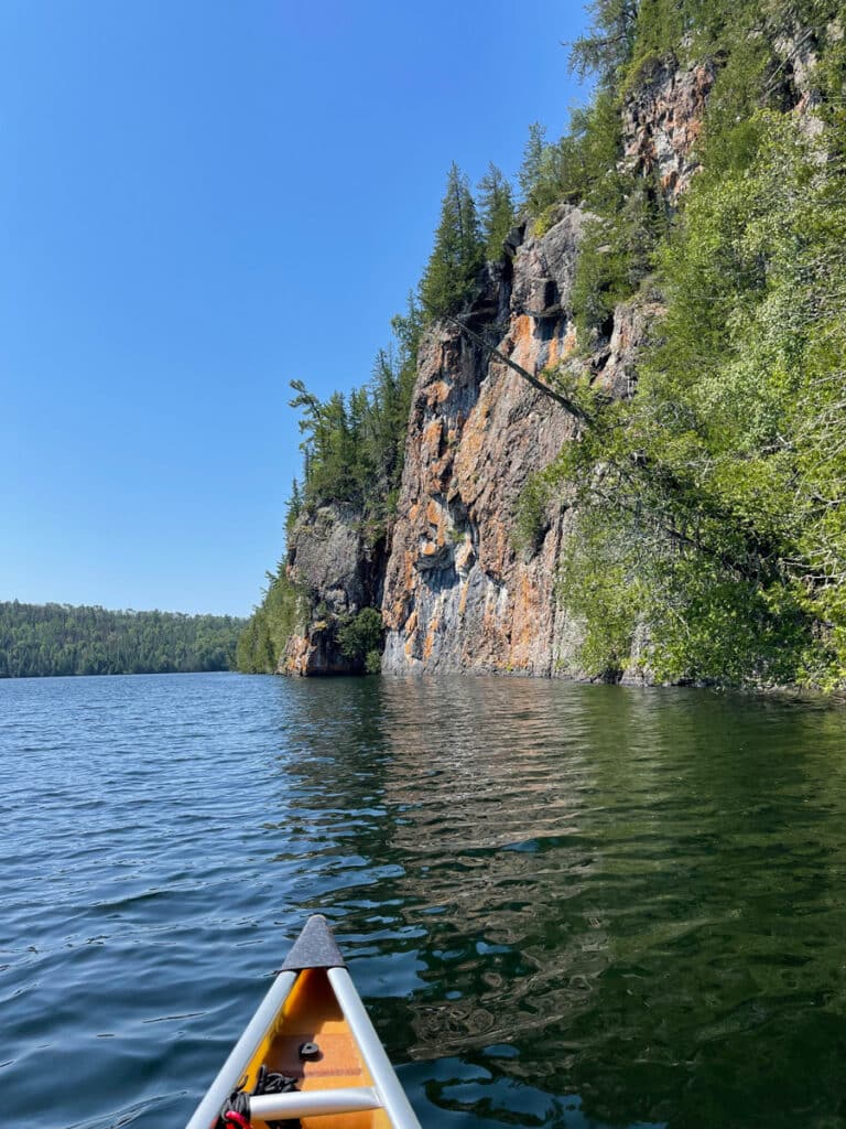
From there we paddled about three miles northeast to the short but steep climb to Thunder Point. Although a popular stop—especially during the peak summer months—it’s worth a visit if you’re passing by. The short hike offers a great perspective of the vastness of these wild lands with sweeping views of the Boundary Waters and Quetico wilderness.
As we made our way back to our canoe, five more canoes had landed and their paddlers climbed to the lookout. We loaded up and continued to paddle northeast toward Ottertrack Lake.

The Second to Last Resident of the BWCA
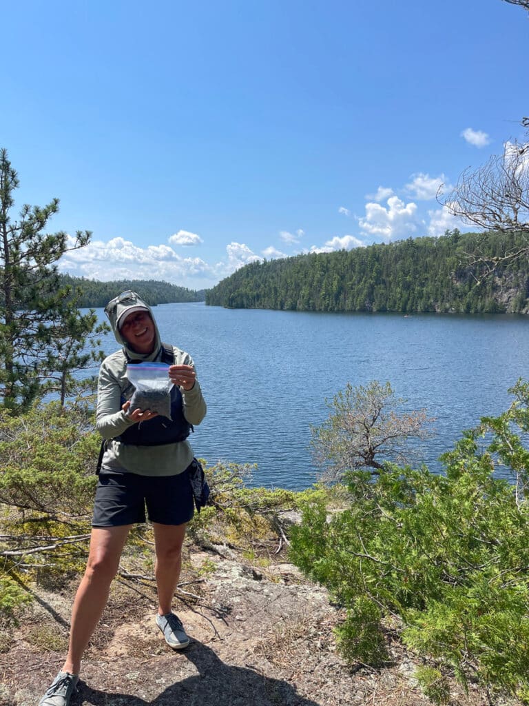
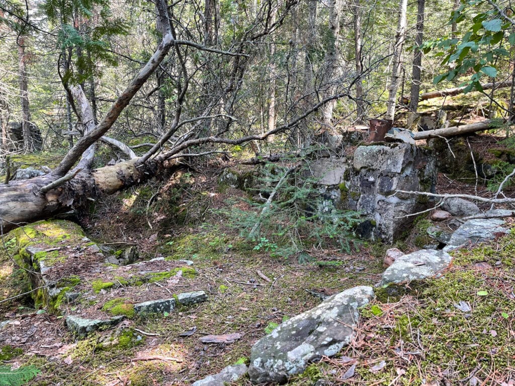
“Whatever else happens today,” I said glancing back at my husband as we picked the best-tasting wild blueberries we’ve ever found, “it’s been a really good day.” We had stopped to visit the former homestead of the second to last permanent resident of the BWCA—Benny Ambrose. While not as well known and loved as the Root Beer Lady, Benny was an interesting character in the story of the creation of the Boundary Waters Wilderness.
After collecting our berries, we wandered around the former Ambrose homestead, admiring the scenic vista down Ottertrack Lake. As we wandered, we stumbled upon the foundation where his former cabin must have stood. Again, we couldn’t help but banter about what life must have been like for this rugged woodsman.
Before our trip, we did a little research about Benny. The Minnesota Environmental Partnership has two fascinating articles about Ambrose that might be interesting to lovers and defenders of this special place we know today as the BWCA. The first article, published in August 2009 can be found here. And the second, published one week later can be accessed here.
Born in Iowa, Benny Ambrose found his way up the Gunflint Trail in the 1920s where he established a homestead on the shores of Ottertrack Lake and eventually gained a reputation as one of the best fishing guides in the Minnesota Northwoods. In the 1960s the Forest Service intensified its efforts to acquire the last remaining private land in the BWCA and Ambrose had no intention to sell. Eventually, the Forest Service decided to allow Ambrose to live out his last years in his small home and “enlisted him as a volunteer to help monitor forest conditions and assist distressed campers.”
“Even though he himself used a snowmobile and small motorboats in his later years, he strongly believed in the protection of this one refuge for wilderness travel. He even testified in support of the initial creation of the no-fly zone in the late 1940s, despite the fact that it hurt his successful guiding business. He did this because he believed, “Canoeists got to have an area of their own.” – Minnesota Environmental Partnership.
As we wrapped up our visit to the site of the former Ambrose homestead, we decided to drop our fishing lines in the small bay behind the peninsula he called home. “I have a fish on,” my husband said as we made our first pass. On the end of his line was a beautiful eater-sized walleye. Pass after pass we pulled up walleye after walleye, taking with us just enough for dinner. As we paddled away, we offered a nod of gratitude to this legendary guide.
Why the history of the BWCA matters
Admittedly, history is not one of my greatest strengths—as you can probably tell by reading this article. It is, however, one of my husband’s passions. His enthusiasm to understand the people and events that created the world we live in today is contagious. As we talk about protecting and caring for these lands, there’s much to learn from those who passed through them before us. By doing a little bit of research before and after your next BWCA trip, you’ll enjoy a richer experience and have a new appreciation for how this recreation wonderland came to be. And you might even be inspired to stand for its future.
You can learn more with the additional resources below:
- Learn more about the voyageurs
- The fur trade and the Grand Portage
- Voyageur Map 5
- Dorothy’s Isle of Pines
- Benny Ambrose and the Boundary Waters
- Gold Prospector Turned Legendary Boundary Waters Woodsman
Holly Scherer is a Minnesota-based writer, photographer, outdoorswoman, and guide. She’s most at home in the great outdoors; camping, hiking, paddling, cycling, and gardening. When she’s not on an adventure, she and her husband live in the Twin Cities where they’re fond of saying, “home is where we store our outdoor gear.”