

That’s weird, I thought as I turned off my alarm on the sixth morning of my Superior Hiking Trail (SHT) thru-hike. I felt a sharp pain in my ankle but I was certain I hadn’t done anything to injure it. As I went about my morning routine, my concern grew as the pain worsened with each step.
I finished my coffee, packed up my gear, and completed my morning stretching routine. Then I laced up my shoes, strapped on my pack, stood up, and felt immediate relief that the pain in my ankle seemed to have subsided. I chalked it up to a little tightness from the long miles I hiked the previous five days.
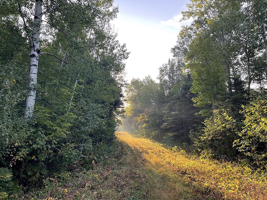
The sun was just coming up as I hit the trail for another long day. It was a beautiful morning. The previous five days were hot and humid. And the lower temperatures overnight coated the tall grass and wildflowers with dew that sparkled like glitter in the morning sun. Despite the concerning start to my day, it was turning out to be a wonderful morning.
As I approached mile seven, the pain in my ankle returned, only sharper now. Each step was more painful than the last. I knew there was a campsite a mile ahead so I promised myself I’d stop to rest and stretch when I got there.
I stopped to filter some water from the river just outside the campsite. Then I found a nice grassy spot in the shade to lay down and stretch. I repeated the same stretching routine I’d done every morning and evening during my hike thus far. But when I stood up this time, it didn’t feel better. I could barely stand to put weight on my ankle and my mind went straight to the worst case scenario. I thought I was done. I was certain I had failed and it was only day six.
In a panic, I called my spouse. With his naturally calm demeanor, he did his best to assure me that I simply needed to rest. He reassured me that I had the time to take my pace and mileage down and that everything would be fine. But my mind was busy running through all the what-ifs.
After we hung up, I tried to reassure myself that he was right and that I just needed to rest. I set up my tent for the night and spent the rest of the day lying in the shade with my legs elevated on a cut log. I ran every scenario I could think of for what it would take to get back on track. I was about 12 miles behind but it felt like 100 on day six of 23.
Around four-thirty that afternoon I heard thunder in the distance. As the sky grew dark, I figured this was my last chance to get dinner in me. Just as I set my pot of water on the stove, huge drops began to fall from the sky. I ran to my tent, threw on my rain gear, and ate dinner under a big old spruce. It poured and stormed all night, flooding the heavily used tent pads. But I stayed mostly dry as I laid there with my legs elevated on my pack, praying I’d feel better in the morning.
To my surprise, my ankle did feel better the next day. For good measure, I strapped on a couple of strips of KT Tape and hit the trail. It rained and drizzled most of the day. But making it all of the way to my target campsite made day seven a pretty good day.
This is part one of a two-part story about my journey to complete a thru-hike of the Superior Hiking Trail. Through this story, I hope to share what it was like to plan and attempt my first thru-hike. I’ll share the lessons I learned along the way. But more than anything else, my goal is to inspire you to challenge yourself by getting outside and trying something new. You won’t want to miss what happens in Part II so be sure to subscribe at the bottom of the page and get Quetico Superior Wilderness News straight to your inbox.
What is a Superior Hiking Trail thru-hike?
“You mean you’re walking the whole thing? Not biking?” a text from one of my closest friends read when he checked in to see how my hike was going. “Not walking,” I replied. “Hiking,” attaching pictures of the challenging section I was currently enjoying. “I have no idea how you do that,” he replied. “My body hurts for you.”
Two decades of friendship means we have a lot in common—like our love of the outdoors. He, however, prefers experiencing the outdoors from his solarium, pontoon, and pool—which makes him a great friend to have. He is simultaneously fascinated and horrified when we share stories about our outdoor adventures. Since he doesn’t have experience with activities like this, he doesn’t fully understand what it means when I tell him about things like plans to thru-hike the Superior Hiking Trail. Here’s what I should have explained to him before I started.
The SHT is a 310-ish mile footpath that, depending on which way you’re headed, starts (or ends) at the Wisconsin border and ends (or begins) at the Canadian border. It’s part of the North Country National Scenic Trail that stretches more than 4,800 miles from Middlebury, VT to Lake Sakakawea State Park in North Dakota. It is the longest trail in the National Trails System.
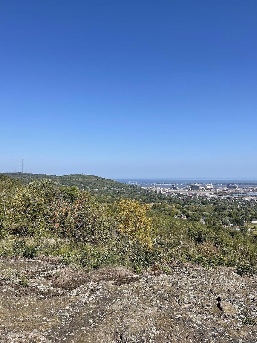
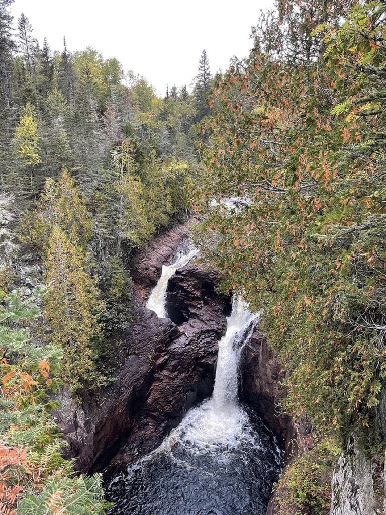
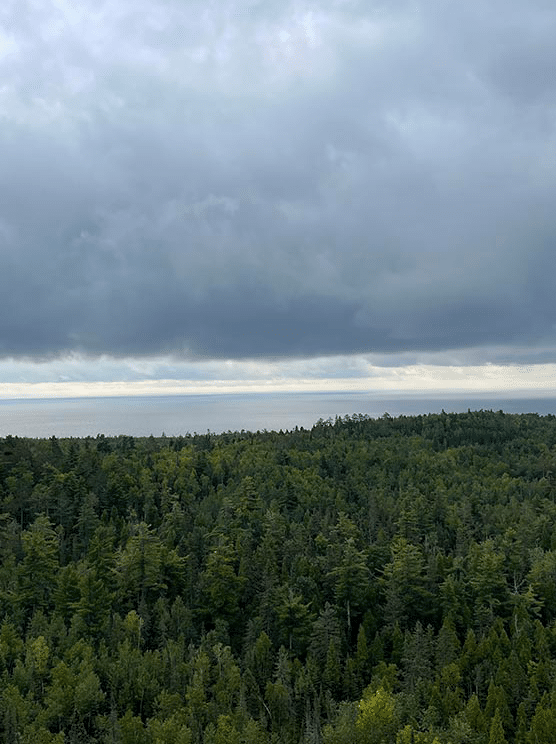
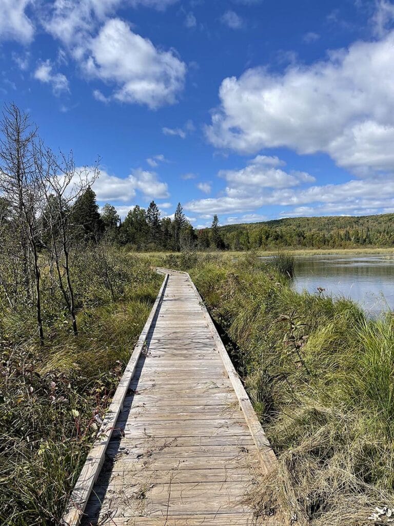
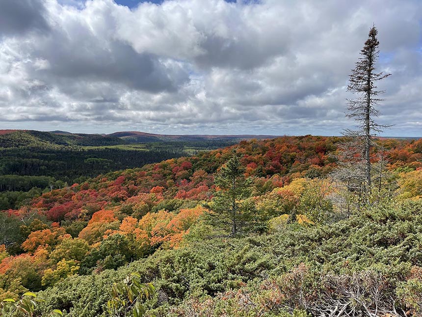
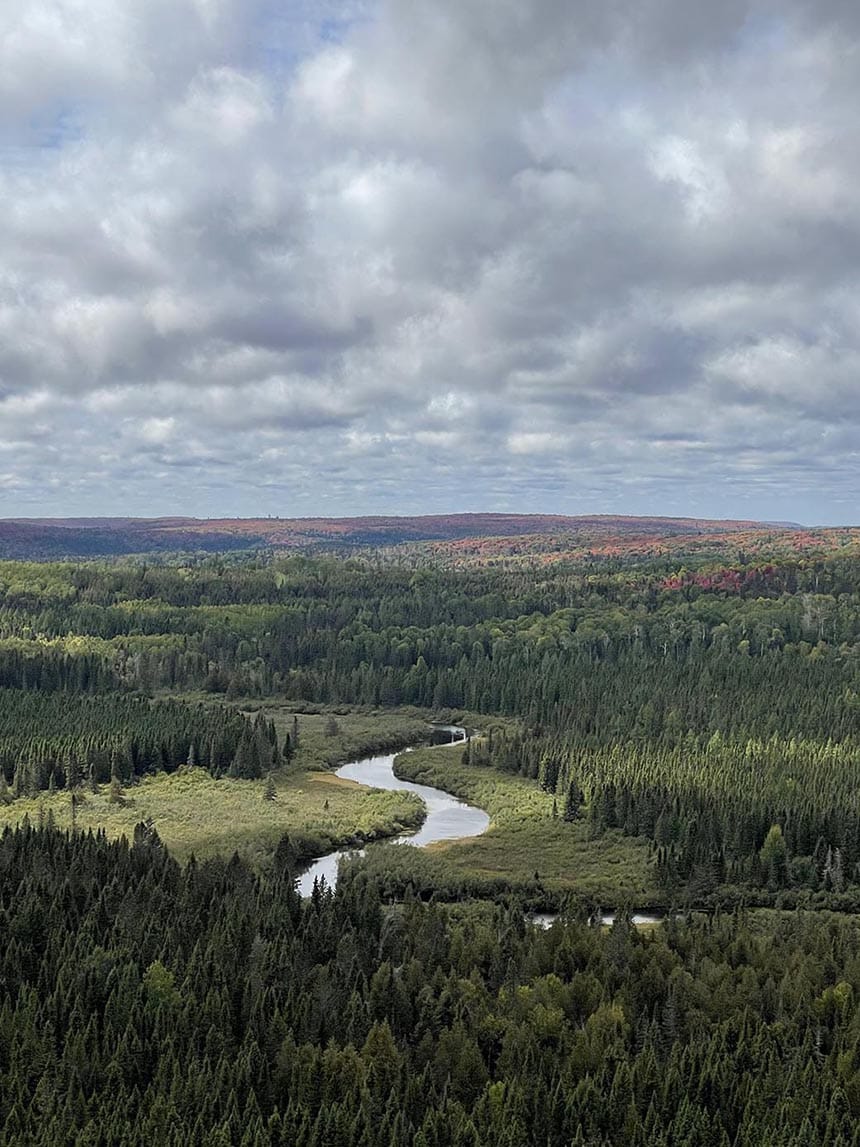
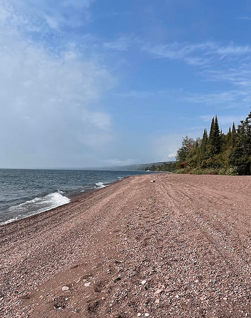
As the name and logo suggest, the Superior Hiking Trail follows the ridges and shoreline of Lake Superior, the world’s largest freshwater lake. First-time visitors are often surprised by the dramatic elevation changes and rugged terrain. With the challenging terrain comes countless miles of jaw-dropping scenic vistas and a surprising level of solitude.

There are many ways to experience the SHT. Most people enjoy the trail by day hiking the popular loops like the Twin Lakes Trail and Ely’s Peak. Backpacking the SHT is also quite popular.
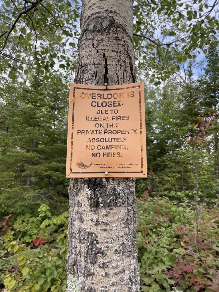
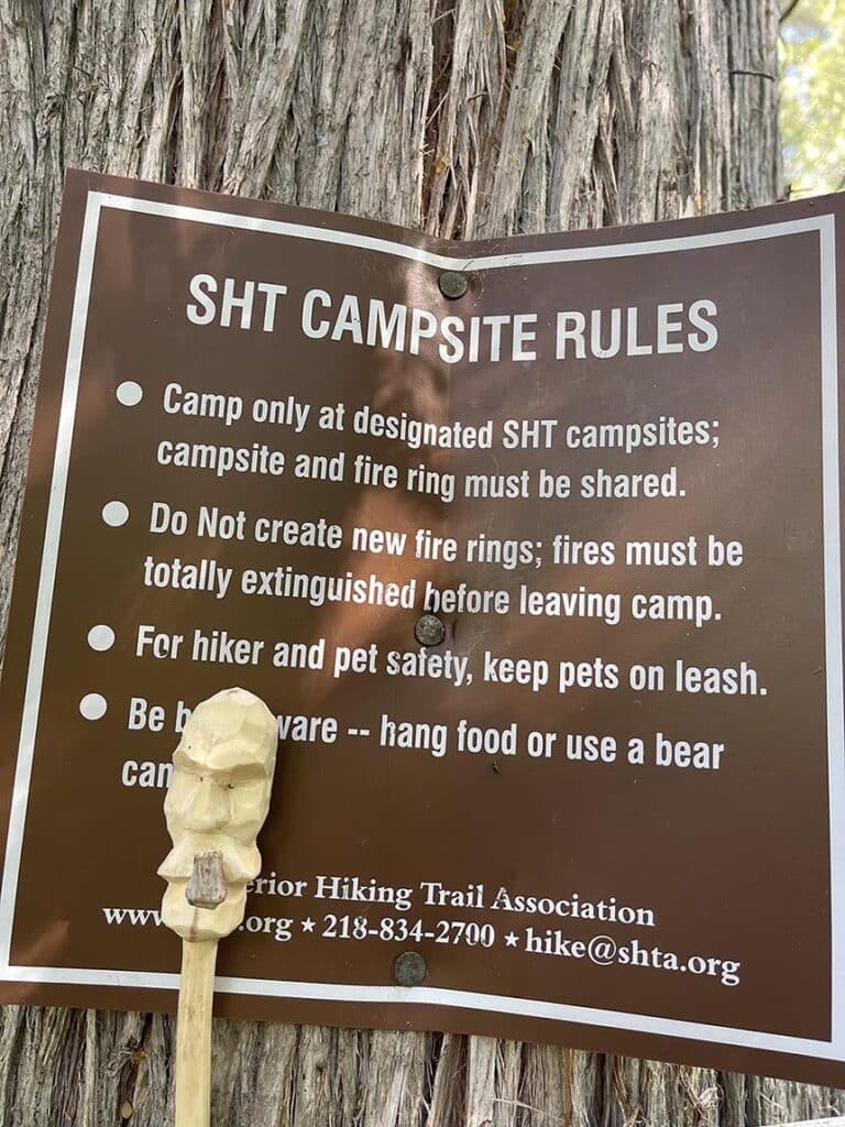
Many users enjoy out-and-back backpacking trips over long weekends. This is an easy way to test out the trail by parking at a trailhead, hiking in for a couple of nights, and heading back the way you came. All SHT campsites must be shared. So, if you’re looking for more solitude, consider hiking on weekdays and choosing less popular trailheads.
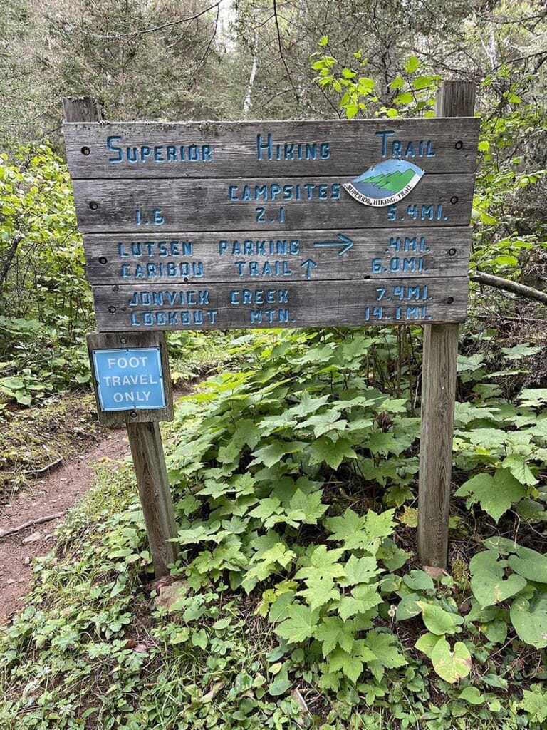
Section hiking is another wonderful way to experience the trail. Section-hikers backpack from one trailhead to another. This requires an extra step to find transportation. I like to leave my vehicle where I plan to end my hike. Some people shuttle themselves by stashing a bike while others get a ride from a friend or shuttle service.
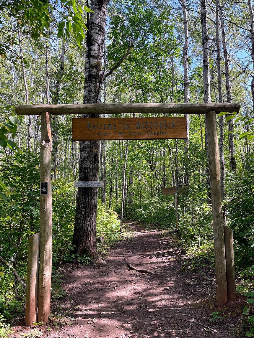
A Superior Hiking Trail thru-hike is when a backpacker hikes from one terminus to the other. Terminus is a fancy word for an endpoint. I hiked from the Southern Terminus at the Wisconsin border to the Northern Terminus that overlooks Canada. The trail is said to be 310 miles long, but with reroutes, resupplies, and all of the wonderful spurs, I would suggest planning your thru-hike to be a bit longer.
Important considerations when planning a thru-hike
That’s odd, I thought, glancing up at the ominous cloud that seemed to have popped up out of nowhere. I checked the weather before leaving camp that morning and was eager to pound out some big miles with the welcomed overcast skies and cooler weather. I checked the weather again and found that strong thunderstorms were predicted for that afternoon. Disappointed that I’d likely need to cut my day short, I picked up my pace, hoping to pack in as many miles as I could.
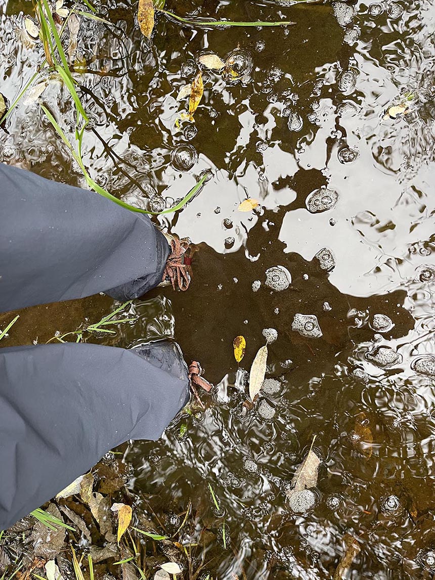
No more than ten minutes later, the sky opened up and it started to pour. It came down so hard and fast that I was drenched from head to toe before I could get my rain gear on. It continued to pour like that for two and a half hours and I was miles from a campsite with nowhere to take cover. Everything was drenched—my rain gear, waterproof pack, and the dry bag where I kept everything I might need throughout the day. Everything, that is, except for my clothes and sleep system which were packed in nylofume bags.
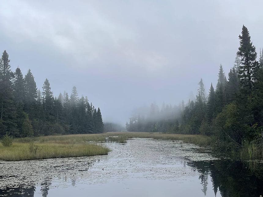
Whether you’re planning to thru-hike or just spend a few nights on the SHT, it’s important to consider how you’ll stay warm and dry. Hugging the shore of the world’s largest fresh lake, it’s not uncommon to experience several seasons in one day. I started my hike during an excessive heat warning. Which was followed by rain so heavy it caused flooding in the city of Duluth. After that, freeze warnings had me snuggled up in all my layers inside my tent right after the sun set. So, for me, planning for the weather on the SHT is just as important as planning nutrition and hydration.
This is the perfect opportunity to point out that every thru-hiker has a different experience on the Superior Hiking Trail. Many of my conversations with other thru-hikers touched on how wild the weather had been. While many hikers that day got stuck in the pouring rain for hours with no place to take shelter like I did, I talked to others we were able to set up camp before the rain hit. I even met someone who stayed warm and cozy in a fancy resort on a preplanned rest day.
When planning a trip like this, it’s easy to create expectations based on the images we see online. We envision beautiful sunny days cooled by gentle breezes. But this is seldom reality—especially if you’re hiking day after day for three to four weeks on a thru-hike. Rain and cold are not guaranteed on the Superior Hiking Trail, but I have been rained on during every overnight trip I’ve been on. So, I believe it’s best to be prepared.
What it’s like to thru-hike the Superior Hiking Trail
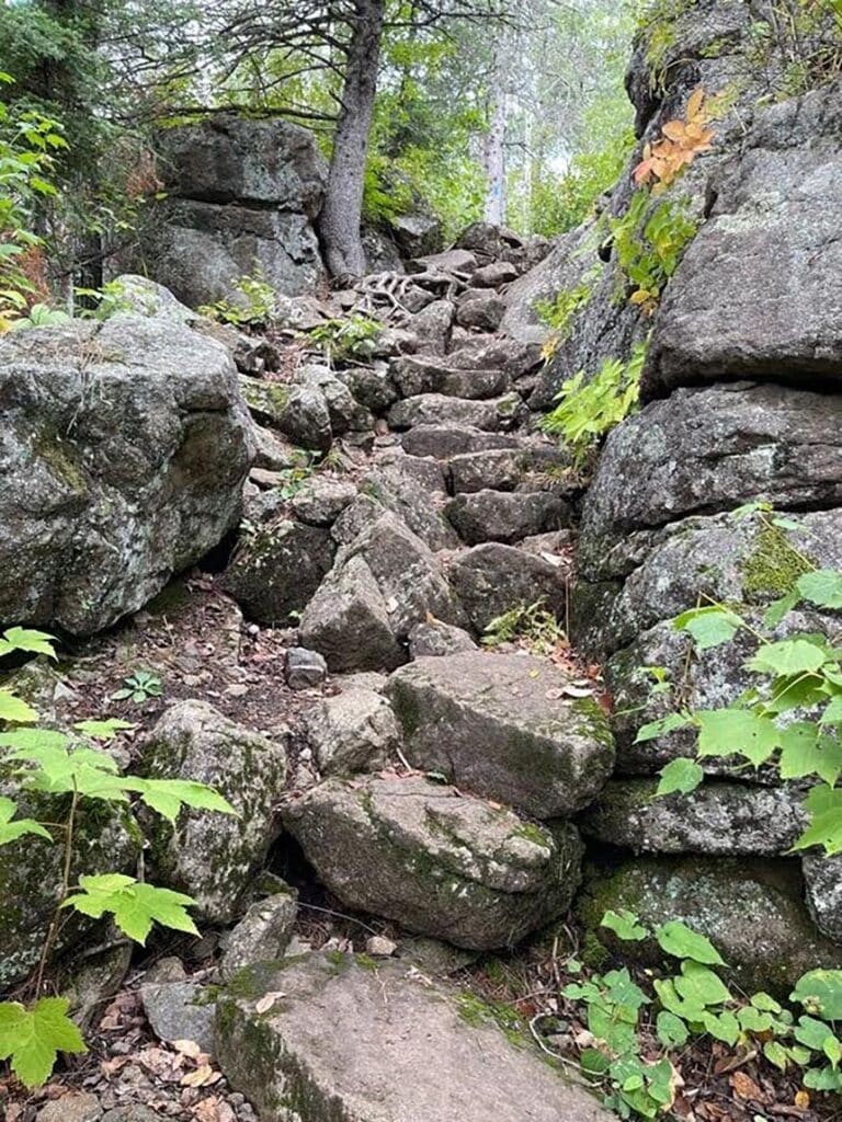
“Are you thru-hiking?” the southbound hiker asked me after we’d exchanged the standard pleasantries. “I am,” I responded. “Can I ask you a question,” he continued, “if you have a minute?” After indicating that I had time, he asked, “Does it get easier further south?” I told him about some challenging elevation changes between the trailhead at Tettegouche State Park and the Split Rock River, but other than that, I told him that the trail isn’t too tough. “It’s not the elevation changes that are killing me,” he exclaimed. “It’s all these rocks and roots.” “Oh,” I smiled. “This is where I started hiking, so this is normal to me. I just assumed every trail was like this.”
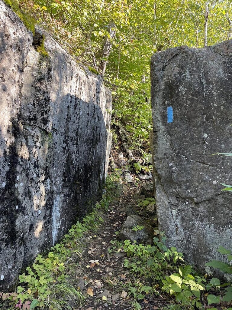
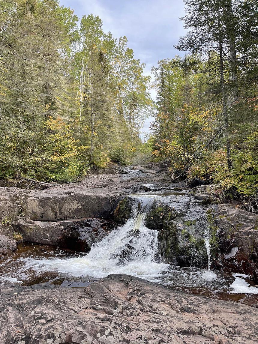
I’ve met a lot of hikers over the years who’ve been taken aback by the terrain of the Superior Hiking Trail. The trail is said to gain and lose over 41,000 feet over the 310 miles. Many of those miles are rocky and root-filled. The only time it’s flat is during the miles of road walks and the sections that share the North Shore State Trail—a multi-use recreational trail known best for snowmobiling in the winter months.
Although I’ve hiked hundreds—if not thousands—of miles on this terrain, there were a couple of days when the rocks and roots wore me down too. I met another thru-hiker who had to switch to sturdier boots after developing plantar fasciitis. And another who wasn’t able to complete the daily mileage she had planned and wasn’t going to be able to finish the trail in the time she had set aside. This seemed to be the norm with all the other thru-hikers I talked to. So it might make sense to plan fewer miles and a slower pace, especially if you’re new to backpacking or unfamiliar with the SHT.
This concludes Part I of my journey to thru-hike the Superior Hiking Trail. If you haven’t already, be sure you’re subscribed to be the first to read Part II. You’ll find out if I finished and discover if thru-hiking the SHT is right for you.
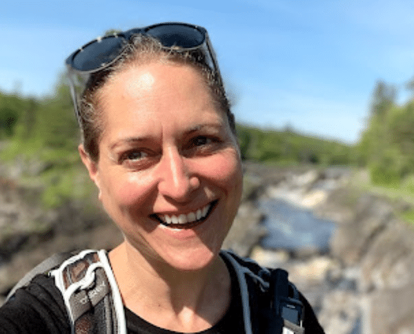
Holly Scherer is a Minnesota-based writer, photographer, outdoorswoman, and guide. She’s most at home in the great outdoors; camping, hiking, paddling, cycling, and gardening. When she’s not on an adventure, she and her husband live in the Twin Cities where they’re fond of saying, “home is where we store our outdoor gear.”