Fourth of July marks 20th anniversary of Boundary Waters Blowdown
The historic storm that wiped out huge swaths of forest and injured visitors left a long-lasting mark on the wilderness.


The historic storm that wiped out huge swaths of forest and injured visitors left a long-lasting mark on the wilderness.
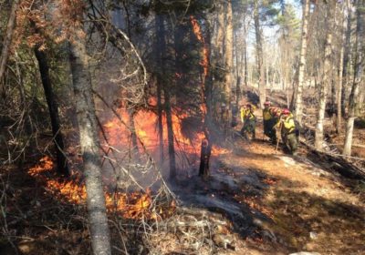
Forest Service plans four projects this fall to reduce the risk of fast-spreading natural fires.
By Charlie Mahler Natural fires in the Boundary Waters Canoe Area Wilderness – those started by lightning rather than, say, by careless campers – provide opportunities and risks for the managers …
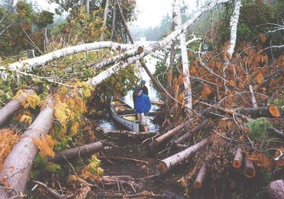
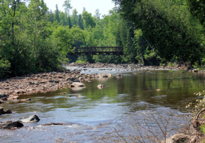
Tomorrow marks the 10th anniversary of the famed Boundary Waters Blowdown. On July 4, 1999 a huge storm packing 90-mile-per-hour winds ripped through the BWCA, uprooting trees, blocking portages, and stranding campers. In all 370,000 acres in the BWCA were affected by the storm.

On July 4, 1999, the sky fell. Or so it seemed. On that day the Boundary Waters Canoe Area Wilderness was hit by a historic storm unlike anyone had ever seen.
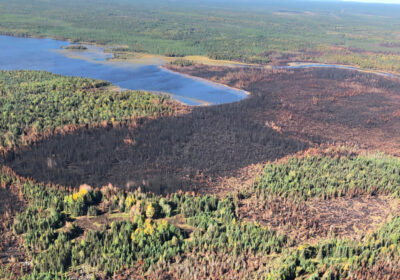
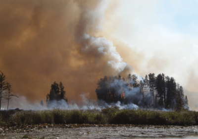
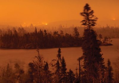
Superior Hiking Trail closed, Boundary Waters closed due to fires. Updated maps, photos from fires in Boundary Waters Canoe Area Wilderness and Superior National Forest as official information is available. Greenwood Fire grows, Moose Lake Fire detected…
Low water levels, cyanobacteria, wildfires, stressed forests due to extremely dry conditions.
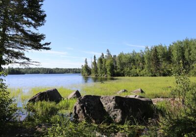
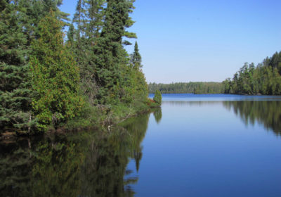
Birch Lake near the Boundary Waters offers a serene northwoods camping experience apart from busy state parks, with lake vistas and abundant opportunities for fishing.

New research finds that letting a few trees remain in harvested stands can provide big benefits for wildlife.
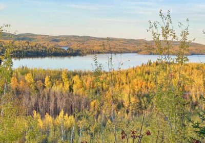
A fall hike along the edge of the Boundary Waters. Ada Igoe shares one of her favorite trails, easily accessible from the Gunflint, on marked ski trails through aspen and jackpine to incredible vistas…
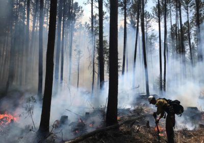
Fires will reduce the amount of flammable forest materials in areas hit by the 1999 blowdown, and hopefully reduce the risk that a wildfire could escape the wilderness.
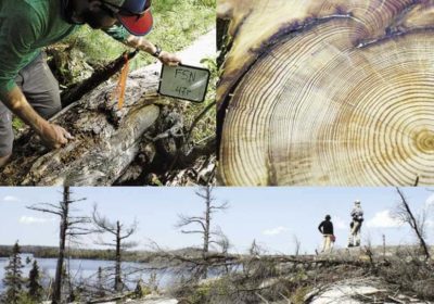
“By examining annual growth rings in increment cores taken from tree trunks, we found that many pines at this site were more than 250 years old. Distinct injuries recorded within their rings denoted the passage of multiple low-severity surface fires that damaged but did not kill many of these trees…”
In May 2007 an out of control campfire off the Gunflint Trail grew into a wildfire that burned 75,851 acres. Ten years later, the forest is at a turning point…
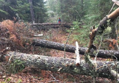
The Kekekabic Hiking Trail was severely damaged by a windstorm last summer.
Severe storms wreak havoc on wilderness, blocking roads and portages and harming visitors.
Researcher Lee Frelich says wilderness forests are being changed in several ways.

By Rob Kesselring Archaeologists are painting a picture of Quetico-Superior’s first people and what the land looked like 12,000 years ago. Crouched behind a granite boulder we wait. A damp northwest …
