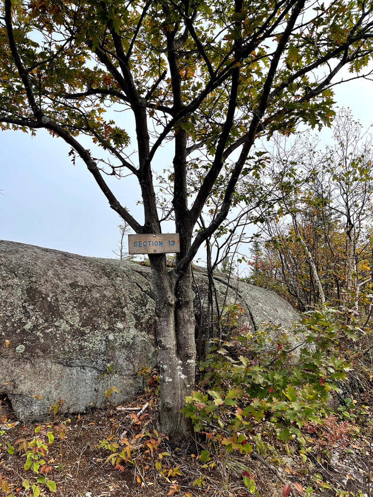
“That will make a great story,” I thought, as I started my climb to the Section 13 Cliffs on the Superior Hiking Trail. I was only 0.3 miles into my hike and I already had a story to tell. But as you know, things rarely go as planned.
I was planning to write a funny story about a section hike I did earlier this year with a friend. Now, as I made my way to the top of this one-and-a-half-mile climb, I found I had another story to tell.
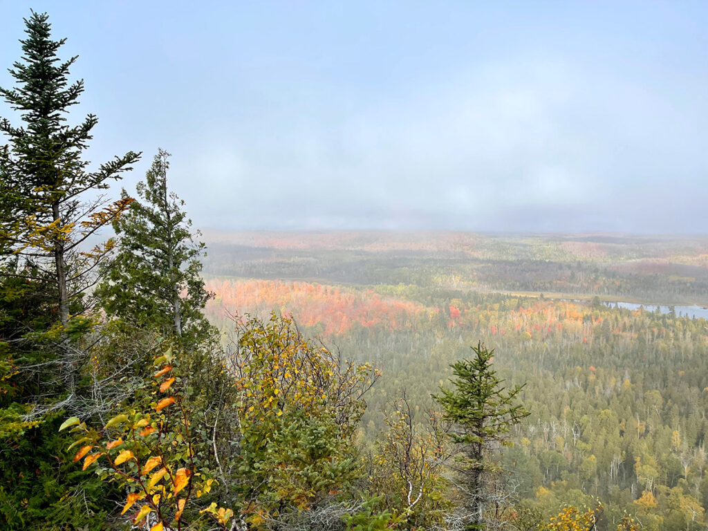
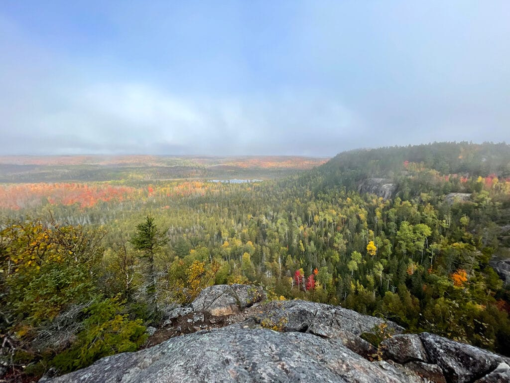
To be honest, I was kind of disappointed. I had climbed all this way, over rocks and roots, to find the entire valley covered in fog. I could barely make out the red and yellow changing leaves I was so eager to highlight.
But then I realized how beautiful it was just as it is. I remembered all of the people who had told me earlier this year that seeing the fog roll in from the big lake was on their bucket list. And here I was, looking out over magnificent cliffs and fall foliage changing hues as the fog rolled in and out. It was magical.
I hiked six different trails that day and as I reviewed my photos the following day, it was clear that this was the most impactful experience of them all. Each hike was beautiful in its own way. But I’ve never seen this section of trail exactly like this and it’s unlikely I’ll see it like this again. It was a wonderful lesson about appreciating what is.
Why You Should Go
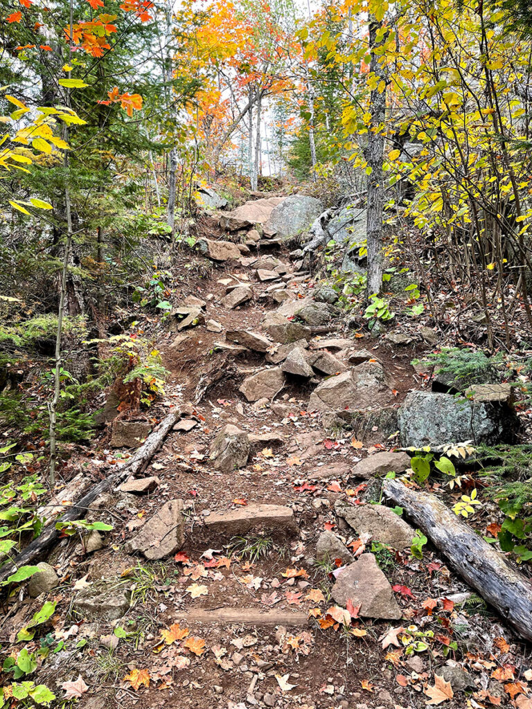
The Superior Hiking Trail is challenging but I didn’t actually know this until I started backpacking and hikers from other states told me how challenging it is. This is where I started hiking, so I just assumed this was hiking. It’s rocky and rooty and has plenty of ascents and descents. There’s loose gravel and slippery rocks and I’ve wiped out more times than I can count. During wet years it can be unbearably muddy. And all of that being said, I love everything about this trail.
I haven’t done an official mileage count, but I’ve hiked most of the 310-mile trail. Over the years I’ve seen people of all sizes and abilities enjoying what is arguably one of the most beautiful places in the world. Yes, there’s some climbing. Yes, there are rocks and roots. But you’ll be rewarded with incredible views and a sense of accomplishment.
How to Get There
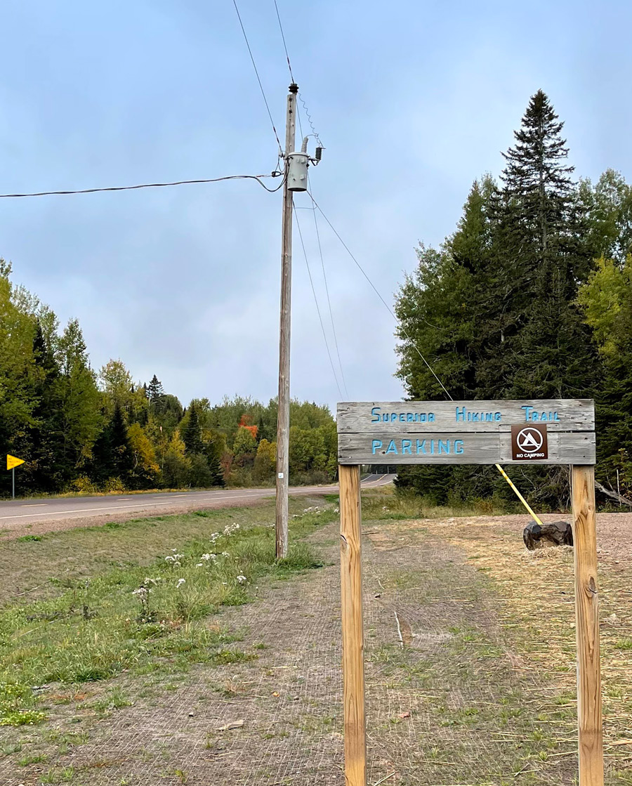
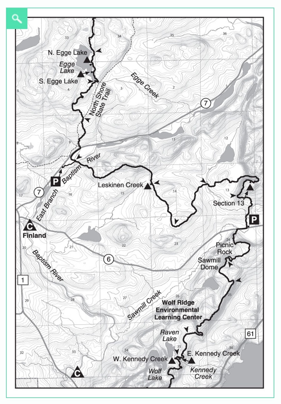
This is one of the easier trailheads to get to and has a new parking lot that can accommodate many hikers. Keep in mind that most Superior Hiking Trail trailheads don’t have facilities—so be prepared. If you’re coming from the Duluth end of Highway 61, the Visitor Center at Tettegouche State Park is a great place to stop and use the restrooms and fill your waters. From Highway 61, take Lake County Road 6 and you’ll find the parking lot about 2.5 miles inland on your right.
On the Trail
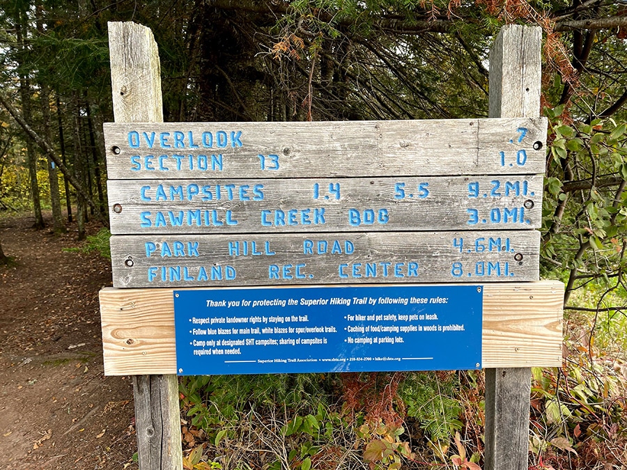
Once you’re parked and filled your daypack with snacks and water, head back toward the road you came in on. You’ll see a path that leads you to a sign that says Section 13 – 1 mile. You’ll walk through a section of spruce and firs before coming to a boardwalk. Enjoy the flat walk before starting your climb.
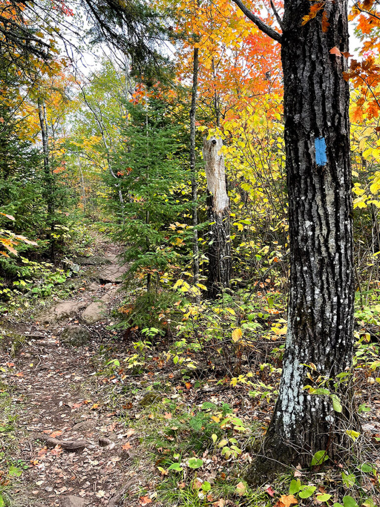
The “SHT” is very easy to navigate. For the most part, it’s one trail marked by blue blazes. You can buy maps through The Superior Hiking Trail Association. I have the digital version of their guidebook on my phone so I always have maps and trail descriptions with me. They also have a lot of great information on their website.
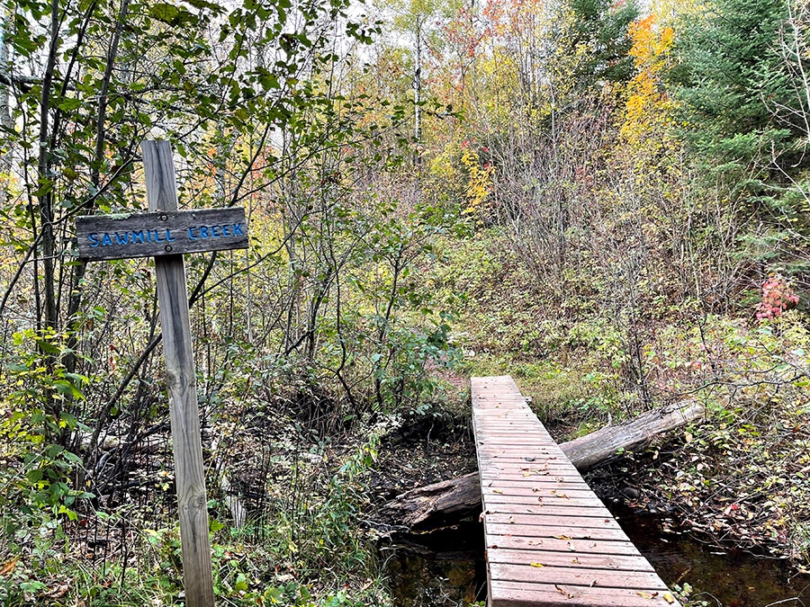
Continuing on, you’ll cross Sawmill Creek. Stop and enjoy the trickling sounds because hiking isn’t just about the epic overlooks, it’s an opportunity to use all of your senses. About 0.3 miles in, you’ll start to climb, and it won’t stop. But it will be worth it.
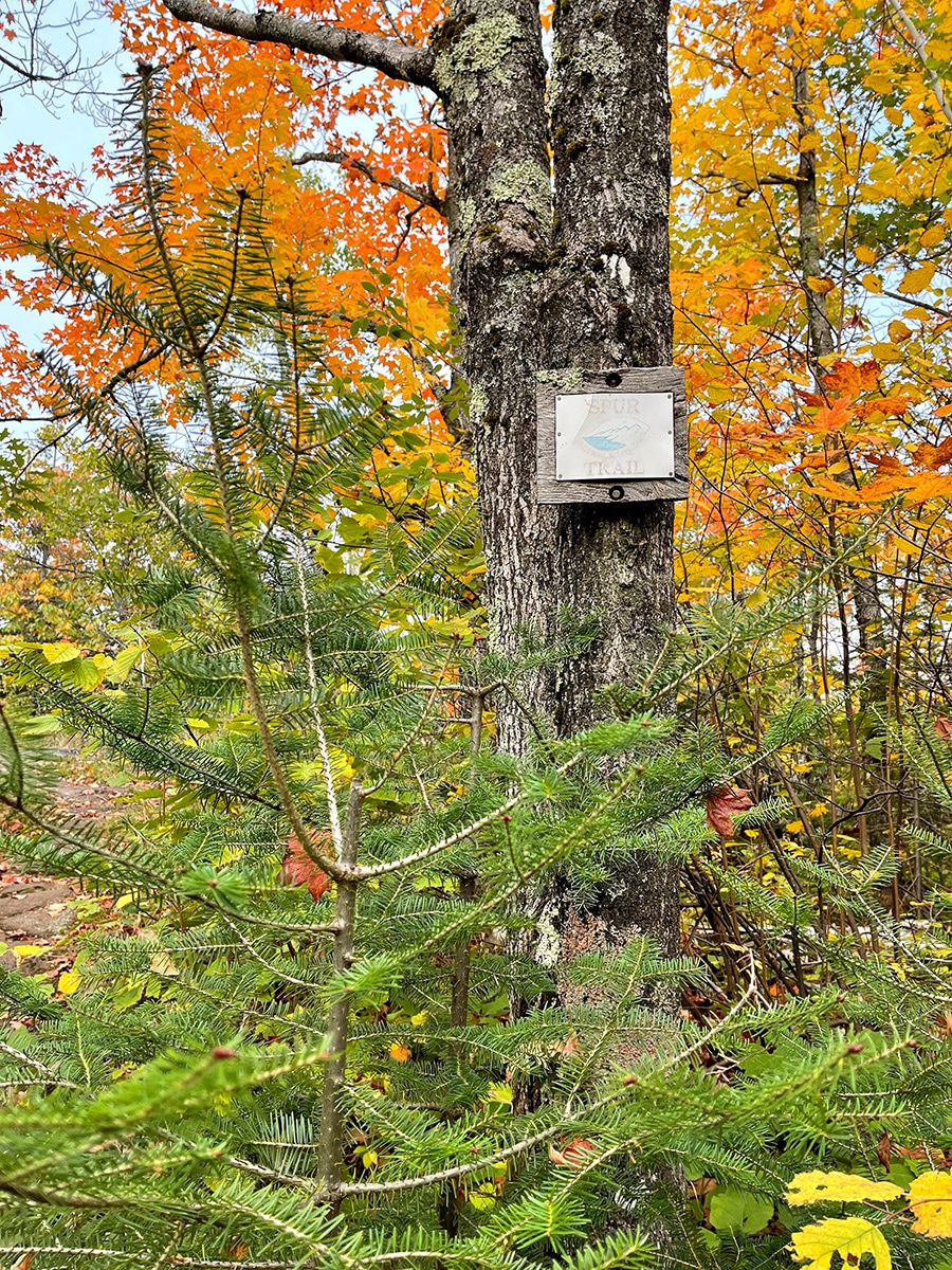
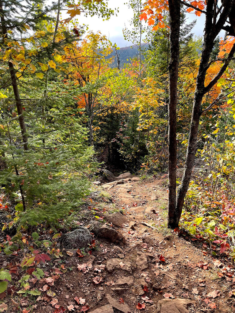
Before you know it, you’ll be walking through an abundance of healthy maples. Look up and down and enjoy the show. There’s more climbing ahead and you’ll get peeks of color—an appetizer for the magic that lies ahead. About a mile in you’ll see a faded sign for a spur trail. Go ahead and take it, look around, and catch your breath. There’s more climbing ahead.
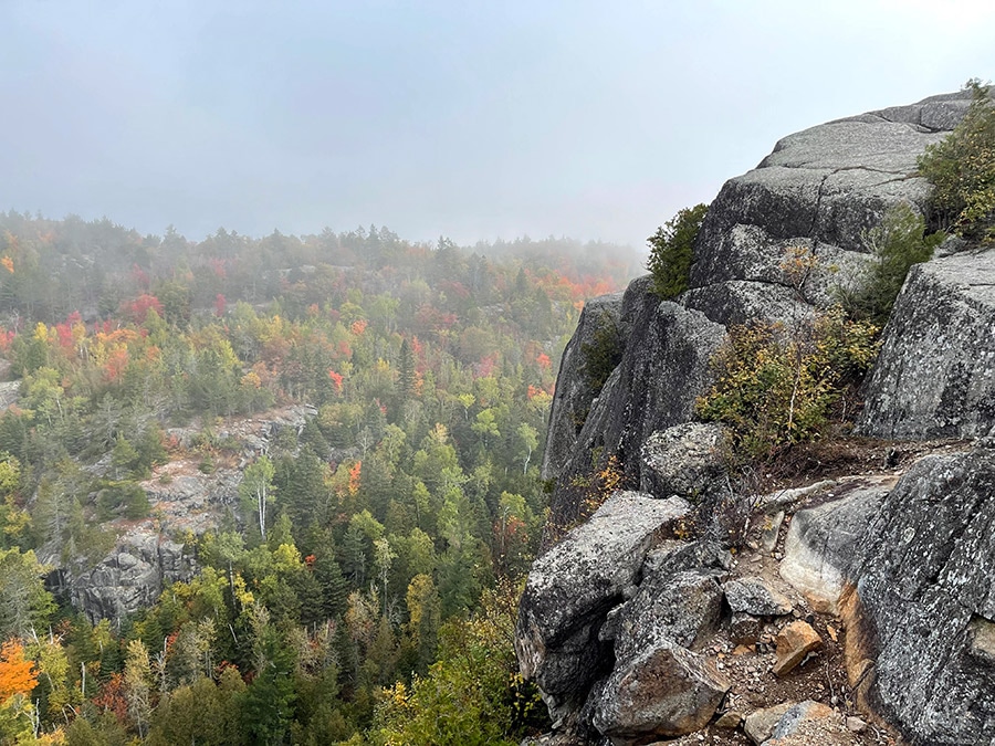
After you’ve questioned your sanity on more than one occasion, you’ll find yourself on top of some of the most beautiful cliffs and rock outcroppings that the state of Minnesota has to offer. Walk around and explore. There’s no shortage of vantage points to snap photos or just let it all soak in. But take care to watch your step. There is loose gravel and sharp drop-offs. Always keep your safety top of mind.
Once you’ve said, “wow,” and “oh my gosh,” 100 times, you’ll be ready to head back to the trailhead for your next adventure. Other than a couple of steep sections, it’s a relatively easy hike back. I find trekking poles to be very helpful on descents. They’ll help you keep your balance and take some of the pressure off of your knees and joints.
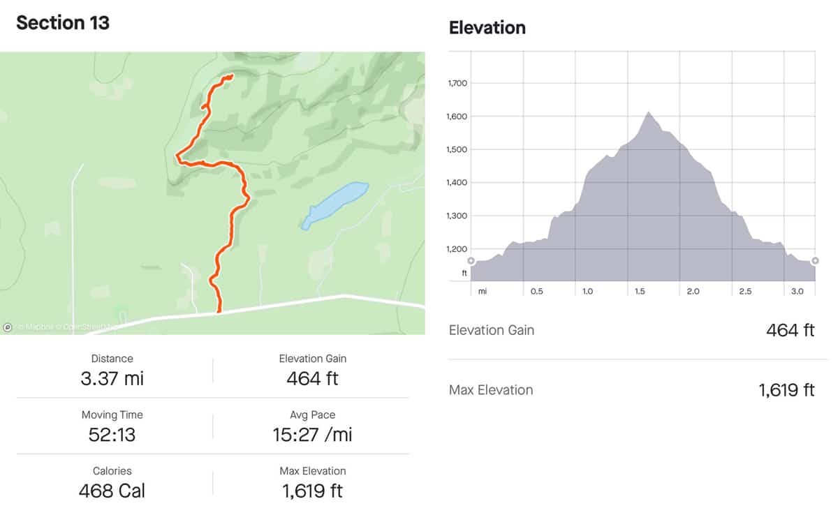
The total hike, including all the poking around you can handle, is about 3.5 miles. I typically plan of two miles per hour and that leaves plenty of time to take it all in and snap plenty of epic photos. Leave yourself two hours to make the most of this challenging yet wonderful hike.
If you’re looking for beautiful vistas from a trailhead that’s easy to get to, Section 13 might be the perfect fall colors hike for you. But don’t stop there. I’ve hiked this in the spring and summer and it’s just as lovely. If you’ve got more miles in you, check out Sawmill Dome just up the road. Stay safe and happy trails!
More Information:
The Superior Hiking Trail Association Maps and Resources
Trail: Silver Bay to Caribou Falls State Wayside