


In The Scenic Route: Building America’s North Shore (University of Minnesota Press, May 2025), author Arnold R. Alanen takes readers on a 150-mile journey that showcases the man-made features and unique personal stories that define one of Minnesota’s most scenic byways. This in-depth field guide will draw readers back to its photos and maps time and time again.
Field guide to Minnesota’s most scenic byway
Minnesota State Highway 61 traces the edge of Lake Superior, offering residents and travelers sweeping views of some of the state’s most dramatic landscapes. Author Arnold R. Alanen’s latest book covers decades of what he calls the “built environment” and culture along one of the greatest lakes. While Alanen covers broad prehistoric and historical periods, The Scenic Route: Building America’s North Shore primarily focuses on the late 1800s through the present day.
Part One is an overview of history. The book explains that early people arrived soon after the last glaciers receded. Paleo Indians traveled in small groups across the region, hunting and fishing. Then the Anishinaabe came, creating communities in northeastern Minnesota and developing a rich cultural heritage. Eventually, Euro-American explorers and fur traders plied the waters along the Great Lakes and border waters, seeking land to claim and products to trade. More inhabitants, particularly from Scandinavia, came along and began to farm, log, mine, and commercial fish.
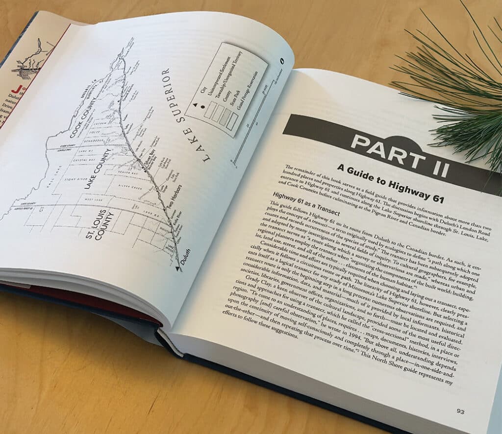
As the area grew, people created footpaths along Lake Superior’s shores. Around 1917, they transformed those trails into an early motor road that later became the paved Highway 61. For a time, the road took a more inland route to avoid the shoreline’s rocky divides. Over the years, improved funding and engineering have helped build the roadway people drive today. The current highway starts in Duluth and runs northeast, ending at Grand Portage near the Canadian border.
Stories of the place and the people
Alanen first became curious about the North Shore during a road trip he took as a teenager. In an interview with Boreal Media, he shared that specifically, the Grand Portage holds deep meaning for him. “It speaks to me most clearly about the long sweep of time and events that underlie the North Shore,” he said. He added, “Grand Portage also reminds me that, aside from very limited archaeological evidence, we know practically nothing about the earliest Indigenous people who lived in the area: what thoughts and words did they use to describe their local environments, for example?”
The 490-page book is divided into two parts. Part One covers decades of history of the roadway starting in 1856 and ending in 2024. It begins with the early days, in which travel was primarily on foot, by horse, or by dog sled. Rutted or flooded sections often forced people to travel seasonally. Steamboats eventually came along, also carrying people, goods, and mail at stops along the shore.
As time went on, people saw a need for a more permanent solution and ease of travel. According to the book, crews surveyed, developed, and paved a more formal roadway between 1918 and 1929. In 1929, the community in Two Harbors celebrated the completion of the final paved section. Workers strengthened the relationship between Canada and the U.S. by building a bridge over the Pigeon River. This bridge made cross-border travel easier and shortened travel times.
The lure of tourism
In his book, Alanen notes that the coastal waters drew tourists north during the Great Depression. They flocked to the area’s resorts and cabins to relax, fish, and enjoy the healthy climate. It was truly becoming one of the state’s top tourist destinations.
The builders designed the 150-mile route not only for practical purposes but also to showcase its scenic value and proximity to Lake Superior.
“Although America’s early twentieth-century roadbuilding projects were almost always guided by practical and utilitarian requirements, some engineers and landscape architects view the new highway construction as an opportunity to make scenic sites and recreational opportunities more accessible–primarily by highlighting the outstanding natural attractions of an area or region.”
Even roadway signs and billboard advertisements faced significant scrutiny, prompting officials to implement rules that preserve the scenery by reducing unnecessary distractions.
Building more amenities
The book covers other key infrastructure, including trails built along Lake Superior. One example is a railroad line between Duluth and Two Harbors that gave tourists a unique way to experience the region’s history. Today, the North Shore Scenic Railroad remains in operation.
Then, in 1986, developers began building the Superior Hiking Trail, eventually creating a 310-mile footpath between the Wisconsin and Canadian borders. Also, another major project started in the ’80s when they began constructing a non-motorized trail. The nearly 90-mile-long paved Gitchi-Gami State Trail that follows the shore draws bicyclists, walkers, and joggers. Finally, in 1993, the Minnesota Department of Natural Resources approved the Lake Superior Water Trail. The trail invites kayakers to camp along and explore the dramatic shoreline, whether for a day or over several nights.
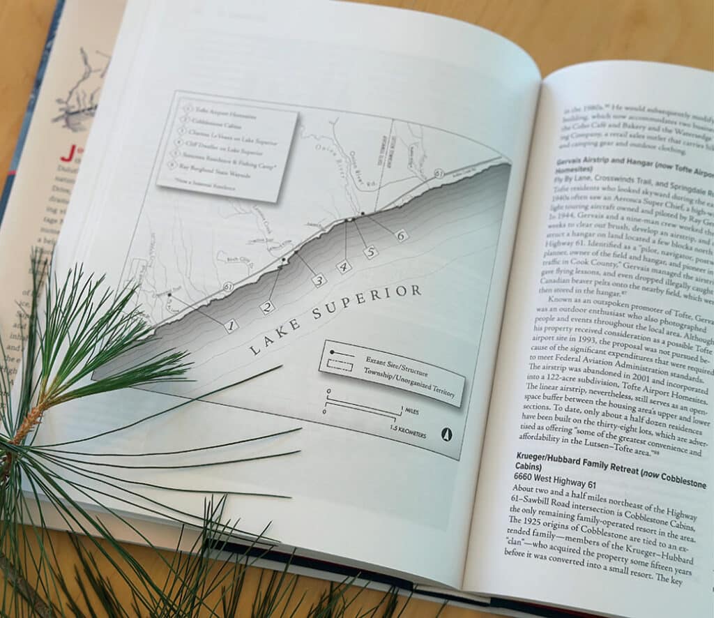
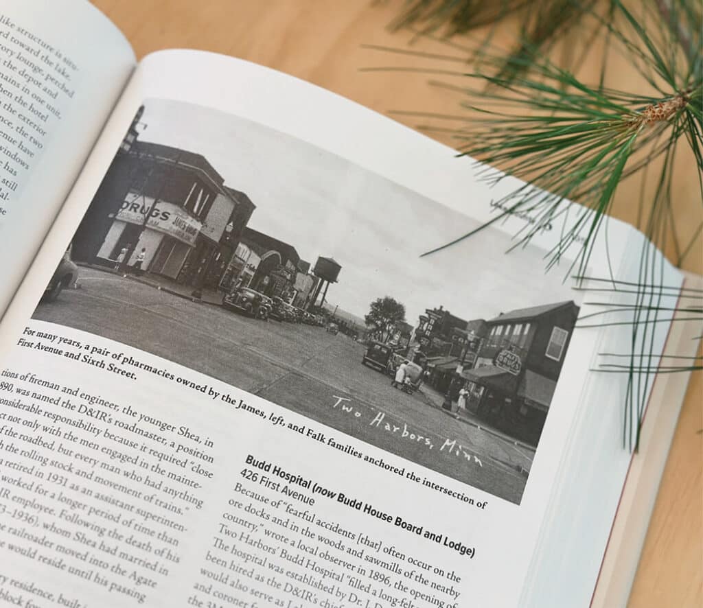
The 490-page book is filled with maps and photos that examine the communities along Lake Superior.
Life along the shore
Part Two breaks down the history of three counties: St. Louis, Lake, and Cook. Under each county, the book presents detailed photos, places, and the people who have made the region home. Extensively researched, it draws readers into the cabins, resorts, shops, logging operations, and scenic waysides. Together, these create a colorful tapestry of life that makes the North Shore unique. Some places still exist and may be visited, while others are only a memory.
The Scenic Route is the first of its kind, providing a comprehensive and in-depth look at how the highway and the communities along the North Shore took shape. Taking MN 61 north is taking a step back into history.
Author Alan R. Alanen is a professor emeritus of planning and landscape architecture at the University of Wisconsin-Madison. Describing himself as a “cultural landscape historian,” this book is a culmination of his academic career. He has written numerous other books on Minnesota.
More info:
- The Scenic Route: Building Minnesota’s North Shore by Arnold R. Alanen (University of Minnesota Press, May 2025)
- “The Scenic Route”: A look into North Shore’s past and present cultural landscape – Boreal Media
- Taking ‘The Scenic Route’ into history – WDIO