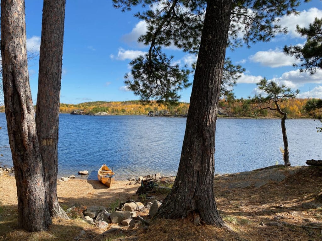
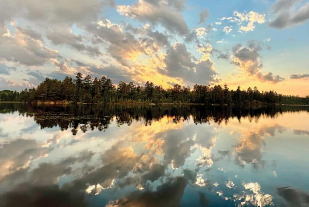
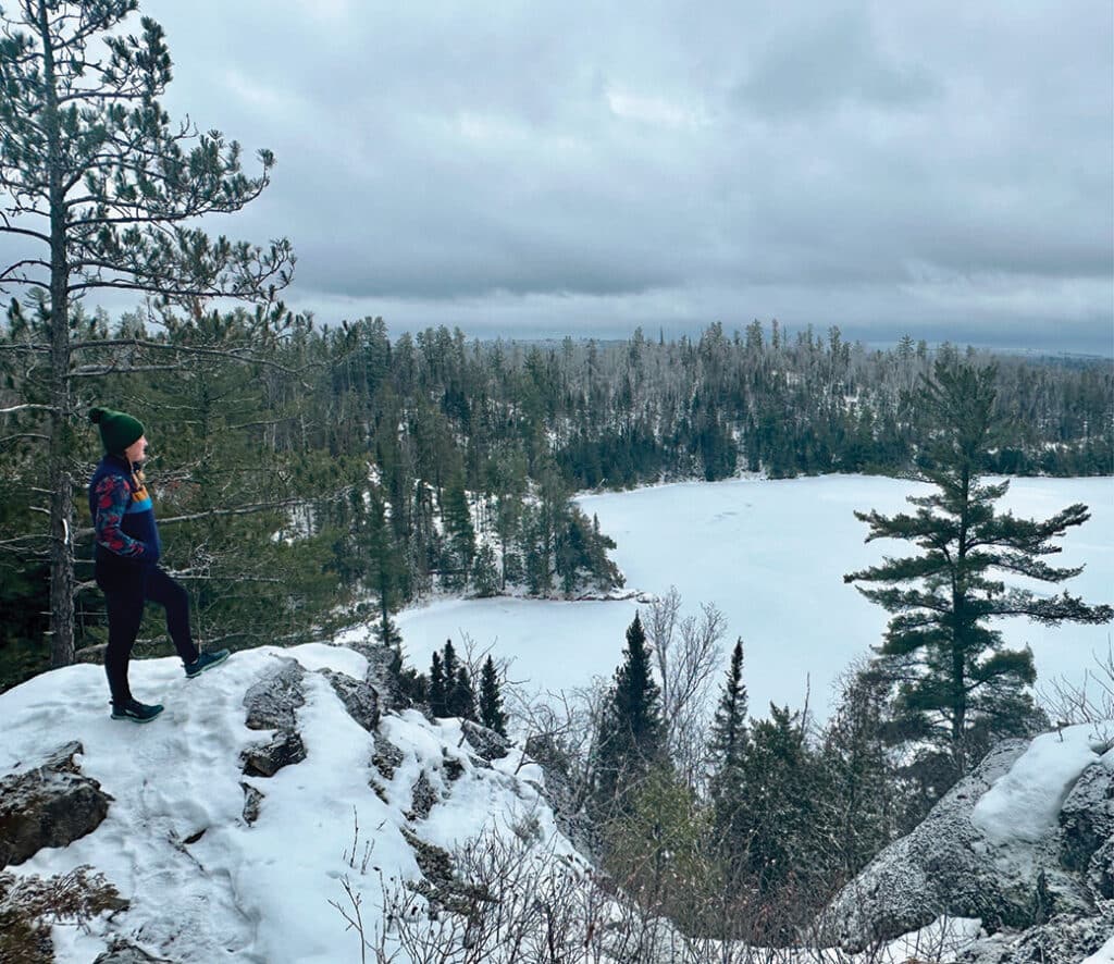
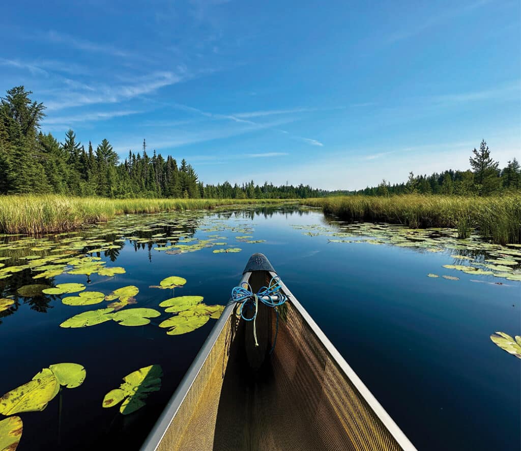
Mapping the path: how mining pollution could reach the Boundary Waters

To illustrate the threat of mining pollution, media site More Than Just Parks has launched an immersive online experience in collaboration with Save the Boundary Waters. The project features an interactive map and historical data detailing how contamination from the proposed Twin Metals mine could spread through the Rainy River watershed.

Canoe paddlers on a foggy lake in BWCA

Pro tips: cold weather safety for spring canoe trips in the BWCA

Spring in the Boundary Waters offers unmatched solitude and the first signs of life, but the beauty hides a deadly risk: water temperatures that linger in the 40s and 50s long after ice-out. An experienced guide shares tips to help stay safe, warm, and prepared for the unpredictable conditions of a BWCAW shoulder-season adventure.

Boundary Waters Trail Volunteers

Preserving the path: how BWAC volunteers maintain 200 miles of wilderness

From the successful restoration of the fire-ravaged Powwow Trail to an ambitious new project rebuilding boardwalks on the popular Eagle Mountain Trail, BWAC volunteers are the boots on the ground keeping wilderness paths open. Crews paddle or hike in, and use traditional hand tools to clear deadfalls and protect the trail experience for thousands of hikers.

Blazed trail on tree along Superior Hiking Trail

Superior Hiking Trail celebrates 40th anniversary

One of Minnesota’s most scenic and longest hiking trails turns 40 this year. The Superior Hiking Trail began as a grassroots effort by hiking enthusiasts who wanted to create a long-distance trail in the state. The trail, which loosely follows the rocky spine overlooking Lake Superior, is popular with hikers who explore it each season.

Conneticut Warbler photo Sparky Stensaas

Minnesota’s bird migration hot spot, the Sax-Zim Bog

Sax-Zim Bog in Minnesota is a unique place where species thrive that you won’t find elsewhere in the U.S. In spring, myriad birds seek varied habitats to nest or rest briefly during migration. Visitors can come and witness this spectacular seasonal movement.

Discover Minnesota’s deepest inland lake in the Boundary Waters

It’s no secret that Minnesota has a lot of lakes—the DNR has listed 11,842 of them. Although Lake Superior is the deepest overall, Saganaga Lake in the BWCA ranks as the deepest natural inland lake. Its easy access draws all kinds of adventure-seekers to its cool, clean waters each summer.

canoe on beach in Quetico with sunset over lake

A snapshot of Quetico Provincial Park’s past

Most people think of Quetico as a paddler’s paradise with over 1 million acres to explore. But the land has played an important role in the lives of the Anishinabeg people for thousands of years, as they lived, hunted, and travelled in the region, and continue to do so.

Campsite on ice BWCA

Good winter camping etiquette in the Boundary Waters

Minnesotans have become increasingly interested in winter camping, particularly in the BWCA. But, as in other seasons, it’s essential to minimize your impact and practice good etiquette. We’re sharing both written and unwritten guidelines to help everyone enjoy a positive experience while protecting the natural environment.

Winter hike on the Secret Blackstone Trail near Ely

Ely has many great trail systems, some of which are especially fun in the winter. A favorite winter hike is the Secret Blackstone Trail. Located near Moose Lake, quiet trails loop around scenic lakes flanked by thick woods. It has a wilderness feel, though it’s not far from town. Here’s what you’ll need to know before you go.  

Everything you need to know about the new BWCA food storage order

The USFS has updated the regulations concerning food storage in the Boundary Waters Canoe Area Wilderness. Hanging items in a tree or using approved bear-resistant containers has been a part of the regulations and rules, and now violations can bring penalties. Learn how to hang a food pack from a tree and travel safely through bear habitat.

Remote Area Border Crossing permit updates for Quetico

Canadian authorities have provided an update to the Remote Area Border Crossing Permit program (RABC). They announced the introduction of a telephone reporting system in areas previously covered by the RABC program. The new system will begin September 14, 2026. Until then, those who currently have a valid RABC permit can use it until September 13, 2026.

High Falls pedestrian bridge at Tettegouche State Park opens

For years, visitors to Tettegouche State Park had to detour around the High Falls. This was due to record storms over the past few years that destroyed the bridge over the Baptism River. After several years of closure, a new, higher, and stronger bridge now carries foot traffic across the river.

Cove Point Hiking Trail Loop near Beaver Bay

Off the Beaten Path: The 6-Mile Superior Hiking Trail Loop with Epic Rewards

Hike to scenic vistas with fabulous foraging. Known as the Cove Point Loop, this six-mile lollipop loop section was built in 1996. While the trail begins across Highway 61 from the lodge, there’s no public parking on-site. Cove Point Lodge guests can walk across Highway 61 to access the trail. If you’re not staying at the lodge, consider these two alternative routes…

Conservancy secures largest land acquisition in decades

In an important move, The Nature Conservancy has purchased more than 12,000 acres of dense forest and wetland north of Two Harbors, marking its largest land acquisition in over 25 years. Conservation efforts will focus on sustainable management that supports the health of forests, wildlife, and clean water.