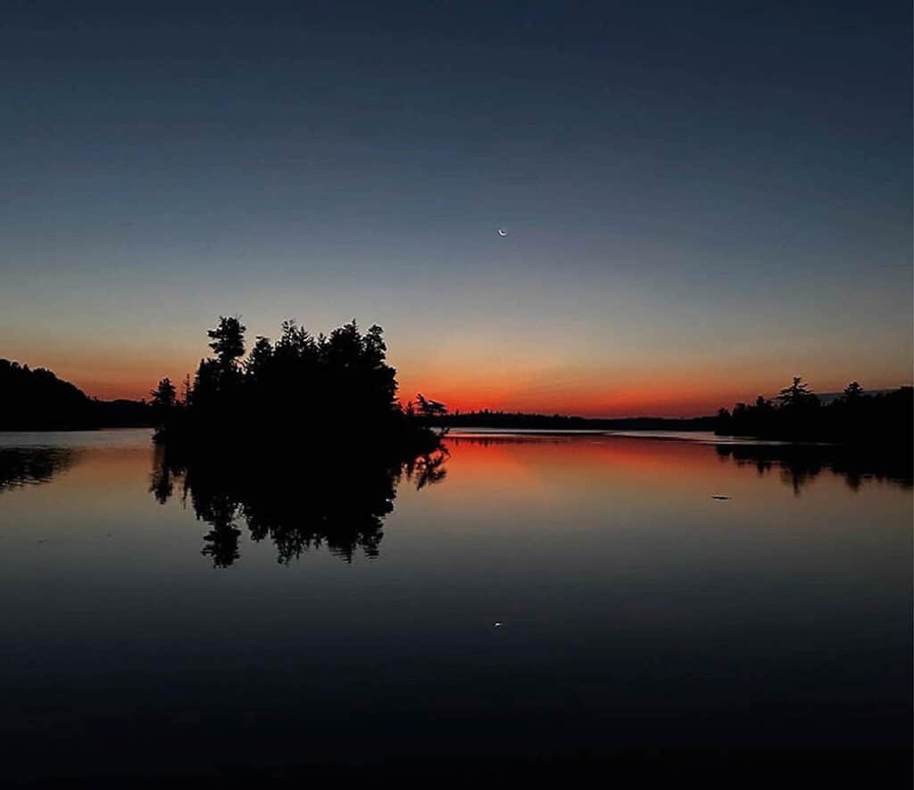
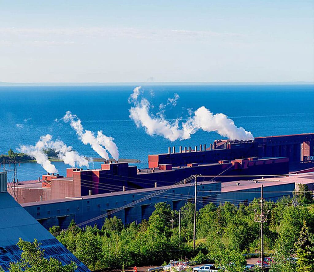
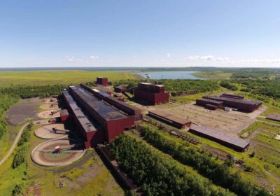
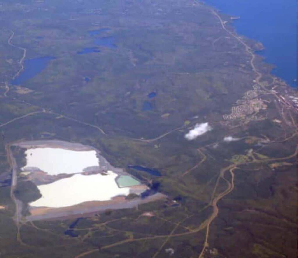
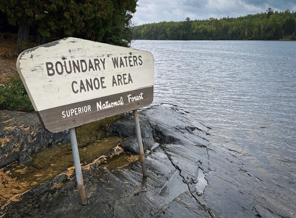
fbpx

How is the international border marked in the BWCA?

Along the northern edge of the Boundary Waters Canoe Area Wilderness (BWCA) lies an invisible line. The international border stretches over 150 miles of water trail, following the shorelines of Quetico Provincial Park to the north and the BWCA to the south. Careful observers may notice the subtle demarcation of the international boundary as they paddle by. Short metal reference markers are punched firmly into hard granite rock.

Legislators seek to ban risky mining practices in BWCA wilderness watershed

New legislation has been announced at the Minnesota state capitol, seeking to strengthen protections of the Boundary Waters from mining pollution. Chief authors Sen. Kelly Morrison and Rep. Sandra Feist seek to put legal restrictions on four specific mining practices they say represent unacceptable risk upstream of the Boundary Waters Canoe Area Wilderness.