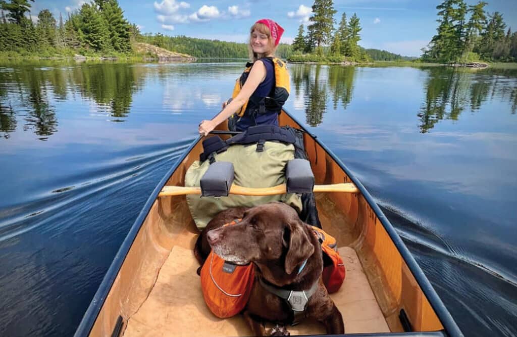
A guide to exploring the Boundary Waters with your dog
Bringing your dog to the Boundary Waters? Dogs are a fairly common sight in the BWCAW. You may see them nestled in the middle of packs, or on a portage trail carrying a dog pack…

Bringing your dog to the Boundary Waters? Dogs are a fairly common sight in the BWCAW. You may see them nestled in the middle of packs, or on a portage trail carrying a dog pack…
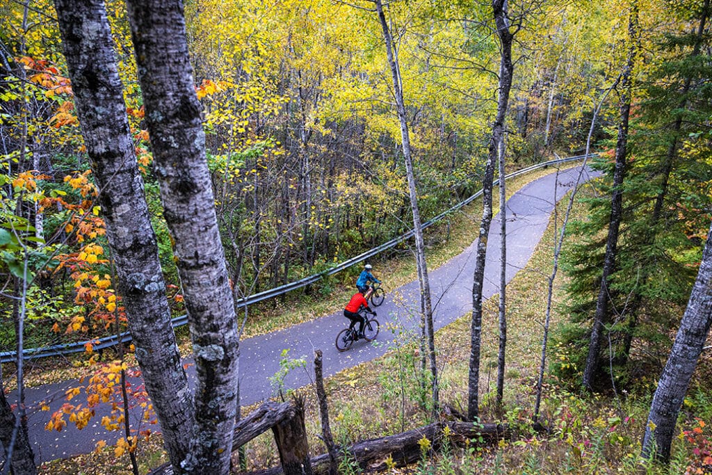
The Mesabi Trail is nearing completion as crews finish another section of Minnesota’s longest paved trail. Once complete, the trail will connect Grand Rapids and Ely with a continuous route.
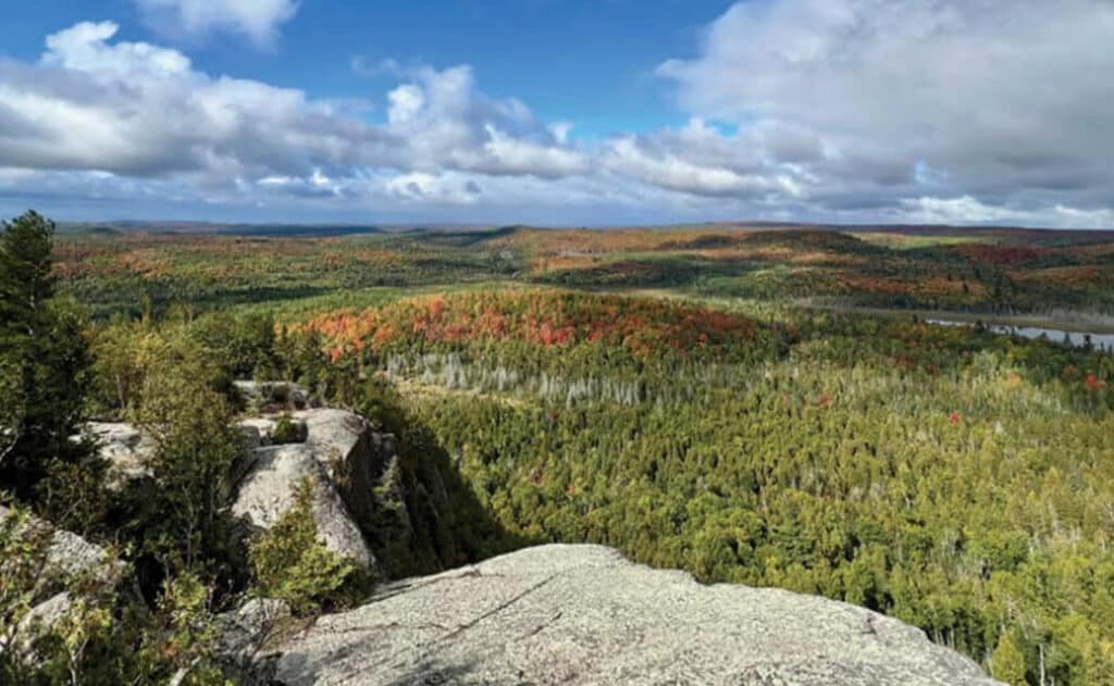
About 10 miles inland from Lake Superior, not far from the scenic North Shore, is the Finland State Forest. The 300,000-acre forest offers camping and hiking opportunities, as well as hunting, fishing, and other forest-industry-related activities. Part of the Western Great Lakes forests, this region is a transition zone between the boreal forest further north and the deciduous forests to the south.
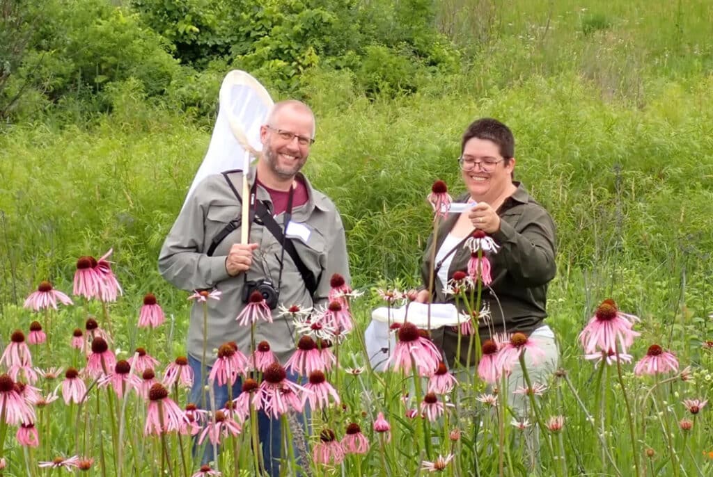
Between August 1-9, everyone who visits the park is encouraged to document as many species as possible using the app iNaturalist. The goal of the project is to provide opportunities for the public to contribute to the scientific knowledge of the area, helping to inform park management and conservation efforts.
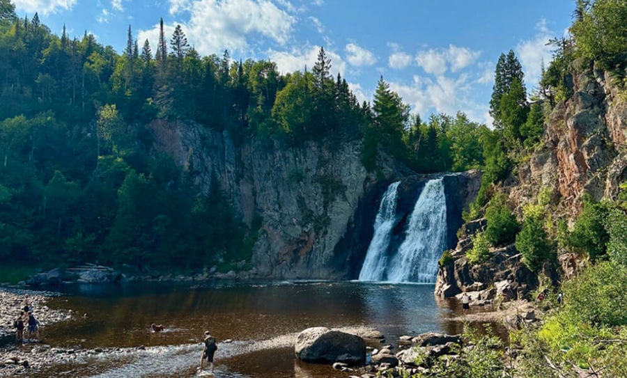
While many permits have been canceled due to ongoing wildfires in the BWCAW, there are still plenty of opportunities to explore areas outside the wilderness and nearby communities. Plan your northern MN adventure with our favorite alternatives to the Boundary Waters.
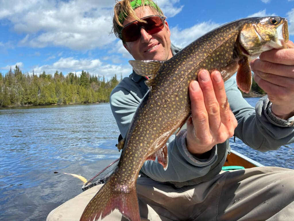
What’s more demoralizing to a wilderness canoe tripper than a 30-mph headwind? Facing a grueling 12-hour battle across the Boundary Waters, Chris Pascone pushes his limits to reach Ogishkemuncie Lake. Along the way, he discovers the power of camaraderie, and the fascinating secret behind Ogish’s famous “red-flesh” lake trout.
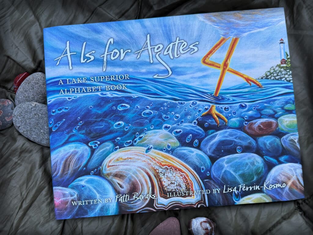
A love letter to Gitchi-Gami, and a lyrical new addition to northwoods children’s books. Created by two artists with deep roots in the Lake Superior region, the book celebrates the landscape, wildlife, and heritage surrounding the big lake.
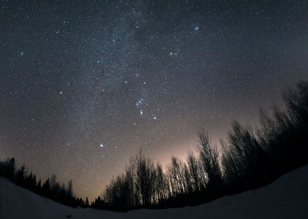
Experience Minnesota’s dark skies during International Dark Sky Week, April 13-20. Minnesota is home to two certified dark-sky sanctuaries – the BWCAW and Voyageurs National Park.
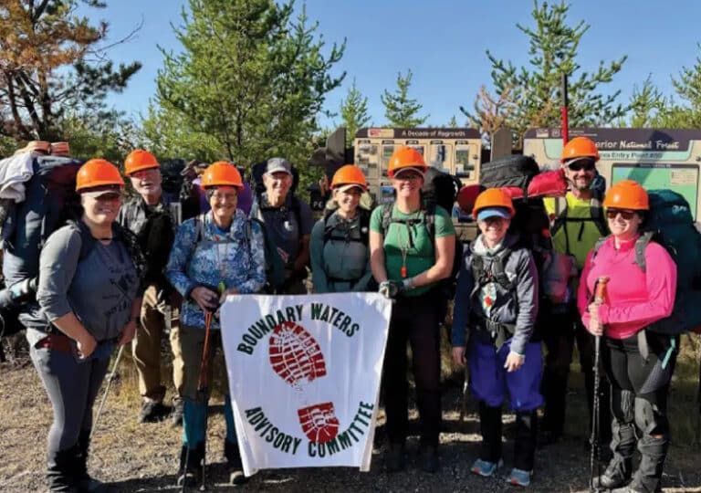
From the successful restoration of the fire-ravaged Powwow Trail to an ambitious new project rebuilding boardwalks on the popular Eagle Mountain Trail, BWAC volunteers are the boots on the ground keeping wilderness paths open. Crews paddle or hike in, and use traditional hand tools to clear deadfalls and protect the trail experience for thousands of hikers.
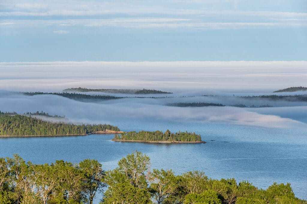
Three important parcels of land totaling 87 acres that originally belonged to the Grand Portage Band of Chippewa in northern Minnesota have been returned. The agreement was reached through a collaboration with the Lloyd K. Johnson Foundation and the Minnesota Land Trust. Although the land was lost through questionable actions, the Band sees this as a hopeful step towards restoration.
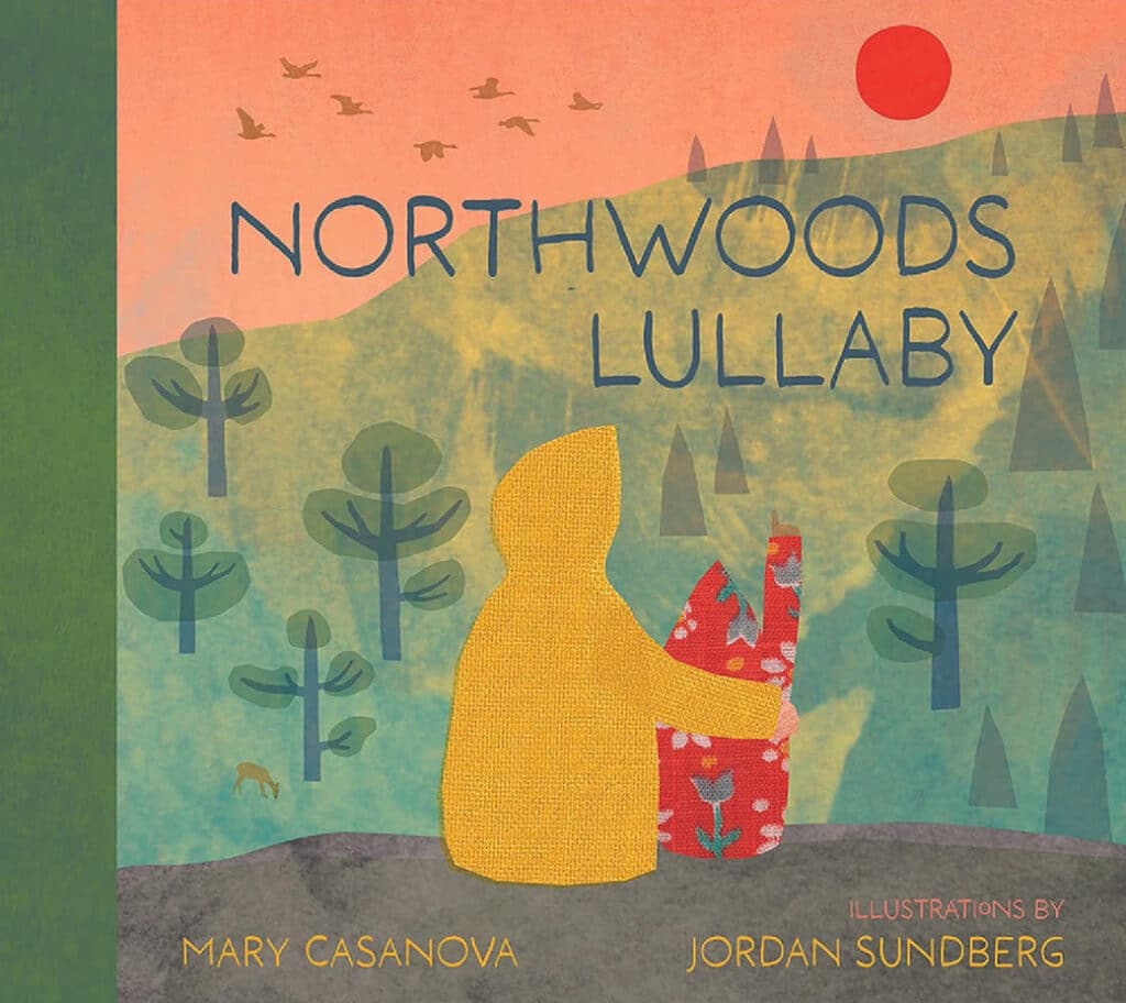
“We really are being welcomed into the hospitality of a community of earth, plants, and animals…” Step into the changing seasons with a new book by Mary Casanova and read our exclusive Q&A with Duluth artist Jordan Sundberg on finding inspiration in the forest.
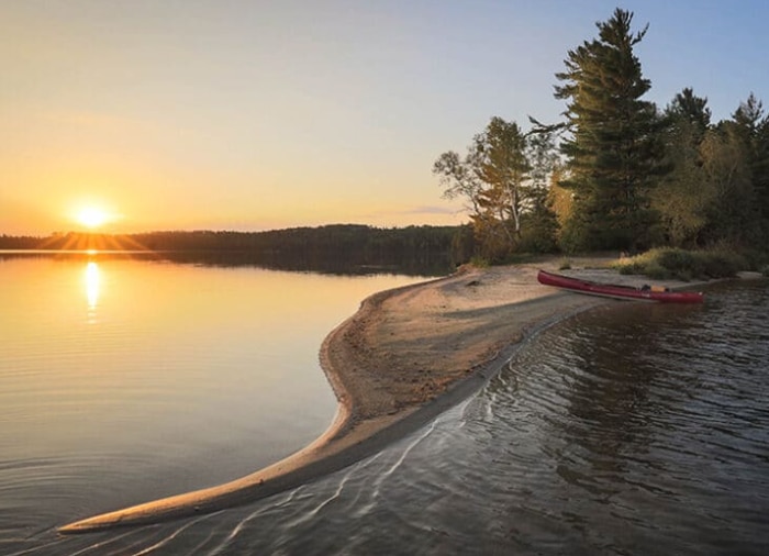
Most people think of Quetico as a paddler’s paradise with over 1 million acres to explore. But the land has played an important role in the lives of the Anishinabeg people for thousands of years, as they lived, hunted, and travelled in the region, and continue to do so.
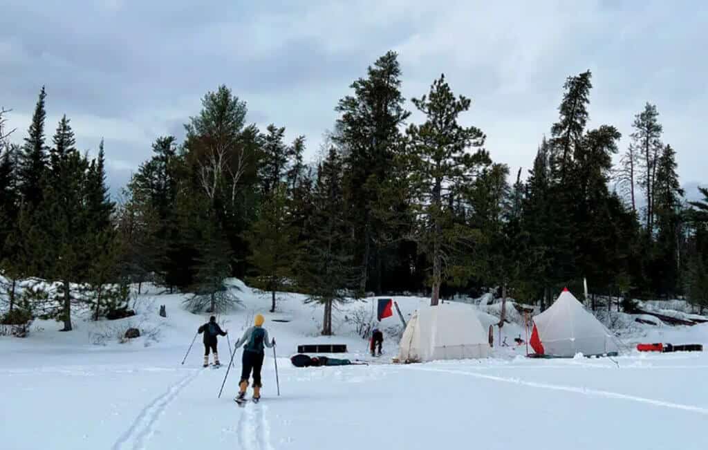
Minnesotans have become increasingly interested in winter camping, particularly in the BWCA. But, as in other seasons, it’s essential to minimize your impact and practice good etiquette. We’re sharing both written and unwritten guidelines to help everyone enjoy a positive experience while protecting the natural environment.
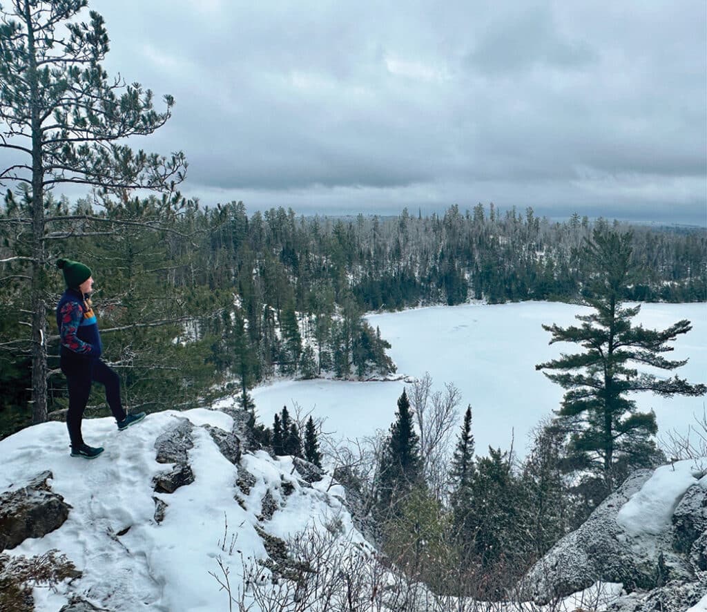
Ely has many great trail systems, some of which are especially fun in the winter. A favorite winter hike is the Secret Blackstone Trail. Located near Moose Lake, quiet trails loop around scenic lakes flanked by thick woods. It has a wilderness feel, though it’s not far from town. Here’s what you’ll need to know before you go.
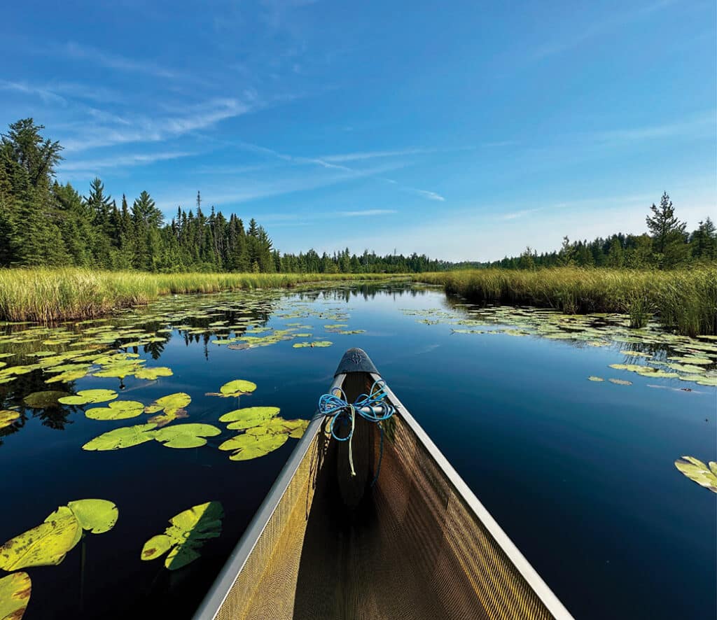
Permit reservations open on Jan 28. Planning a trip to the BWCA and not sure where to start? Here are a few tips to help plan your canoe trip and secure your permit so you can create memories that last a lifetime.

We’re revisiting our most-viewed posts of 2025! Throughout the year, we shared important updates on ongoing protection and preservation efforts in the Superior National Forest and Boundary Waters Canoe Area Wilderness. Popular stories highlighted conservation initiatives, revealed hidden spots to explore, and provided updates for crossing remote areas along the Minnesota–Canada border.
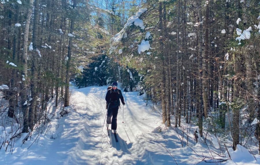
Once a network of logging roads, the Banadad Ski Trail has become a beloved winter route through the BWCAW. Groomed since the early 1980s and maintained by volunteers, the 27-kilometer trail connects skiers to both the region’s past and its quiet, snow-covered present.
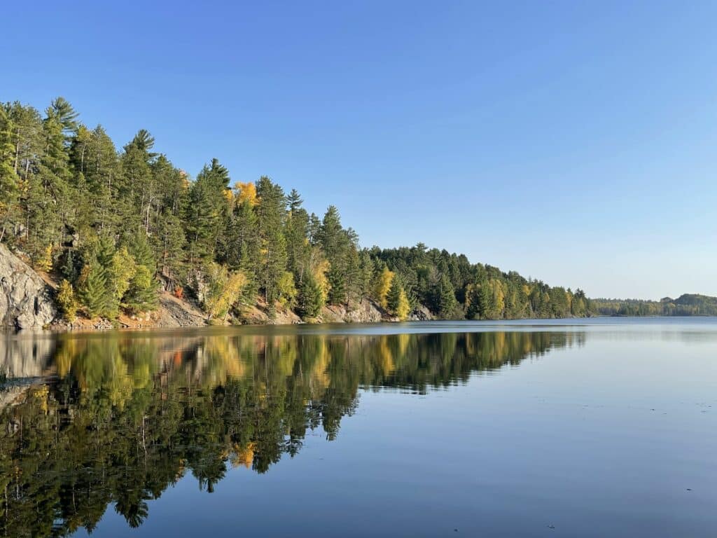
If giant ridges flanked with red and white pines towering over crystal-clear, undeveloped lakes sound like your happy place, make sure to visit the Bass Lake Trail. The elevation changes and rocky footing makes this rewarding for experienced hikers, while the varying route options make it accessible for families and those with less experience. Hike, snowshoe or paddle, for a true choose-your-own-adventure.
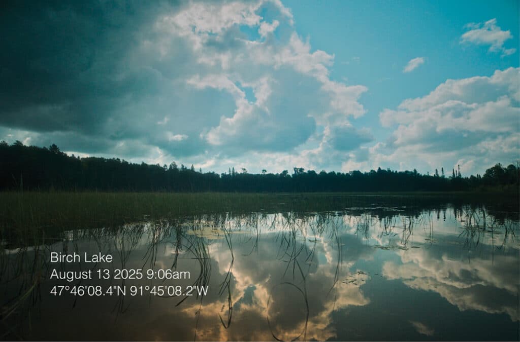
Cinematographer Alex Horner captures the wild beauty of watersheds near the proposed Twin Metals mine, just south of the Boundary Waters. His short films document what could be lost if copper-nickel mining reshapes one of Minnesota’s most pristine regions.
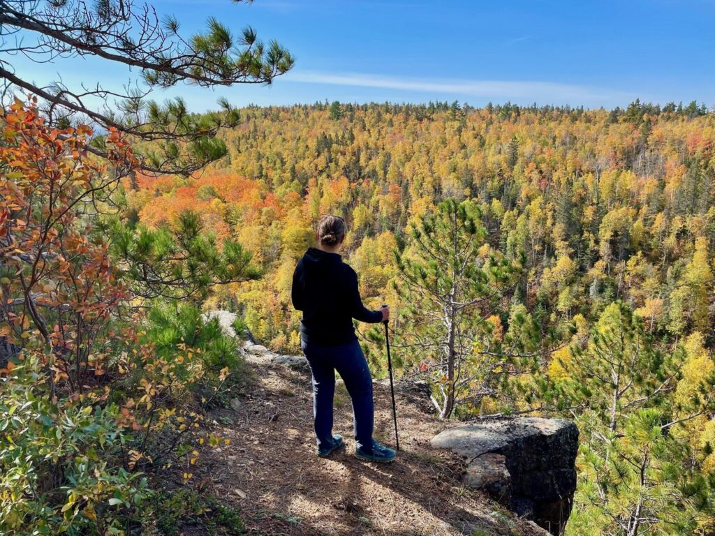
Hike to scenic vistas with fabulous foraging. Known as the Cove Point Loop, this six-mile lollipop loop section was built in 1996. While the trail begins across Highway 61 from the lodge, there’s no public parking on-site. Cove Point Lodge guests can walk across Highway 61 to access the trail. If you’re not staying at the lodge, consider these two alternative routes…