At that moment, it felt as though everything was right with the world. I sat in awe, taking in one of the most breathtaking sights I’d ever seen. It was one of those perfect moments when everything aligned to create an unforgettable once-in-a-lifetime experience.
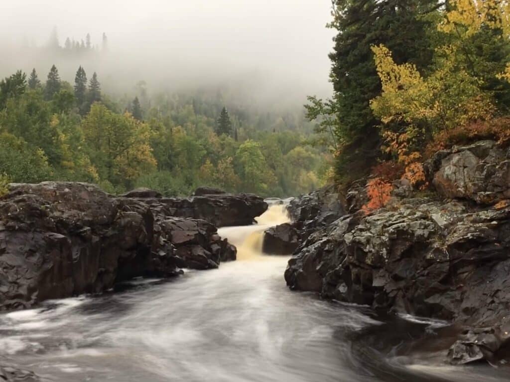
It was early in the morning on the fourth day of my first solo backpacking trip on the Superior Hiking Trail (SHT). My pants, socks, and shoes were soaked after two and a half days of nonstop rain. And every piece of gear I was carrying was wet, which made my pack extra heavy and uncomfortable. I was feeling a bit defeated and, at the same time, looking forward to the dry days ahead. I felt good about what I’d accomplished in a few short days, and I was grateful for the opportunity. And this moment was exactly what I needed to remind me that it was worth it and it gave me the push I needed to keep moving forward.
I sat there in reverence, listening to the roar of the waterfall while watching the low-lying fog drift overhead. The smell of fall was in the air as the first fall colors were starting to pop. I knew it was unlikely I’d ever see this moment exactly as it was ever again, so I allowed myself a little extra time to soak in nature’s perfect gift.
Throughout all of my years hiking and exploring Minnesota’s North Shore, I couldn’t believe I’d never stumbled upon this special spot. Since that morning, however, I’ve returned countless times. It’s one of my favorite short hikes, and I’ve shared it with many friends and their families. Although that first magical experience has yet to be replicated, each new experience has been special in its own unique way. Join me as we explore one of the Minnesota North Shore’s most underrated hikes in Temperance River State Park.
How to get there
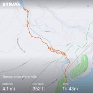
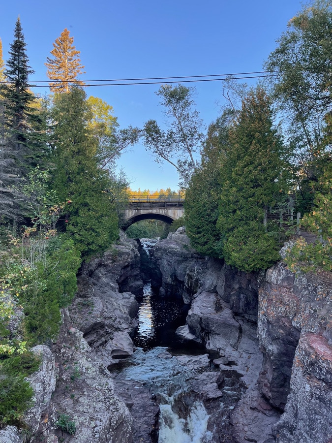
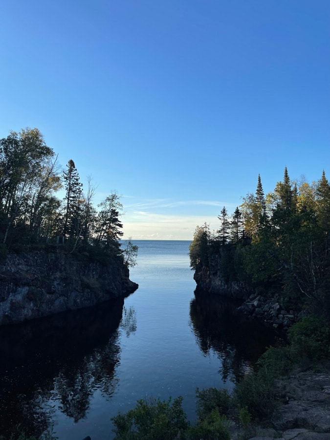
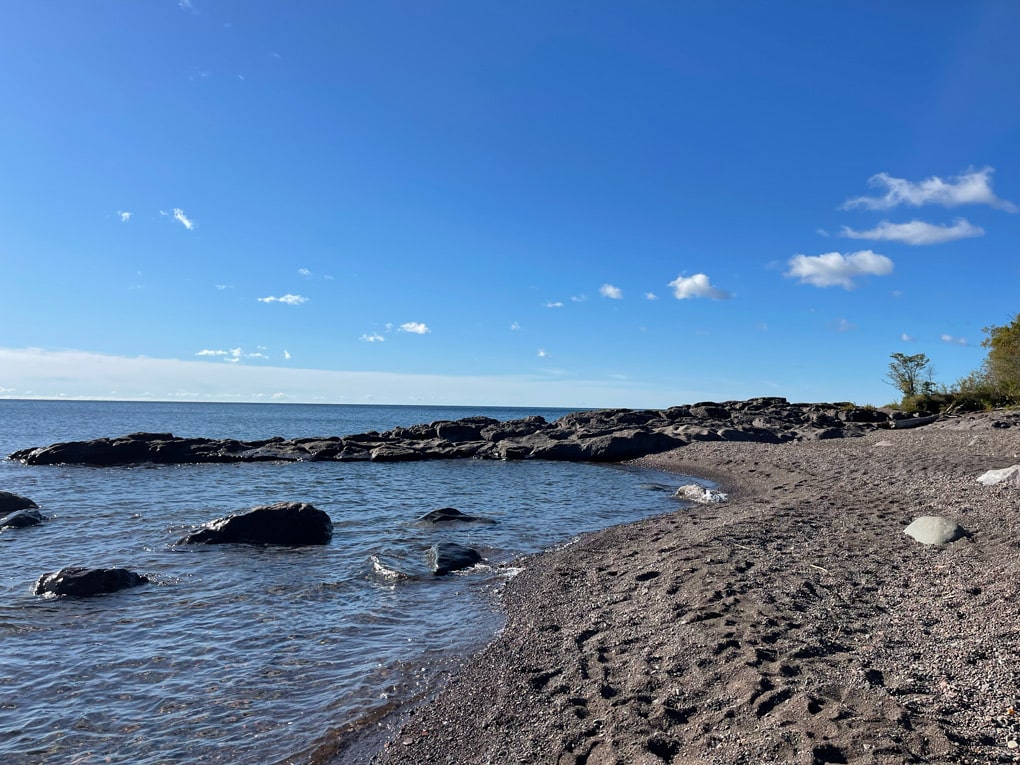
The trail begins just off Highway 61 along Minnesota’s breathtaking north shore of Lake Superior in Temperance River State Park. Temperance River is one of my favorite Minnesota state parks and is home to Carlton Peak, a section of the SHT, jaw-dropping Lake Superior beaches, and of course, the wild and rugged Temperance River. The highlight of the park is the deep and narrow Temperance River Gorge, with its many waterfalls and impressive potholes. You can catch a glimpse of the stunning river and its waterfalls just south of the parking area along Highway 61, but I urge you not to stop there.
After viewing the final set of Temperance River waterfalls that tumble into Lake Superior, head back up the stairs toward Highway 61. You’ll need to cross the highway to continue your hike. Use caution and the crosswalk. After you’re safely across, follow the paved trail to the east. A short walk will bring you to a viewing platform for hidden falls. An interpretive sign tells the story of these hidden falls. To get a closer look, follow the trail along the river to your right. From the hidden falls viewing platform, a magical rock stairway flanked by moss and giant cedars to your right will lead to even more magic and scenic vistas. Always use extra caution when these rocks are wet (or icy), as they can be quite slippery.
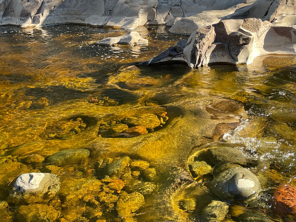
As you make your way upriver, be sure to stop at each overlook to observe some of Minnesota’s deepest and most impressive potholes. An interpretive sign near a viewing area explains how these potholes were formed. After you’ve marveled at nature’s unrelenting power, continue to follow the trail across the paved Gitchi-Gami State Trail. Continue your hike upstream, following the east side of the river. By now, you’ve likely discovered that each of the stone walls you’ve passed by has a jaw-dropping view. While you’re there, challenge yourself to take it all in with more than your eyes. Try to use all five senses. Listen to how the sound of the river changes as you hike upstream. Feel the warmth of the sun and cool Lake Superior breezes. Smell and taste the fresh spring air or warmth of fall. Take it all in, knowing that you’ll surely have a different experience the next time you visit.
Don’t skip the narrow wooden walkway you’ll pass by on your left. It might not look like much from the main trail, but trust that it will lead you to another stunning vista of the gorge and yet another waterfall. As you continue along the trail, a set of stairs will lead you down to more rugged falls. Continue to follow the trail along the river until you reach a wide set of waterfalls that seem a bit out of place compared to the steep and narrow waterfalls you just enjoyed. You’ll see these again from the other side of the river, where there are much better photo opportunities. As you continue upstream, you’ll notice how the river has become wider and rockier. If you’re tracking your mileage, this is about one mile in, depending on how much poking around you did at the overlooks. From here, you could continue toward Carlton Peak, but the better option for a day hike is to turn around and go back the way you came.
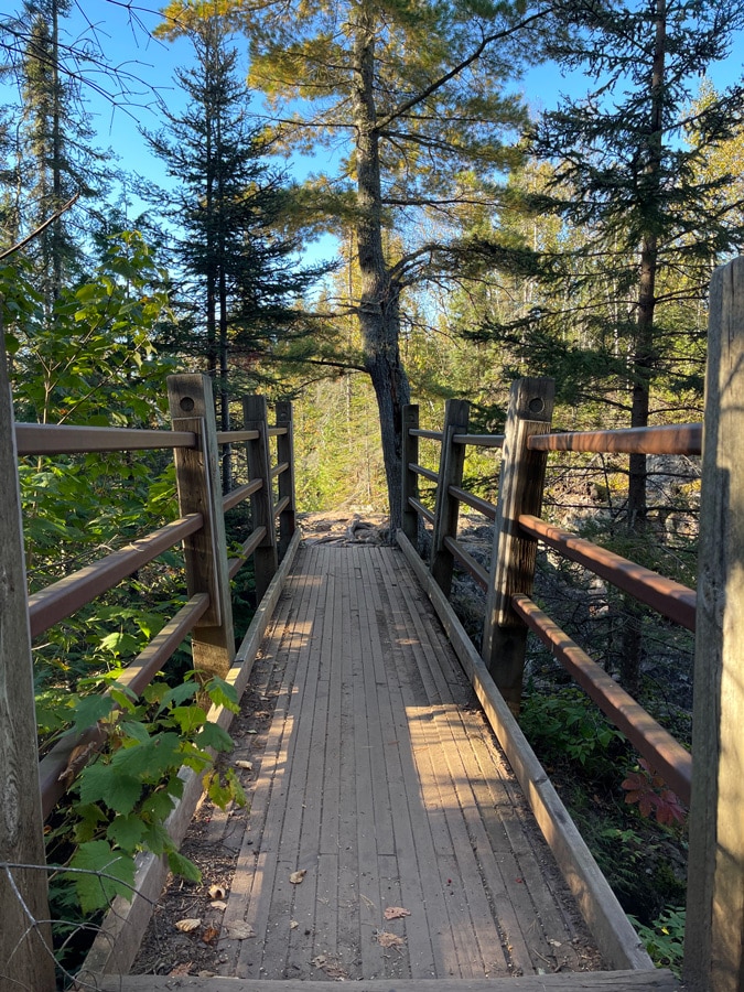
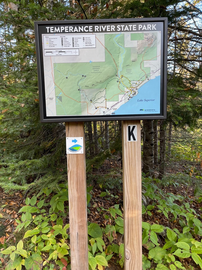
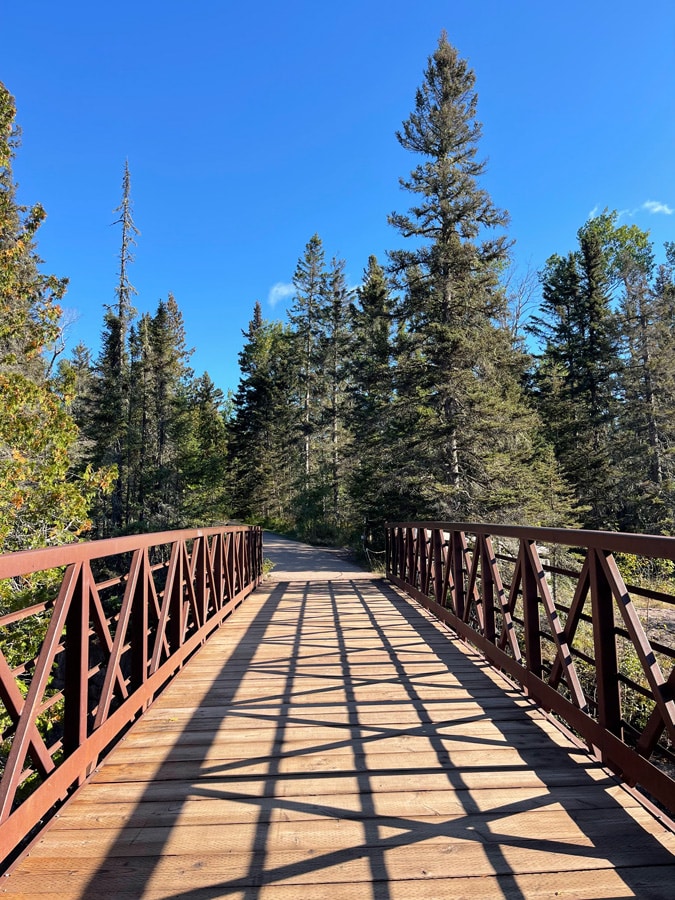
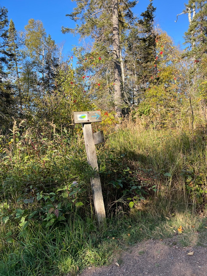
When you reach the Gitchi-Gami, rather than continuing back toward the parking area, turn right and cross the river. Immediately after crossing the bridge, you’ll see a sign for the SHT to your right. While you’re still in Temperance River State Park, you’re on the main SHT now. You’ll notice that the trail is marked with blue blazes—vertical blue lines painted on trees. While you’re in the park, you’ll have the added luxury of signs that note the junction you’re at on the map. These are a wonderful tool for learning to read maps and navigate and also great for teaching others. When you get to one labeled Junction K, take a right.
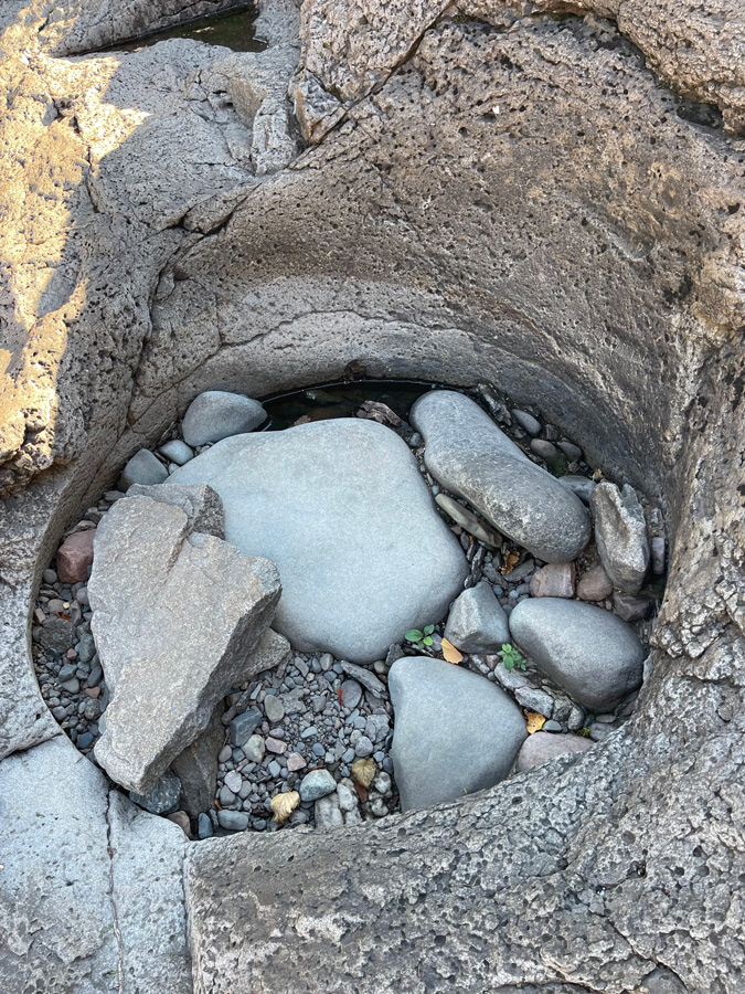
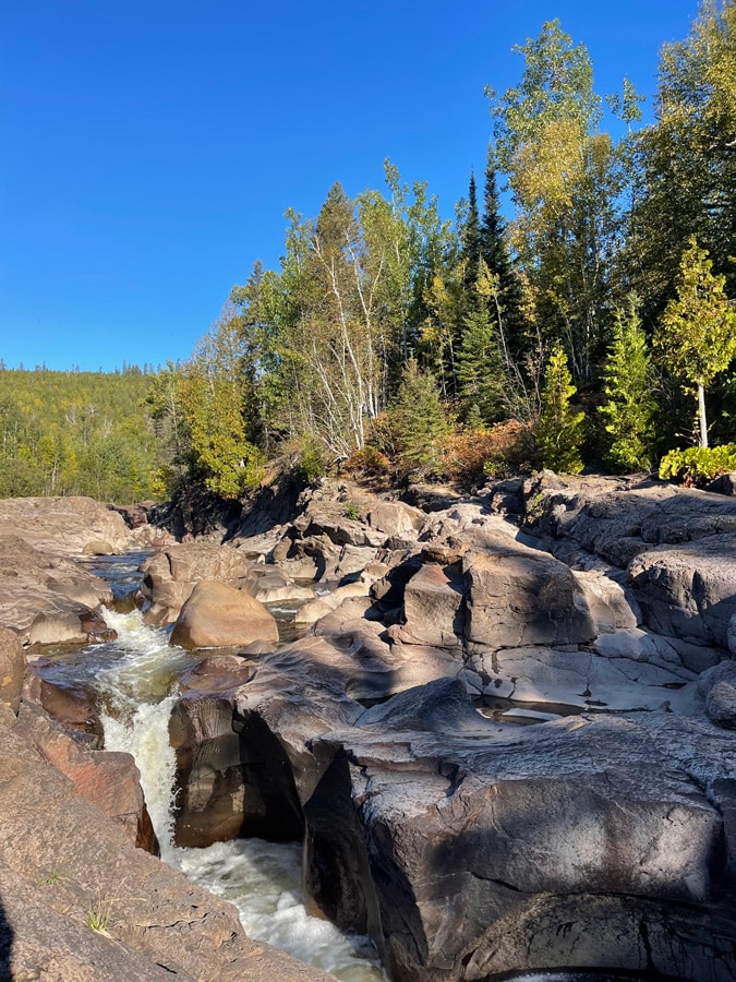
You’ll have logged about one and a half miles when you arrive back at the wide waterfall you saw 15 minutes earlier. If you hop off the trail and onto the rocks, you’ll find a wonderful spot to take a break and capture stunning photos. As you continue upstream, observe how the river changes from wide and rocky to deeper gorges again. When you hear the river roaring, this is your clue to hop off the trail and follow the rocks upstream. You’ll want to leave plenty of time during this hike to pause and admire more small waterfalls and impressive potholes. In the fall, or when the water level is low, this is a great spot to sneak a peek into baby potholes in the riverbed. Try to imagine the bowls taking shape as the snowmelt and spring rains turn this waterway into a raging torrent.
Continue to follow the river a bit further until you reach a two-tiered waterfall with a wide pool below. These are the falls I discovered that foggy fall morning so many years ago and are my favorite falls on the Temperance River. If you do this hike first thing in the morning, you’ll likely be rewarded with some well-earned solitude. Slow down and allow yourself time to enjoy it.
While you’re there, challenge yourself to take it all in. Listen to the sound of the river and how it changes. Look into the pothole pools to see what life has made that space its home. See how many plants and flowers you can find growing in the cracks of the rocks.
When it’s time, you’ll go back the way you came. Again, use the Gitchi-Gami State Trail bridge to cross the Temperance River and then take a right to follow the trail back to where you parked along Highway 61. Plan for the entire hike to be about four miles, and leave yourself at least two hours to complete it.
There are a lot of wonderful areas along this route to stop and enjoy a picnic lunch. There’s also an amazing beach and picnic area south of the parking area. Follow the west side of the river to get there. You’ll find vault toilets along this trail. The spring that has been the water source for this recreation area is currently unusable. Water is available at the park office, but I’ve made it a habit to always have a gallon or two on hand everywhere I go. Note that the parking is extremely limited, so if you’re able, I find it much easier to walk there than to drive.
Learn more
You can learn more about visiting Temperance River State Park and all of its offerings here. Maps of the park and the day-use area are available here in both PDF form that can be printed and in GeoPDF to use with a GeoPDF viewer, such as Avenza. If you have more time in the area and are up for three more miles on the trail, don’t miss Carlton Peak and Ted Tofte Overlook. You can learn about this must-see hike here.
Temperance River State Park is a jewel of Minnesota’s North Shore. While most visitors simply hop out of their vehicles to see the stunning area just off Highway 61, others know that more beauty and magic lie inland. So, the next time you find yourself traveling through the area, be sure to allow yourself some time to explore this breathtaking and underrated section of trail.

Holly Scherer is a Minnesota-based writer, photographer, outdoorswoman, and guide. She’s most at home in the great outdoors; camping, hiking, paddling, cycling, and gardening. When she’s not on an adventure, she and her husband live in the Twin Cities where they’re fond of saying, “home is where we store our outdoor gear.”

