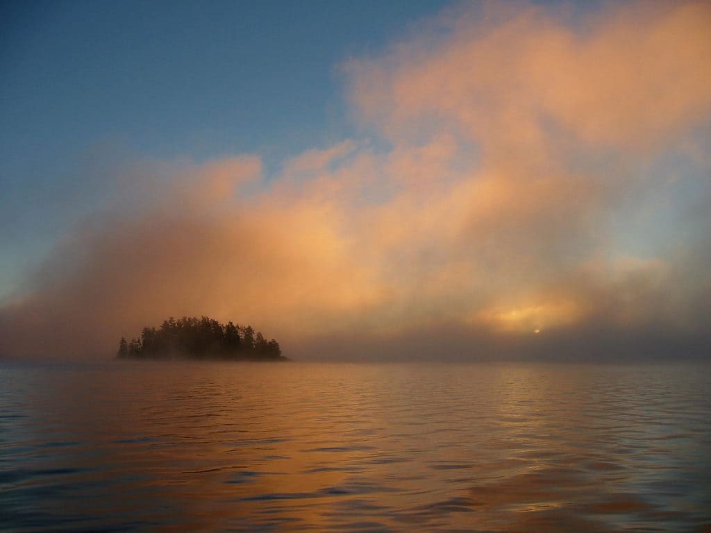
A plan for how Quetico Provincial Park will be managed for the next 20 years is currently open for public review. Located across the Canadian border from the Boundary Waters Canoe Area Wilderness, 1.1 million-acre Quetico receives about 18,000 visitors per year.
The product of 10 years of planning and discussions, the new management plan includes changes in the use of motorboats and airplanes by Lac La Croix fishing guides, and several other shifts in policy.
Keeping Quetico wild
Overall, though, the plan seeks to continue protecting the wilderness character of the park in much the same way it has been since the last version in 1995.
“Things like no signage in the backcountry and more rustic portage standards, we’re not changing,” says Quetico superintendent Trevor Gibb. “We understand that Quetico is a really special place… and it’s a very special canoe experience people have. The policies that enabled that in the past are largely carried forward in this new management plan.”
Comments will be accepted until July 4. The plan and commenting directions are available on the Government of Ontario’s website.
Gibb encourages United States citizens with an interest in the park to share their feedback. Because Quetico’s southern boundary adjoins the Boundary Waters, 83 percent of visitors in 2011 were from the US, with 60 percent of visits coming to the park through Minnesota’s wilderness.
First Nation partnership
The most significant change in this version is the involvement of the Lac La Croix First Nation, which neighbors the park on its southwest and is home to about 200 people. The park and the First Nation collaborated closely in the past two years on the plan.
In an introduction, Lac La Croix First Nation chief Norman Jordan said the plan was written “with the voice of” his people.
“We want to welcome all our park visitors to experience and share the park lands and all it has to offer as we have been doing since the beginning,” Jordan writes. “These are indeed great and majestic lands, full of life, freedom and wonders. It is our serene and powerful home that we protect and share. The people of Lac La Croix open their hearts and spirits for the visitors of Quetico Park to enjoy everything the park offers as our ancestors did.”
Jordan also remembers the harm the park has done to indigenous people in the past. When Quetico was formed in 1909, it surrounded Reserve 24C, the Sturgeon Lake band’s home. The reserve was subsequently “cancelled” by the provincial government, taken from them without compensation. The province formally apologized for the actions in 1991.
Motor use changes
Today, Lac La Croix First Nation remains closely connected to the landscape of Quetico and the surrounding region. Its members exercise their treaty rights in several ways, including the use motorized transportation for the purpose of guiding fishing trips in the park.
“Treaty rights in Canada and Ontario supersede anything in any direction in a park management plan,” Gibb says. “In my mind there is no conflict between practice of treaty rights and the maintenance of the wilderness aesthetic and the wilderness experience. Some cooperation and balancing happens with motorized guiding in the park, because that’s one area where use of the park by Lac La Croix First Nation guides isn’t compatible with every canoeist’s view of what the Quetico wilderness is.”
The use of motors by Lac La Croix guides will be much more limited in the future, after the park and First Nation worked together to cut in half the list of lakes available for motor use.
In the last management plan, the guides had selected 20 lakes in the park that were available for motorized guiding, picking 10 each year. Motors are limited to 10 horsepower. By working together, the park and the First Nation have now reduced the list to nine lakes concentrated on the west end of the park: Beaverhouse, Quetico, Cirrus, Jean, Wolseley, Tanner, Poobah, Minn and McAree.
Aircraft that First Nations guides use can land on Beaverhouse and one of three other lakes that will be chosen each year: Cirrus, Jean, and Poobah Lakes. Motorboats and airplanes were not previously allowed on Jean Lake.
Other highlights
Some unpopular proposals in earlier versions of the plan have been dropped, including a less-restrictive “threshold wilderness zone” around French Lake, which would have allowed more intensive management and use, and a long-distance hiking trail, according to the Atikokan Progress.
With more than half of Quetico’s visitors coming from the American border, the park is also seeking to increase entry from the north side. Gibb says that effort will primarily be a marketing and education campaign, seeking to balance out use across the park.
There is also a greater shift in managing natural resources to recognize the shifting, dynamic ecosystem. As Gibb points out, Quetico does not exist as a “snapshot in time.” The new management philosophy “relates to our ability to be adaptive and manage ecosystems in the park in the face of a changing climate and other changes. The park’s environment isn’t static, and things impacting the park’s environment aren’t static.”
Two new areas have been identified as special nature reserve zones, where only scientific, educational and interpretive use is allowed.
One of the new zones is 12,000 acres of the Wawaig River floodplain, which boasts plant diversity “perhaps greater than anywhere else in Quetico, with many southern and western species present.” Numerous rare species, and plant communities usually found much farther south, are found there.
The other is a number of unique cliffs on Blackstone, Other Man, Ottertrack, This Man, Littlerock, Emerald, Fisher, and Sheridan lakes and on a tributary of the Wawiag River. The cliffs contain several plant species that have persisted in isolation since the last glaciers receded about 8,000 years ago.

