

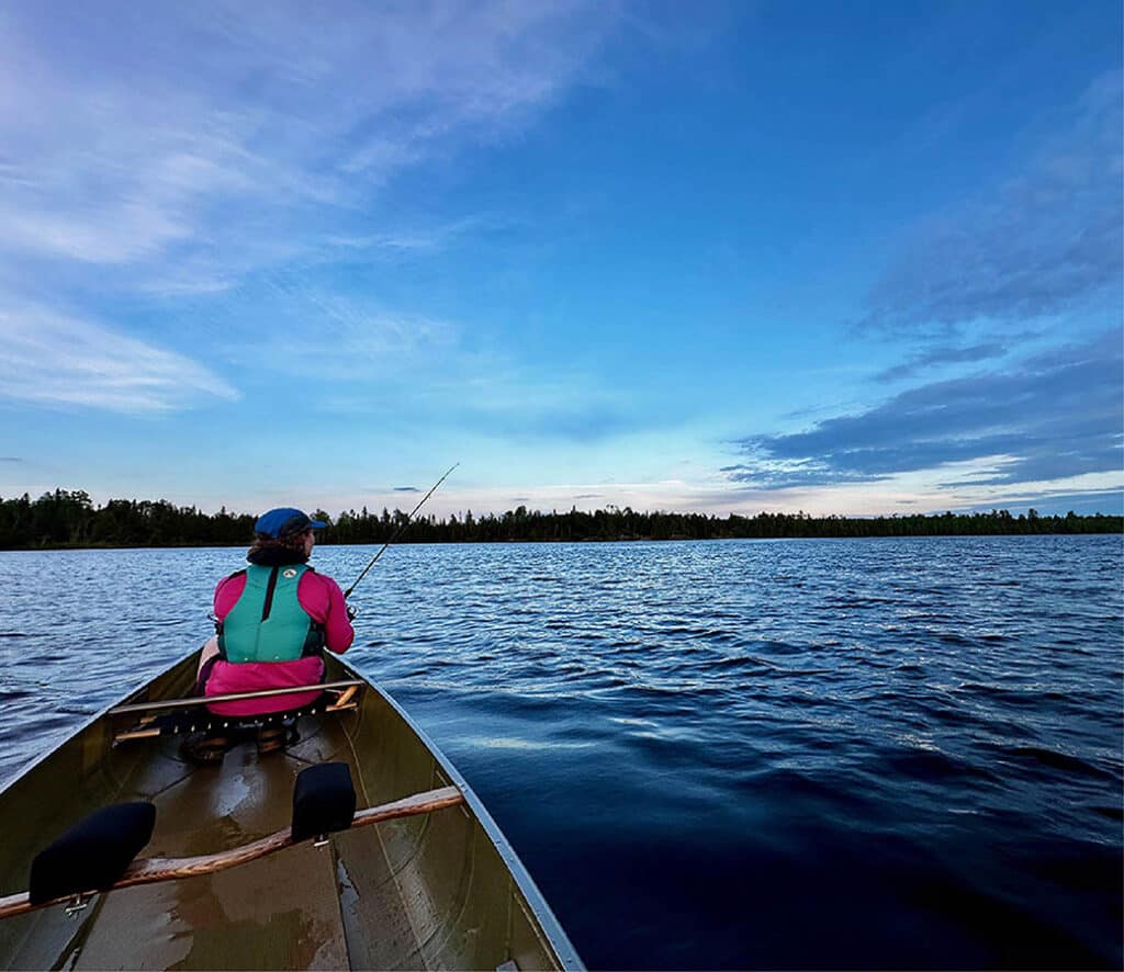
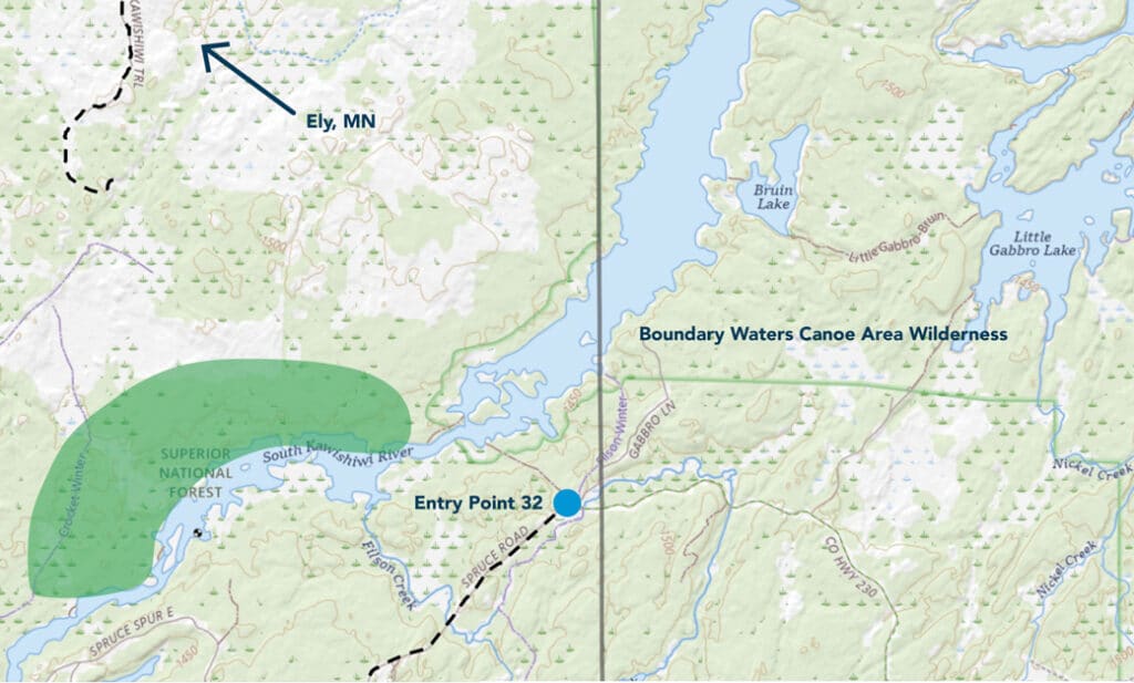
Friends of the Boundary Waters Wilderness recently purchased 361 acres of land along the South Kawishiwi River. This scenic river borders the Boundary Waters Canoe Area Wilderness and is considered one of America’s most endangered rivers. The environmental organization purchased the land for conservation and public use. Chris Knopf, Executive Director of Friends, told the Ely Echo, “We see this as expanding the Boundary Waters. By preserving this property, we are essentially enlarging the wilderness and making more land available for public use and enjoyment.”
Protecting against development
This latest acquisition marks the second time the Friends have purchased land to safeguard it. Last year, the organization obtained 80 acres and 3,500 feet of lakeshore on Snowbank Lake, east of Ely. However, due to funding and congressional approval, the Forest Service has been unable to accept the parcels. As a result, the Friends will be indefinitely responsible for property ownership and taxes. Without protection, these lands face the risk of development.
The Friends have collaborated with conservation groups Trust for Public Land and Nature Conservancy in the past to acquire private tracts adjacent to the BWCAW. They held onto these lands until the Forest Service could integrate them into the official wilderness, as reported in the Duluth News Tribune.
Stewardship for the future
Conservation groups warn that mining impacts threaten the South Kawishiwi. Five miles south of the wilderness boundary, mining interests have applied for leases. Birch Lake and Kawishiwi watersheds are near potential copper-nickel mining sites. Currently, there is a ban on mining near the wilderness. However, lawmakers are pushing to lift the 20-year ban on mining near the BWCAW.
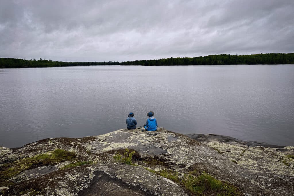
Encompassing nearly a million acres, the BWCA Wilderness is one of the country’s premier canoeing destinations and attracts hundreds of thousands of visitors annually. There are roughly 1,200 miles of canoe routes, approximately 2,000 designated campsites and 11 backcountry hiking trails.
With this newly protected parcel, wilderness users, including hunters, will have access to the land. This includes an off-road trail that has existed on the property for decades.
More info:
- Friends acquire 361 acres along South Kawishiwi River – The Ely Echo
- Boundary Waters advocacy group buying land next to wilderness – Duluth News Tribune
- Toxic Sulfide Mining Near the BWCA – Friends of the Boundary Waters Wilderness
Wilderness guide and outdoorswoman Pam Wright has been exploring wild places since her youth. Remaining curious, she has navigated remote lakes in Canada by canoe, backpacked some of the highest mountains in the Sierra Nevada, and completed a thru-hike of the Superior Hiking Trail. Her professional roles include working as a wilderness guide in northern Minnesota and providing online education for outdoor enthusiasts.