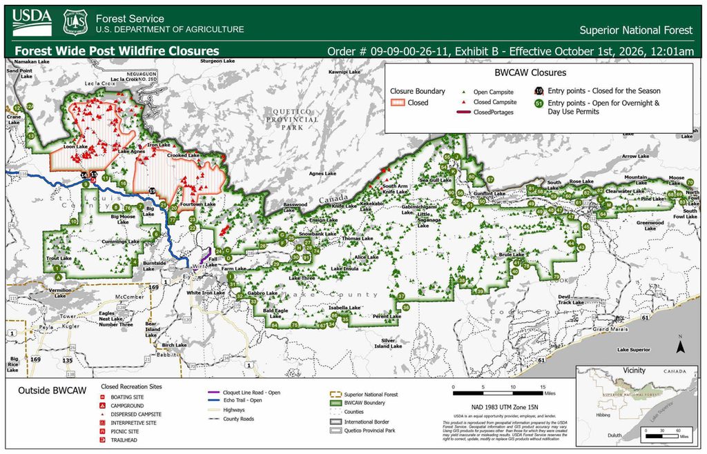
Boundary Waters Canoe Area Wilderness entry points post-wildfire closure updates
The Forest Service says it has now opened over 73% of the one-million-acre BWCAW. Phase 10 brings the total to more than 1,600 of campsites reopened.


The Forest Service says it has now opened over 73% of the one-million-acre BWCAW. Phase 10 brings the total to more than 1,600 of campsites reopened.
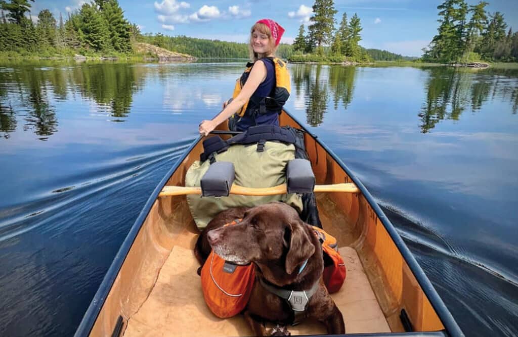
Bringing your dog to the Boundary Waters? Dogs are a fairly common sight in the BWCAW. You may see them nestled in the middle of packs, or on a portage trail carrying a dog pack…
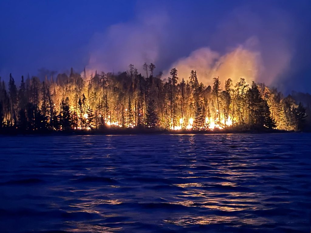
A lightning storm on July 6 sparked more than 25 wildfires across the Superior National Forest, prompting a full BWCAW closure and evacuations in three counties. All fires are now reported as 100% contained.
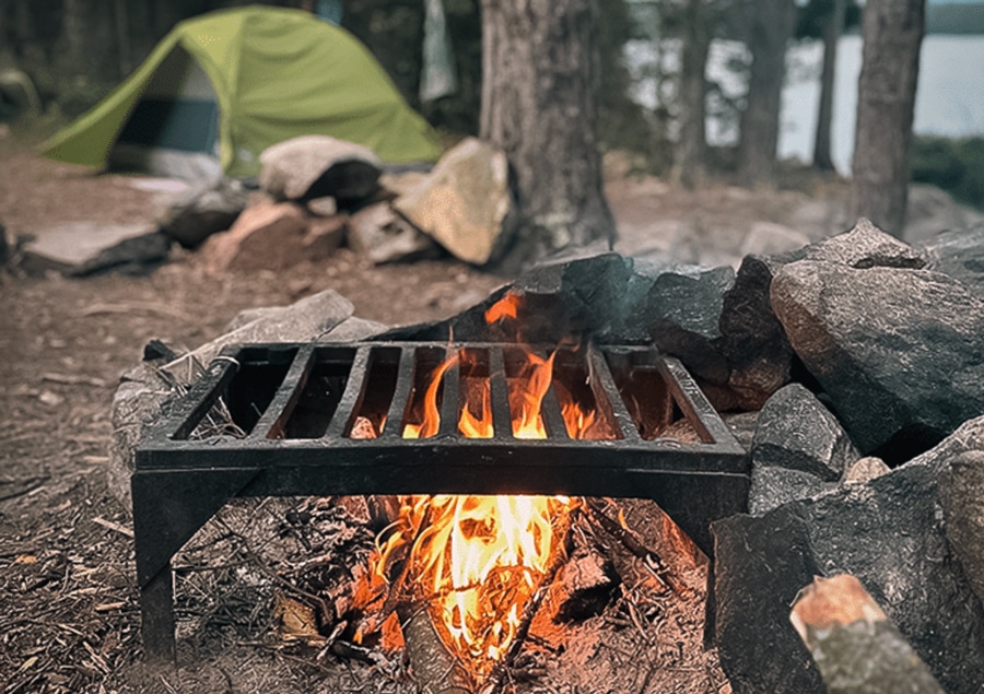
Burning restrictions have been removed across the entire three-million-acre Superior National Forest, including the BWCAW, effective August 24, the forest announced this week…
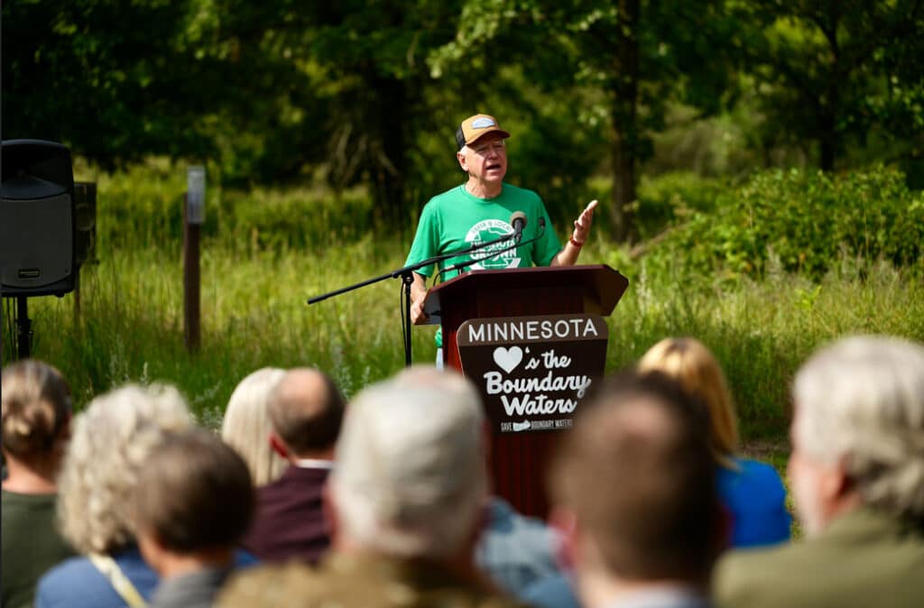
Gov. Tim Walz’s Aug. 18 executive order directs Minnesota DNR and Minnesota Pollution Control Agency to stop permitting and environmental review work on nonferrous mining in the Rainy River Headwaters Watershed. In Ely that day, Walz also proclaimed Aug. 18 “Save the Boundary Waters Day.”
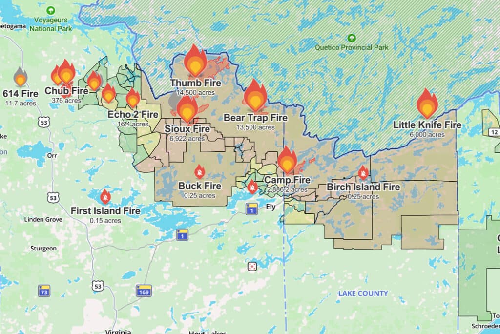
The Forest Service lifted closure of Trails End Campground on July 29. Recent rain has moderated fire activity, officials said, the Little Knife Fire area is reopening….
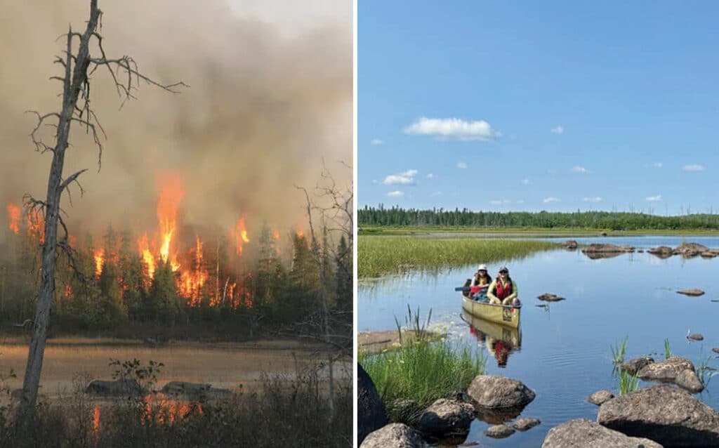
Fifteen years ago, the Pagami Creek Fire burned more than 90,000 acres of the Boundary Waters — the largest wildfire Minnesota had seen in nearly a century. Wilderness guide Pam Wright paddled back into the heart of it this summer, days after the area reopened, and found a landscape regenerating…
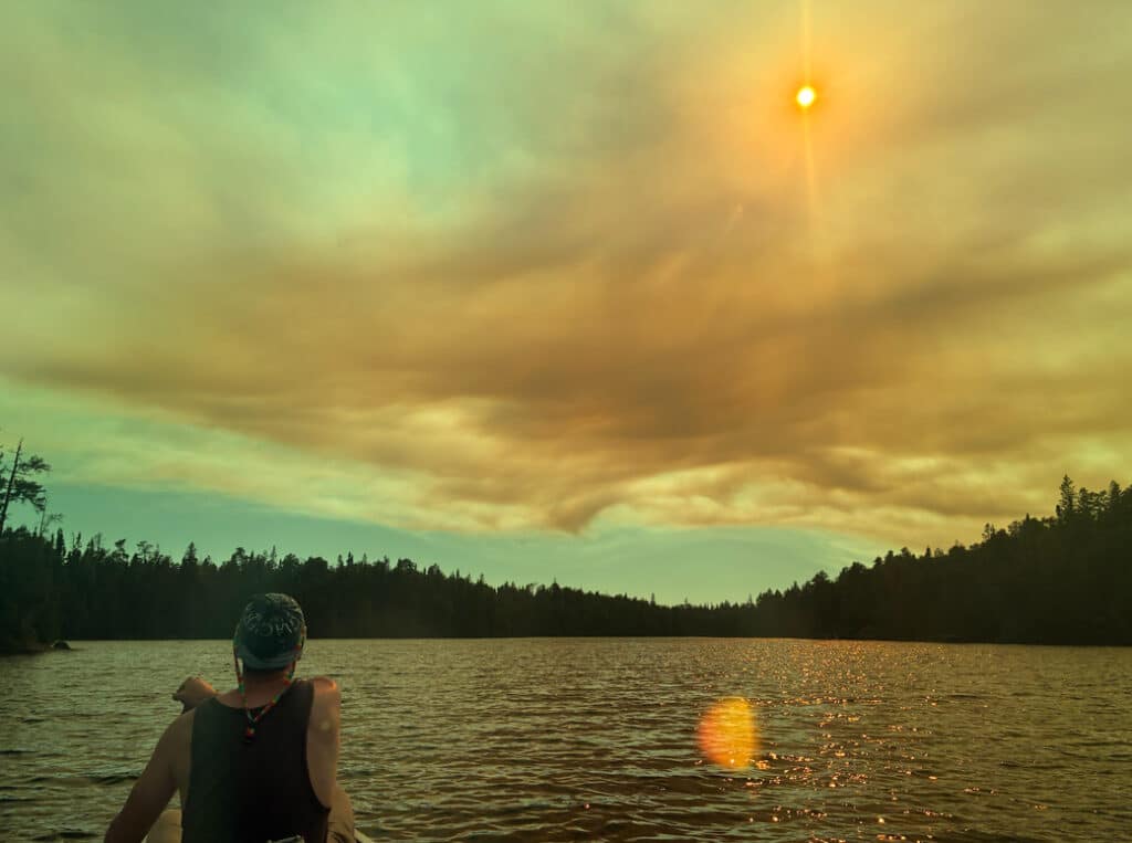
Their Boundary Waters trip started with mosquitoes, unusually warm weather, and rugged portages. “Little did we know, those trials by fire were going to be just stick kindling compared to the real fires ahead…”
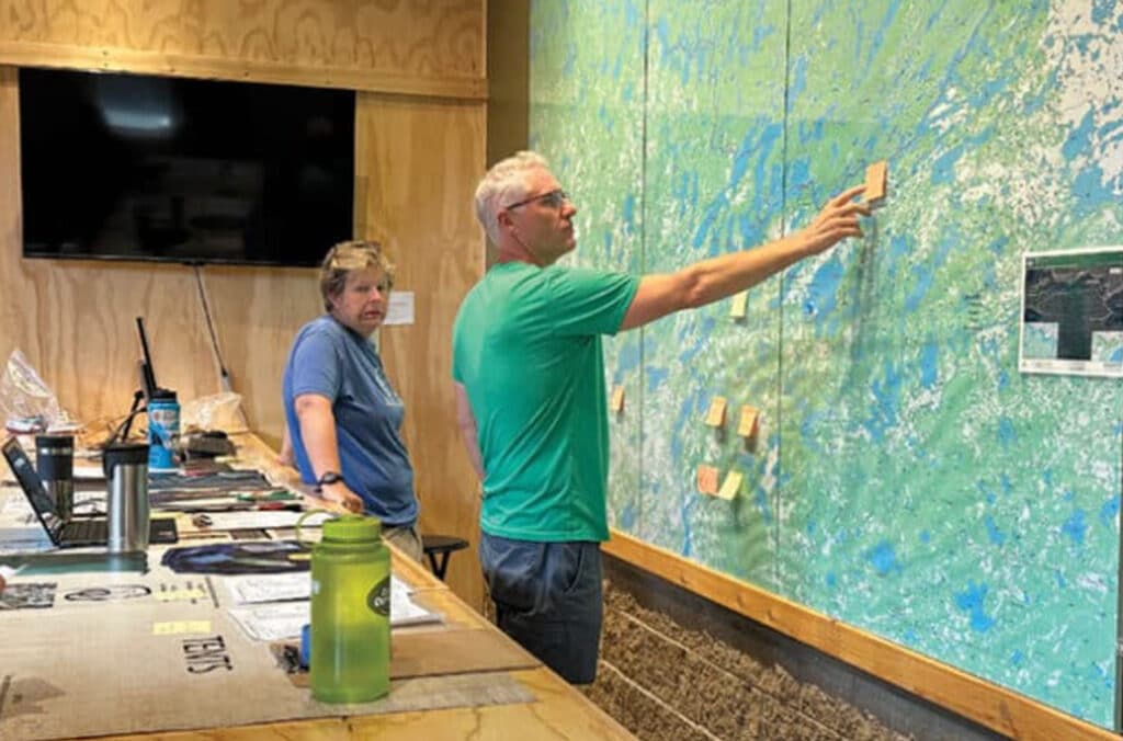
With the entire Boundary Waters closed and no reopening date announced, outfitters on both sides of the wilderness are scrambling — canceling and rerouting trips, fielding calls from visitors who flew in from across the country, and hoping the next few days bring better news.
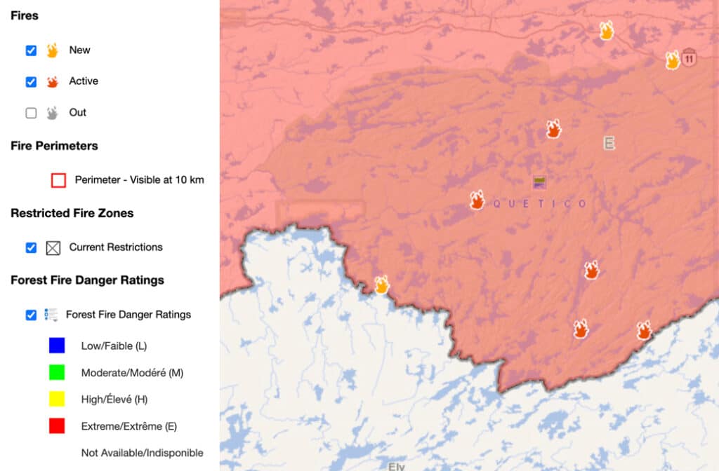
Quetico Provincial Park has closed Dawson Trail Campground due to nearby forest fire activity, according to the park’s alerts page. All backcountry entry stations are also closed.
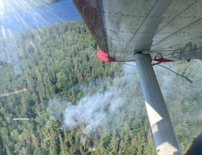
A small wildfire detected in the Boundary Waters Canoe Area Wilderness last week is now fully contained, the Superior National Forest said in its final update on the fire July 5.
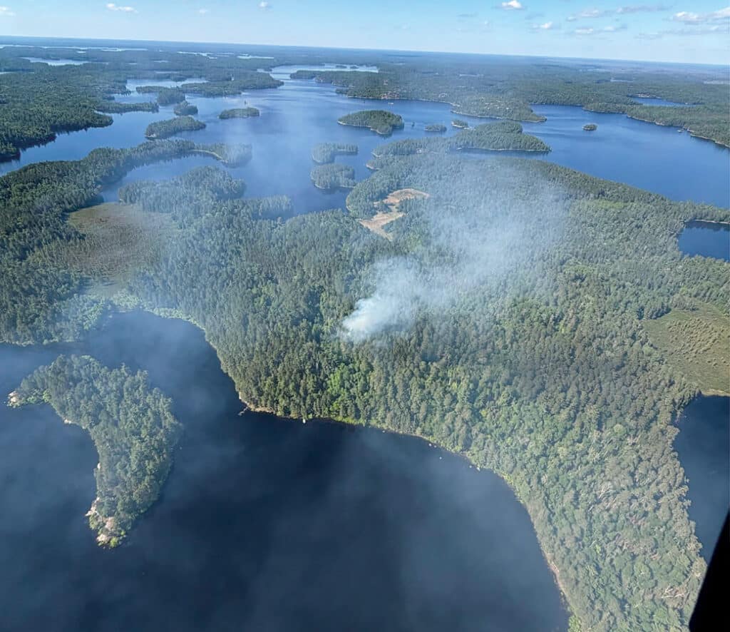
Three new wildfires ignited in the BWCA due to storms that passed through the area on Thursday, June 4. The Superior National Forest said that crews have been working on management and suppression techniques. The wilderness campfire ban will remain in effect through June 30.
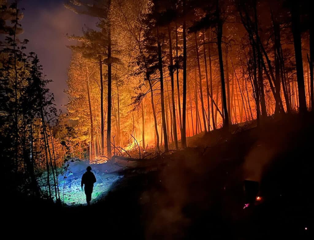
A wildfire broke out on the afternoon of June 1 near Burntside Lake. Driven by hot, dry conditions and light southeast winds, it spread quickly to an estimated 30 acres by evening.
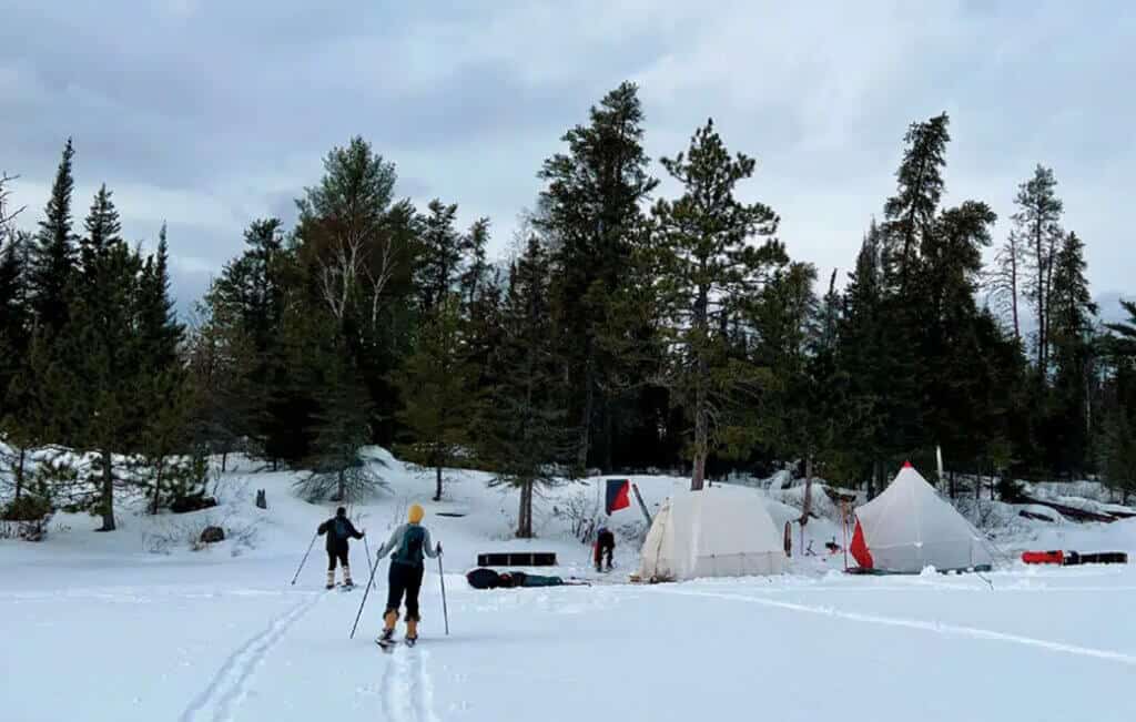
Minnesotans have become increasingly interested in winter camping, particularly in the BWCA. But, as in other seasons, it’s essential to minimize your impact and practice good etiquette. We’re sharing both written and unwritten guidelines to help everyone enjoy a positive experience while protecting the natural environment.
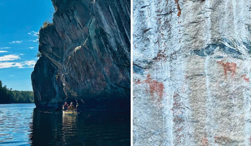
Just north of Lower Basswood Falls in the BWCA, a striking set of pictographs appears on a granite wall, one of at least forty sites scattered across the wilderness. These culturally significant images connect deeply to the history of the Anishinaabe people, who regard this land as sacred.
A federal judge has ruled in favor of the U.S. Forest Service in a lawsuit over motorized towboat use in the Boundary Waters, bringing a resolution to the legal challenge filed …
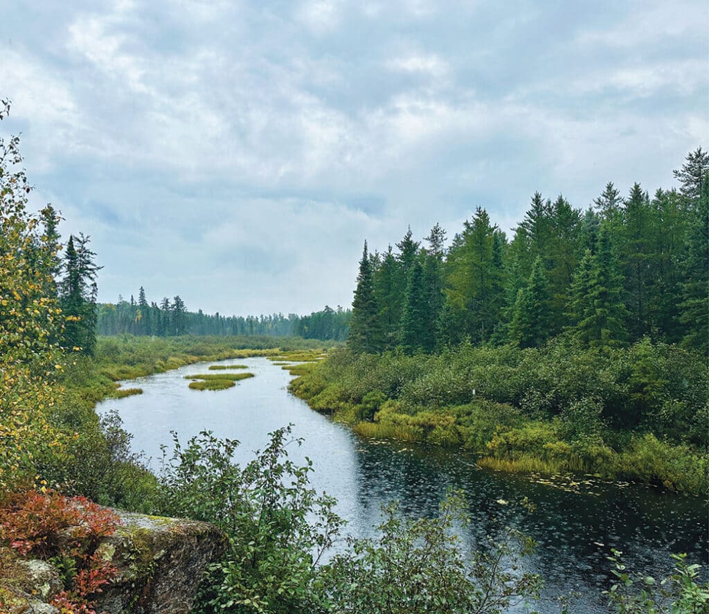
U.S. Agriculture Secretary Brooke L. Rollins recently announced plans to withdraw the 2001 Roadless Area Conservation Rule, which protects 59 million acres of National Forest from new roads and timber harvests. In Minnesota, many of these areas border the BWCA. If implemented, the change could significantly affect how parts of the National Forest are managed.
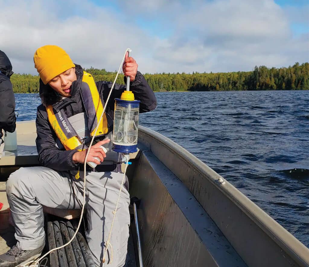
Blue-green algae is spreading in BWCAW lakes. A $1.3 million grant will be used to study its impact. While visitors should assess their own risk, the researchers also provide tips to help limit exposure.
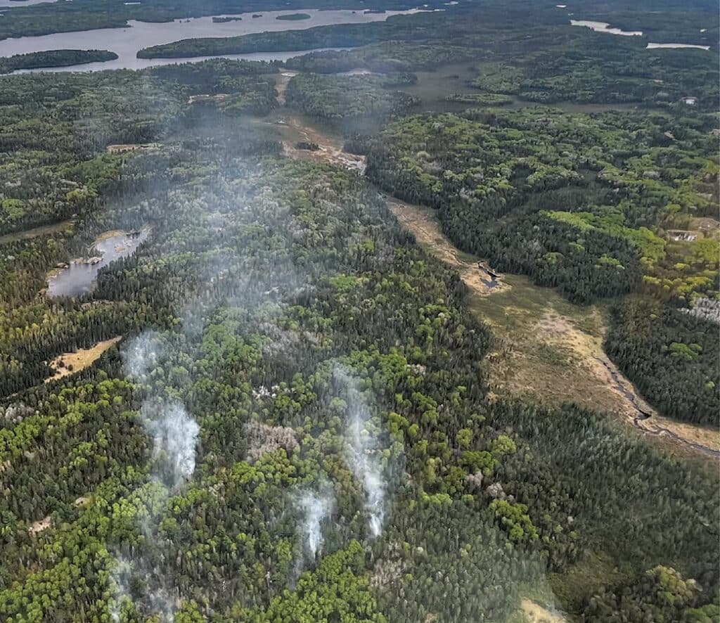
A lightning strike sparked a wildfire near the Horse River in the Boundary Waters Canoe Area Wilderness. This comes after an active wildfire season has scorched nearly 30,000 acres in the Superior National Forest this year. The Forest Service has issued a closure order for the route along the Dog Sled Portage and has encouraged visitors to avoid the area.
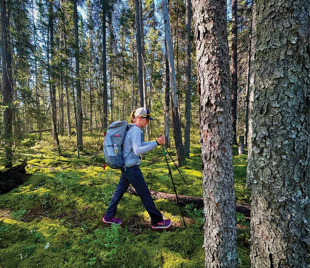
Tucked deep within Minnesota’s Boundary Waters Canoe Area Wilderness, just miles from the Canadian border, the Sioux-Hustler Hiking Trail offers a truly remote experience. This 32-mile loop winds through rugged boreal forest, quiet lakes, and historic logging paths, giving hikers a rare opportunity to experience true solitude. Learn more about the experience and tips for planning your adventure.