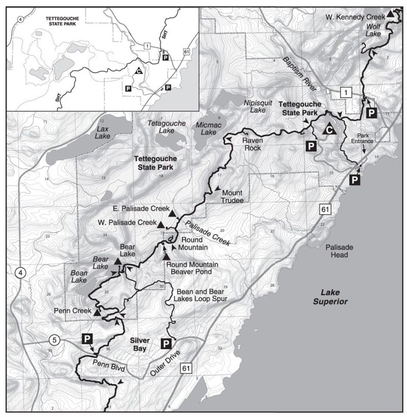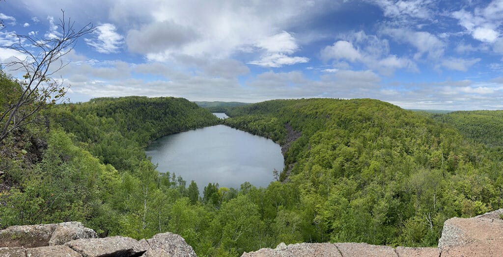
“Excuse me, ma’am, can I ask you a question?” a girl from the group of a dozen 20-somethings panted. “Sure,” I responded with a smile. It felt like just yesterday that I was attempting to hike to Bean and Bear Lakes for the first time with only a water bottle and worn-out shoes. “How much further is it?” she asked. Again, I smiled and asked, “You guys know this loop is about seven miles, right?” “Seven miles?” she asked, shouting so the rest of the group could hear. Having been in their exact position many years before, I smiled at their collective groan. “Well, how far are we?” she asked. “Probably about two miles,” I responded. Another collective groan and then she thanked me and they continued on.
I loved this short interaction I had recently because I know that all of us have been in a situation where we were underprepared and felt like we were in over our heads. These situations have always been wonderful learning experiences for me that made great stories years later. It also brought back memories of how much easier this hike felt when I was younger.
It had been five years since I hiked the Twin Lakes Loop Trail—commonly referred to as Bean and Bear Lakes—on the Superior Hiking Trail (SHT) just outside of Silver Bay. In 2019 I hiked through the area backpacking. But recent articles about our early days in the outdoors had me feeling nostalgic so I decided it would be fun to give this hike another shot.
What you should know before hiking to Bean and Bear Lakes
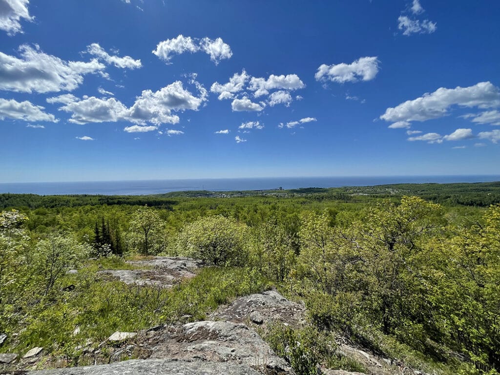
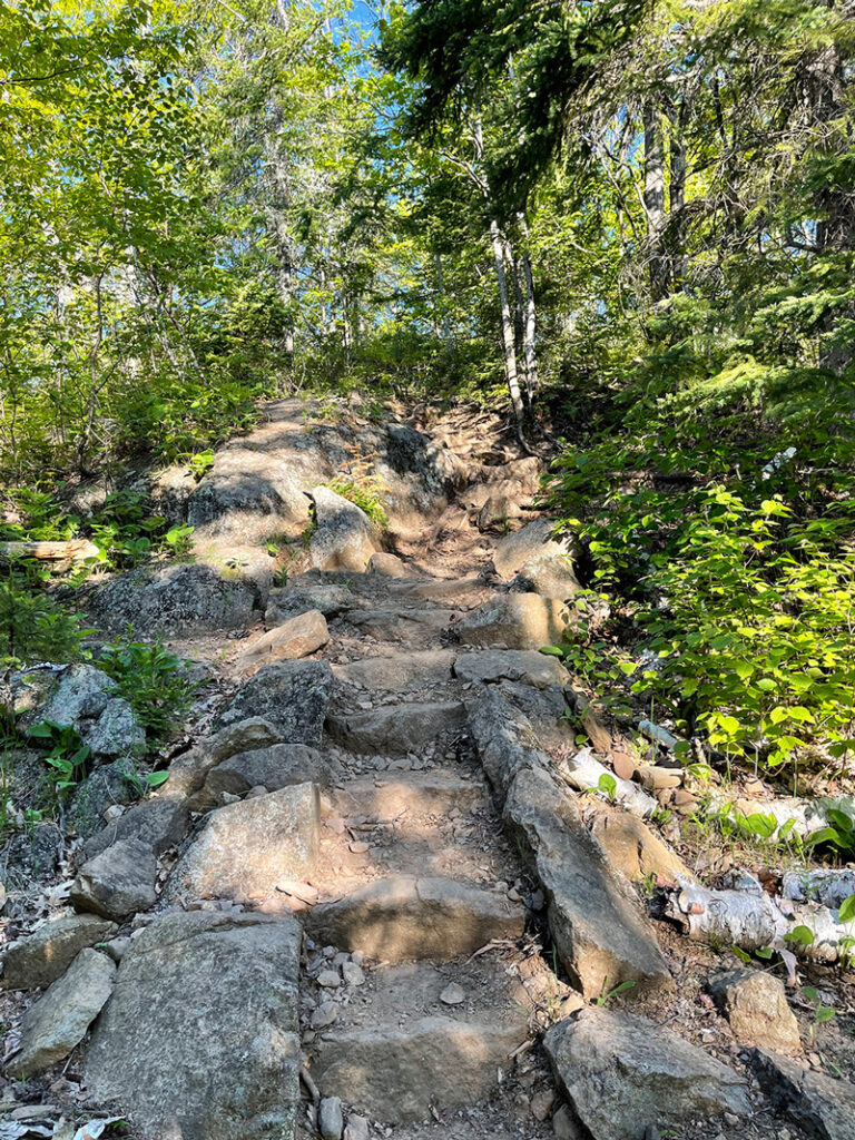
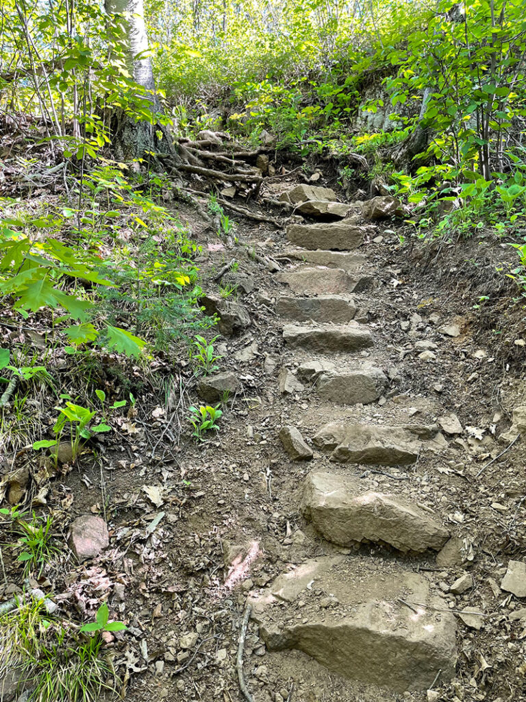
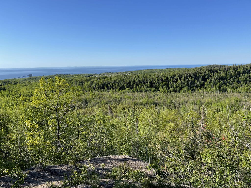
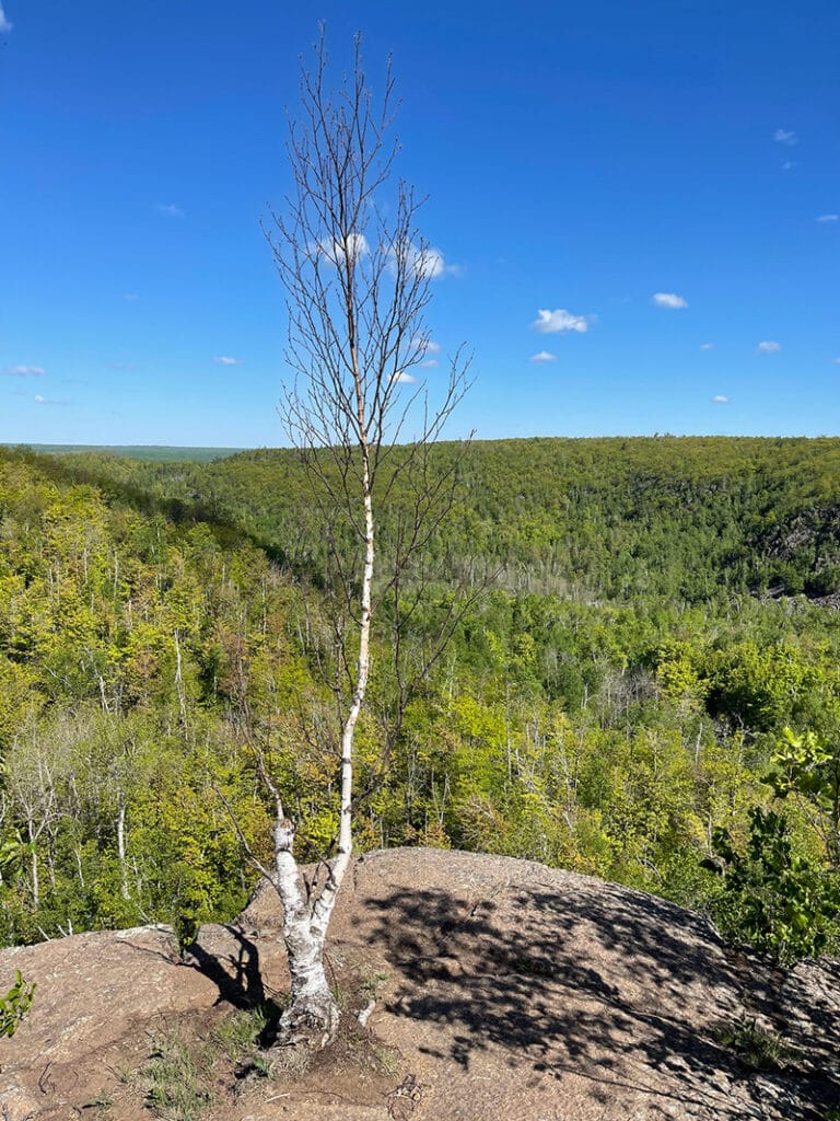
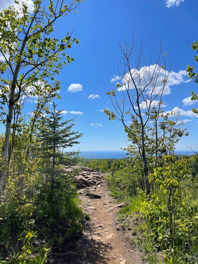
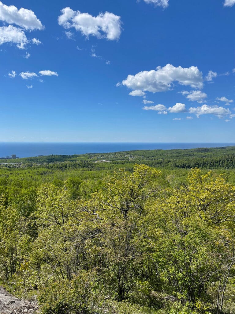
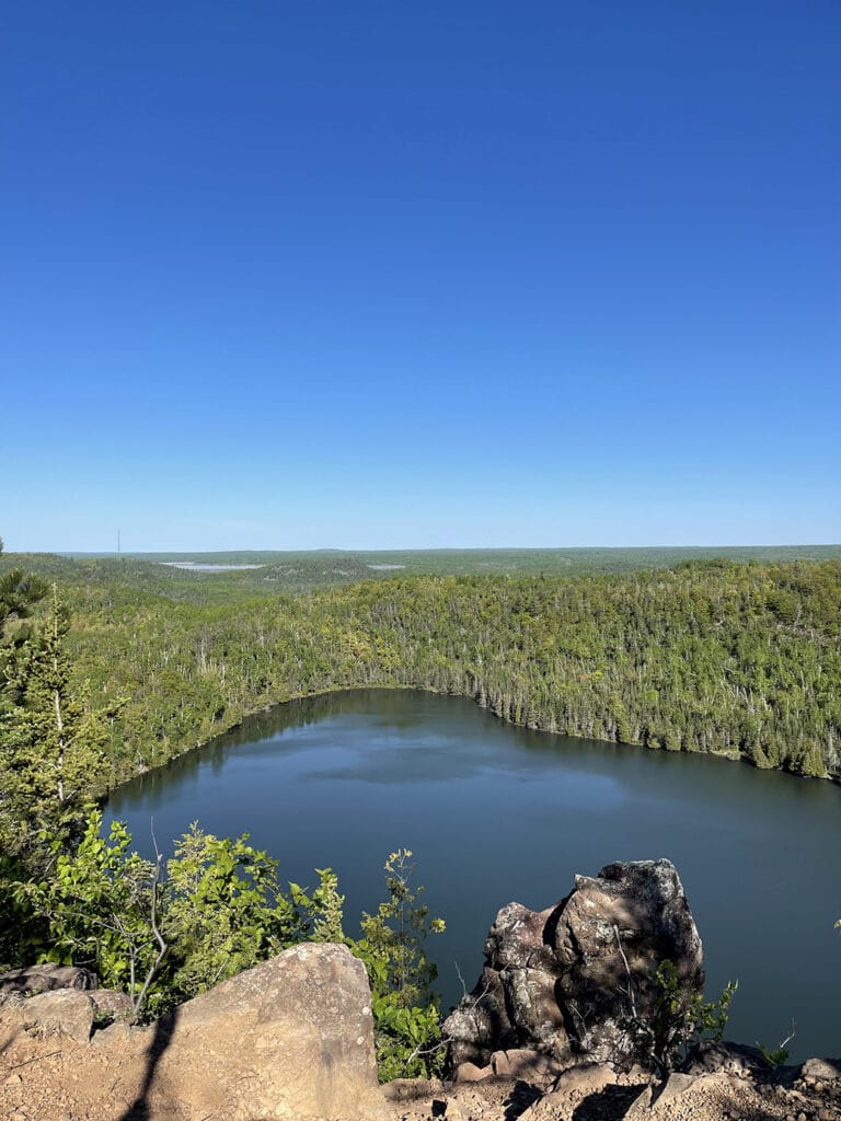
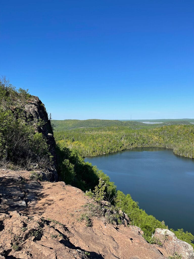
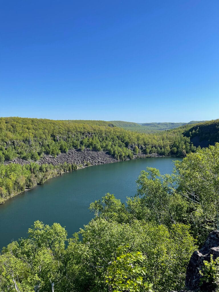
With the late spring and wet trails, I wasn’t in my best hiking shape. One of my first thoughts was that the trail was much more challenging than I remember. Like many sections of the SHT, there are plenty of steep climbs and descents. All of which reward you with unforgettable views of Silver Bay, Lake Superior, Tettegouche State Park, as well as state and national forests.
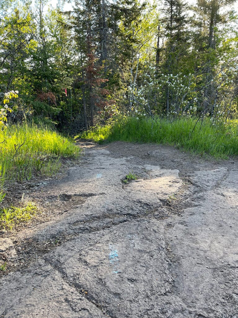
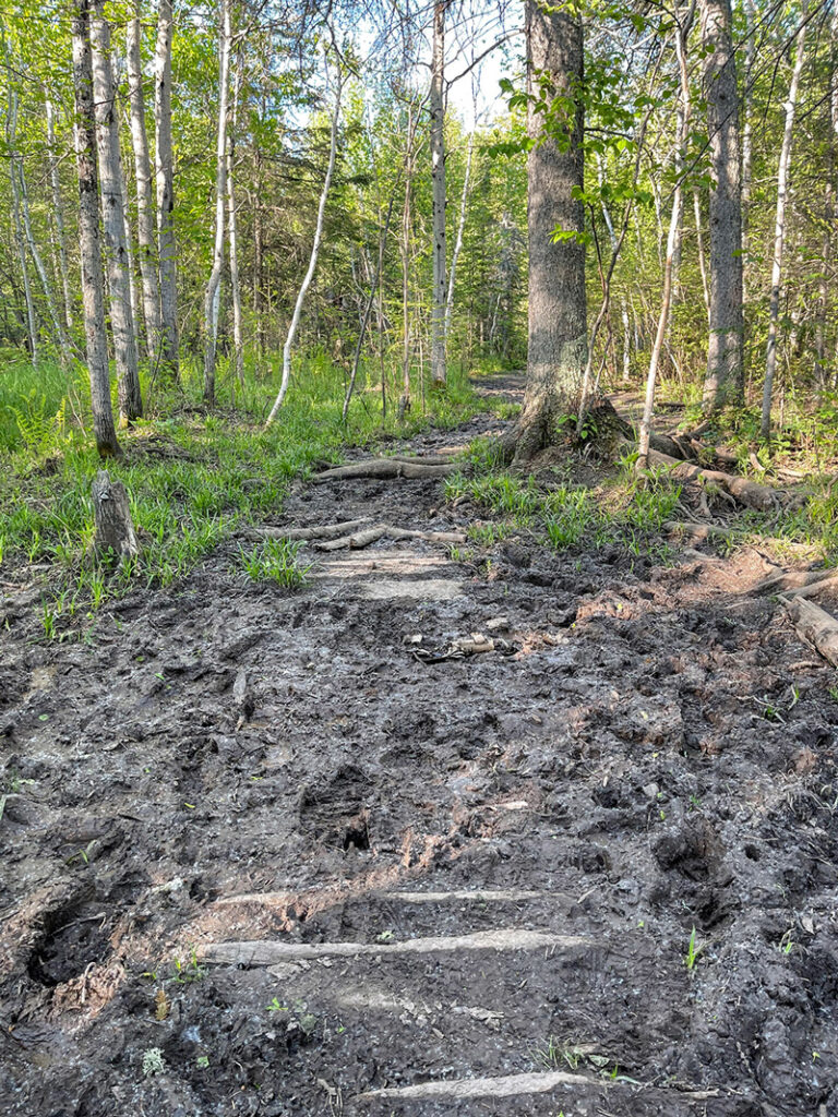
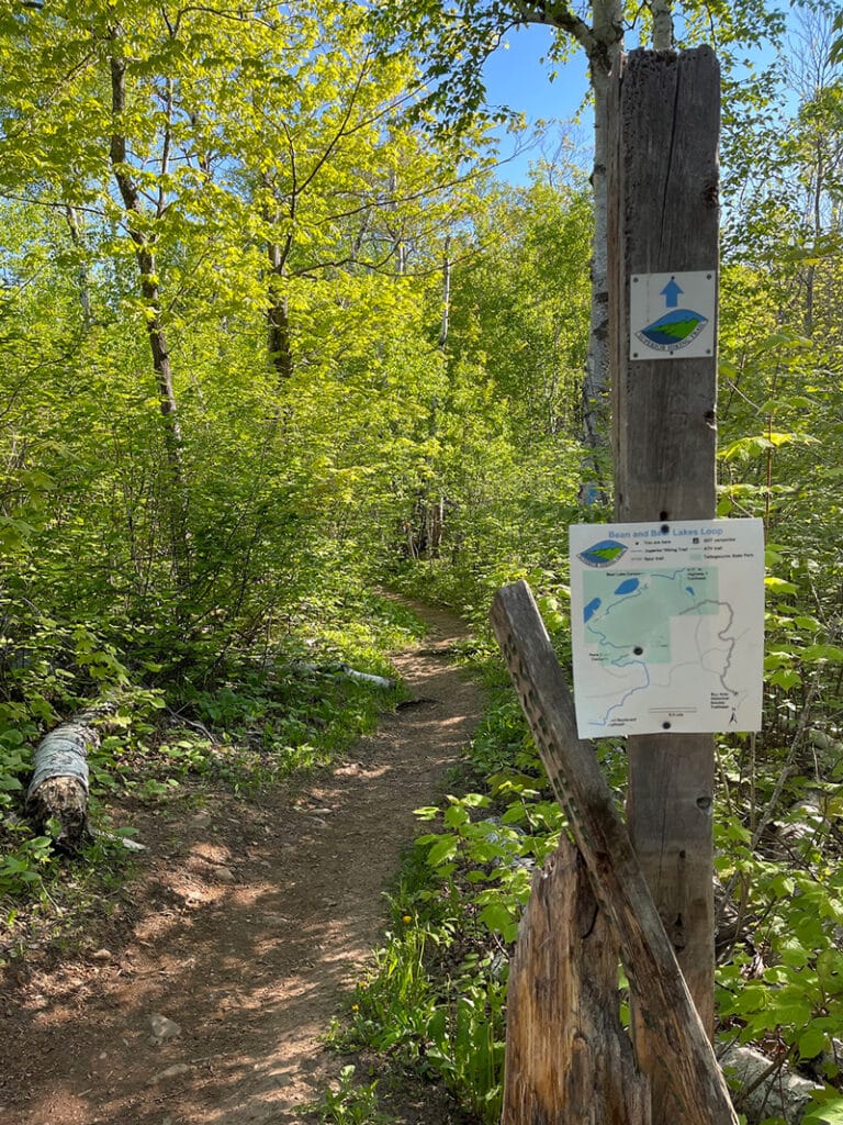
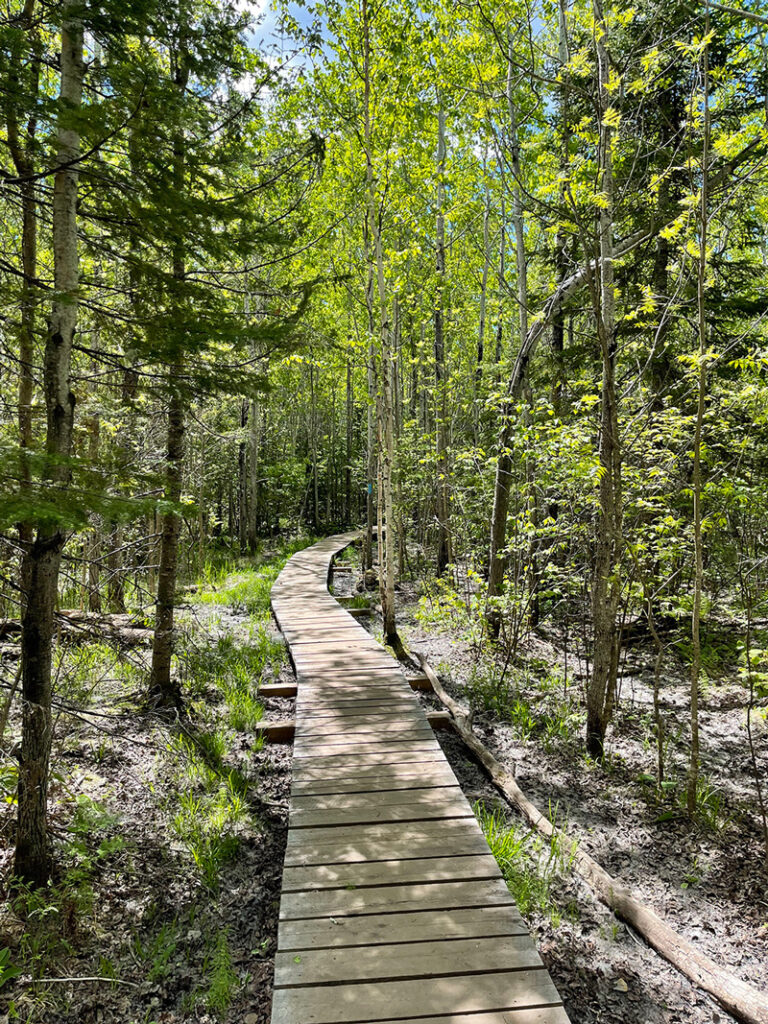
Then there’s the mud. I’ve hiked this trail half a dozen times and it’s been muddy on all of those hikes except one. The mud is challenging because the rule is to go through, not around. Sidestepping muddy sections leads to erosion that negatively impacts plant life and trail stability. I’ve noticed increased erosion in recent years which makes staying on the trail that much more important. The good news is that the mud is usually easily navigable by stepping on rocks and downed wood. I feel more confident with my balance when using trekking poles, but many go without.
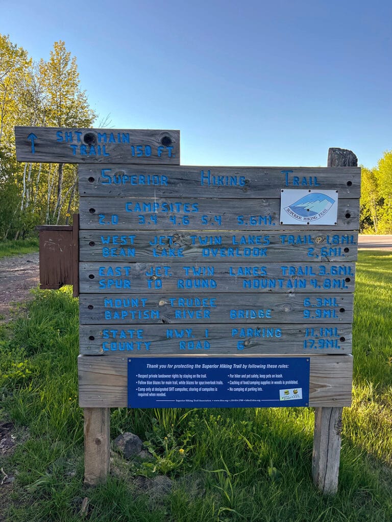
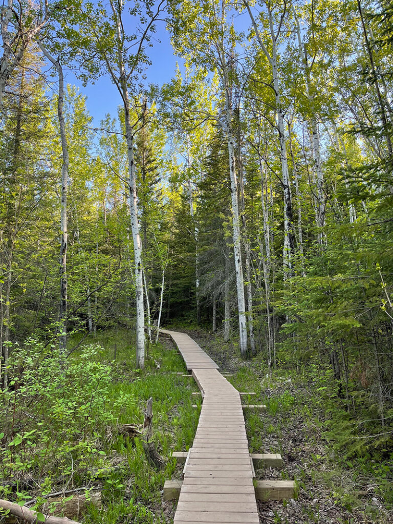
As I write this, the Superior Hiking Trail Association (SHTA), along with the help of volunteers, is working on a reroute to build a more sustainable route to Bean and Bear Lakes. This will surely make for a more pleasant hike in the future. You can learn more about SHTA volunteer opportunities here.
If you just do the loop and skip the other spurs and overlooks, the hike is about seven miles. In those seven miles, you’ll gain close to 1,400 feet of elevation. There are plenty of easy flat stretches to catch your breath and recover. Experienced hikers with an average fitness level should plan on a pace of two miles per hour. You’ll want to allow yourself a minimum of four hours to complete the hike; more if you’re less experienced, plan to take breaks, and take photos at the countless magnificent overlooks.
I detail the difficulty of the trail for several reasons. I find that I enjoy challenging hikes more when I know what to expect. I’d rather say, it wasn’t as bad as I thought it would be than that was awful. And although the first couple of times I hiked this, I carried only a water bottle, I guarantee you’ll find it much more enjoyable if you have a daypack with plenty of water and snacks. It’s also important to get the timing right. I wouldn’t want you to set out on this hike two hours before sunset and have to hike back in the dark. All in all, it’s better to know what to expect.
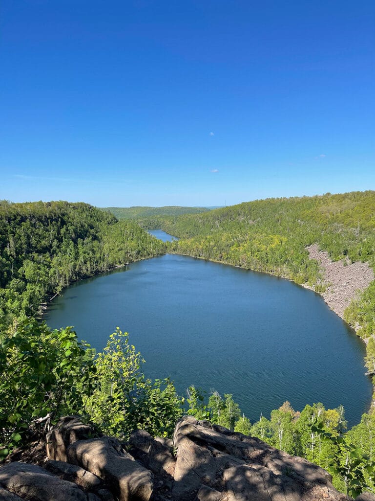
Why you should hike to Bean and Bear Lakes
Knowing what you know now, here’s why you should hike to Bean and Bear Lakes.
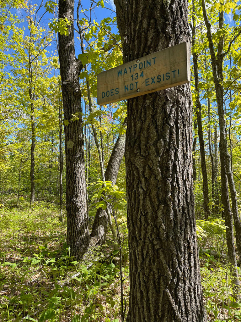
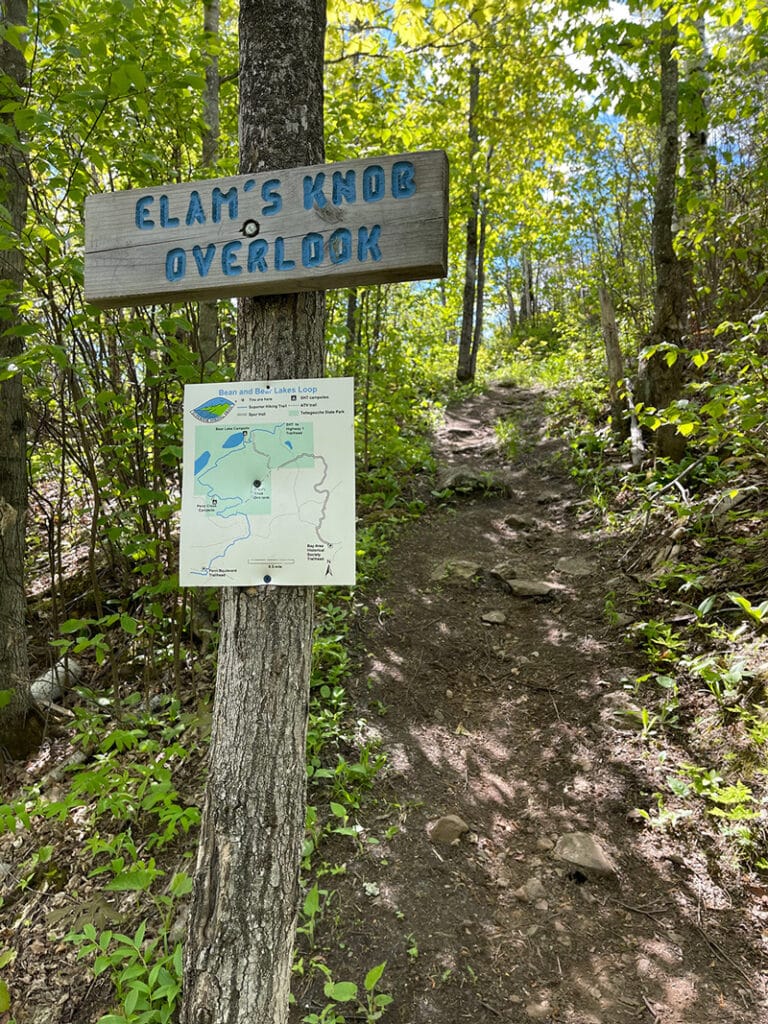
If you’re the type of person who feels good after you accomplish something challenging, you’ll love this hike. It’s also easy to navigate. Other than a few unofficial trails created by users going off-trail, the SHT is easy to navigate. Blue blazes (stripes of light blue paint) on rocks and trees direct you along the main trail. Spur trails, like the one that’s part of this loop, are marked with white. There are also maps posted in several spots along this route. Lastly and most importantly, you’ll never forget the breathtaking views. If you come prepared and allow yourself enough time, you’ll create memories that will last a lifetime.
Trail Information:
Location: Just outside of Silver Bay, Minnesota – there is a large parking lot at the trailhead for Bean and Bear Lakes at the Penn Boulevard Trailhead
How to Get There: From Hwy 61 at mile post 54.3 take a left at the stoplight onto Outer Drive. Continue 1.5 mi, this will turn into Penn Blvd, continue for 0.5 mi, turn when you see the trailhead on the right. You can find the location on Google Maps here. Note that there are no facilities at the trailhead so you’ll want to top off your water and use bathrooms before you arrive.
Distance: ~7 Miles
Elevation Gain: 1,600 Feet
More information:
- Learn more about this section of the trail on the Superior Hiking Trail website here.
- Learn more about navigating the trail, safety, and Leave No Trace here.
- And it’s always best to check trail conditions before you head out. You can find the latest here.
The Superior Hiking Trail is challenging and stunningly beautiful. And Bean and Bear Lakes are among the many crown jewels. If you know what to expect and come prepared, you’ll enjoy a fun and memorable day on the trail.

Holly Scherer is a Minnesota-based writer, photographer, outdoorswoman, and guide. She’s most at home in the great outdoors; camping, hiking, paddling, cycling, and gardening. When she’s not on an adventure, she and her husband live in the Twin Cities where they’re fond of saying, “home is where we store our outdoor gear.”


