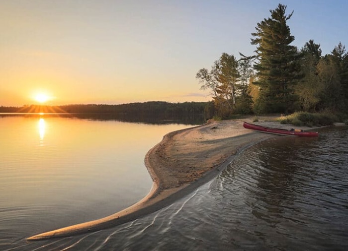
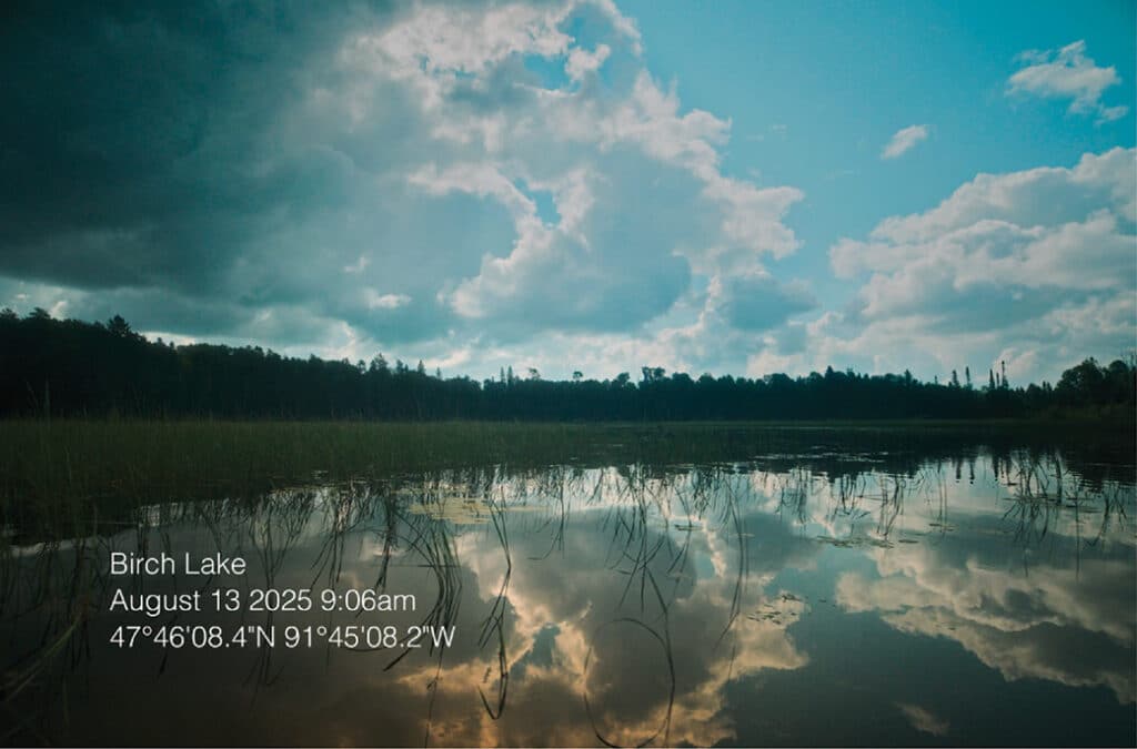
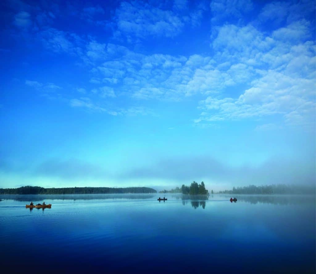
US Forest Service HQ building in Washington DC

What the Forest Service move to Utah means for Superior National Forest

The U.S. Forest Service recently announced that it will move its headquarters to Salt Lake City, Utah. The move is part of a broader restructuring of the agency. Closer to home, two research and development facilities in Ely and Grand Rapids are slated for closure. We reached out to the Superior National Forest to learn what this may mean for the national forest.

87 acres in northern Minnesota returned to Grand Portage Band

Three important parcels of land totaling 87 acres that originally belonged to the Grand Portage Band of Chippewa in northern Minnesota have been returned. The agreement was reached through a collaboration with the Lloyd K. Johnson Foundation and the Minnesota Land Trust. Although the land was lost through questionable actions, the Band sees this as a hopeful step towards restoration.

canoe on beach in Quetico with sunset over lake

A snapshot of Quetico Provincial Park’s past

Most people think of Quetico as a paddler’s paradise with over 1 million acres to explore. But the land has played an important role in the lives of the Anishinabeg people for thousands of years, as they lived, hunted, and travelled in the region, and continue to do so.

PFAS in Lake Superior: new fish data sheds light on long-term trends

A recent analysis of lake trout and walleye from the EPA’s Duluth laboratory reveals a rare environmental bright spot: PFAS levels in Great Lakes fish have declined significantly since the late 2000s. While Lake Superior can take almost two centuries to ‘flush,’ this study suggests the biological food web is responding much faster to industrial phase-outs than previously thought.

Minnesota DNR approves Twin Metals exploratory drilling plan near BWCAW

The Minnesota DNR has approved a plan by Franconia Minerals, a Twin Metals Minnesota subsidiary, to drill for metallic minerals near Birch Lake, about nine miles south of Ely. The approval allows 19 exploratory drill sites along the shoreline and beneath the lake, which drains into the BWCA—prompting concerns about pollution risks to the protected watershed.

Forestry Center moves forward to return land to Fond du Lac Band

The University of Minnesota recently reached an agreement in principle to return the Cloquet Forestry Center’s land holdings to the Fond du Lac Band of Lake Superior Chippewa in northern Minnesota. The state of Minnesota still owns some of the property, which means the legislature must approve the transfer to complete it. If finalized, Fond du Lac will own all 3,400 acres, but the Forestry Center will continue to provide education and research in collaboration with the Band.

Border bill could reshape Boundary Waters Canoe Area Wilderness

A new bill could permanently alter how the Boundary Waters’ border with Canada is patrolled. Republican Senator Mike Lee of Utah recently introduced the Border Lands Conservation Act, which would allow the federal government to expand border patrol operations using tactical infrastructure and surveillance systems.

How would reversing the Roadless Rule affect the Superior National Forest?

U.S. Agriculture Secretary Brooke L. Rollins recently announced plans to withdraw the 2001 Roadless Area Conservation Rule, which protects 59 million acres of National Forest from new roads and timber harvests. In Minnesota, many of these areas border the BWCA. If implemented, the change could significantly affect how parts of the National Forest are managed.

New technology may fight sulfate pollution near BWCAW

Near Birch Lake Reservoir, Jeff Hanson’s mobile lab is testing a potentially proven, cost-effective method to remove sulfate from watersheds flowing into the Boundary Waters. This pollution, a byproduct of taconite mining, harms humans and contributes to toxic mercury levels in fish.

Aircraft surveys aim to map critical minerals across northern Minnesota

Small aircraft equipped with advanced mapping technology are flying over northern Minnesota to survey geology and update maps of critical minerals. Led by the U.S. Geological Survey and the Minnesota Geological Survey, the project aims to improve understanding of resources vital for clean energy and national security. Whether the findings will encourage new mining in the region remains unclear.