New BWCAW Collaborative promotes shared learning with the USFS
The Superior National Forest and stakeholders who care about the BWCA collaborate on topics including forest stewardship, visitor use, fire management, impacts and restrictions…


The Superior National Forest and stakeholders who care about the BWCA collaborate on topics including forest stewardship, visitor use, fire management, impacts and restrictions…
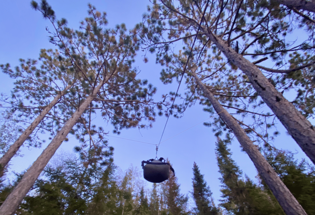
The USFS has updated the regulations concerning food storage in the Boundary Waters Canoe Area Wilderness. Hanging items in a tree or using approved bear-resistant containers has been a part of the regulations and rules, and now violations can bring penalties. Learn how to hang a food pack from a tree and travel safely through bear habitat.
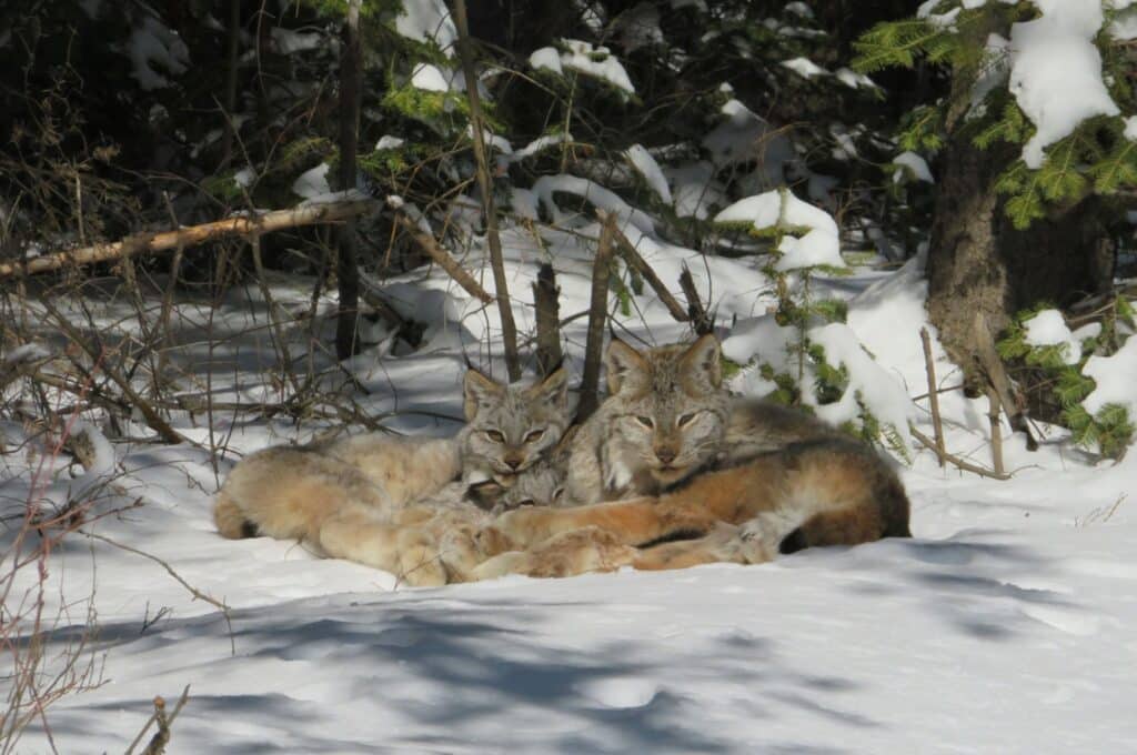
The U.S. Fish and Wildlife Service recently implemented a Draft Recovery Plan to strengthen habitat protection and support breeding populations of the Canada lynx. In Superior National Forest, the population has maintained healthy numbers for the past decade; however, it could change.
“Forests die fast and grow slowly,” says Lee Frelich, a forest ecologist with the University of Minnesota. In response to warming conditions, researchers in northern MN are planting trees normally suited for southern regions of the state. The USFS initiated an assisted migration plan to ensure the future of healthy forests.
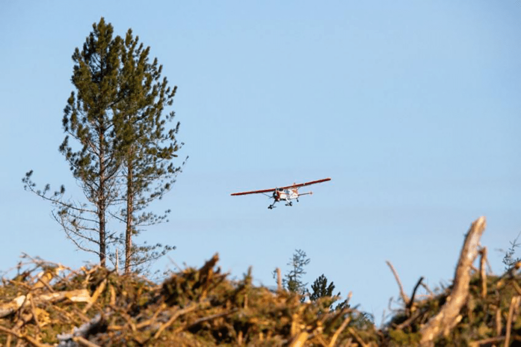
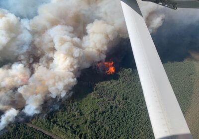
This spring, the USFS conducted aerial reseeding over hundreds of acres as part of ongoing efforts to restore a previously pristine area. The Greenwood Fire burned over 26,000 acres in the Superior National Forest (SNF) and earned the title of the most extreme wildfire event of 2021.
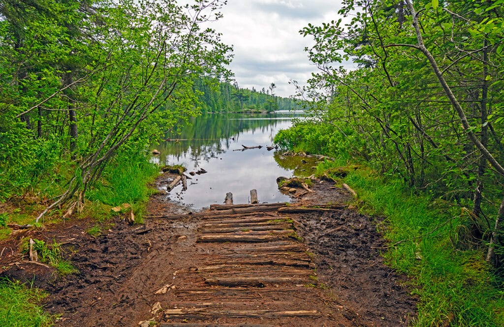
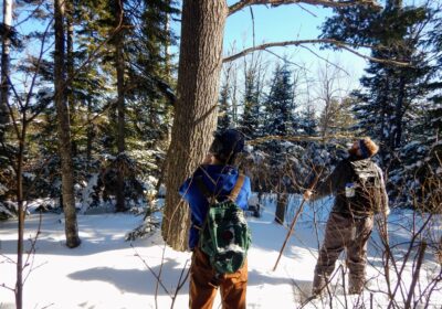
Spring thaw means roads and trails in northern MN may be muddy and more vulnerable to erosion. Visitors can follow Tread Lightly principles now and throughout the season while enjoying the outdoors.
National parks around Lake Superior have executed long-term, sustainable options against carbon emissions. Recently, the National Parks of Lake Superior Foundation (NPLSF), in partnership with the National Park Service (NPS) took bold steps against climate issues. Grand Portage National Monument and Isle Royale National Park are two of the locations implementing changes.

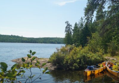
Along the northern edge of the Boundary Waters Canoe Area Wilderness (BWCA) lies an invisible line. The international border stretches over 150 miles of water trail, following the shorelines of Quetico Provincial Park to the north and the BWCA to the south. Careful observers may notice the subtle demarcation of the international boundary as they paddle by. Short metal reference markers are punched firmly into hard granite rock.
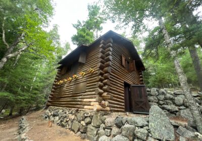
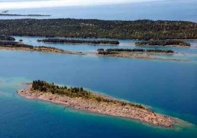
Work is underway to ensure Wolf Island’s historic structures are preserved, while also providing a new recreation site.
New management plans for all National Forests in the US seek to ensure mature and old-growth forests are maintained and even expanded.
Events will offer interested groups and individuals informal conversation with Forest Service leaders.
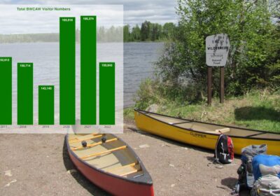
After two years of high demand in the wilderness, Superior National Forest data shows that the number of visitors to the BWCA last year returned to similar levels as before the COVID-19 pandemic.
Nine recreation sites would see increases in fees charged by the U.S. Forest Service if a new proposal is approved. Fees help fund maintenance and improvements…
Should fire be managed in the Boundary Waters? What have we learned from past mistakes? Experts discuss wildfire past and future in the BWCAW.
A wide range of stakeholders weigh in on how the BWCAW is managed. Interviews with dozens of wilderness users and other stakeholders resulted in new recommendations.
Strong opposition emerges against effort to prohibit motor vehicles on large swaths of ice.
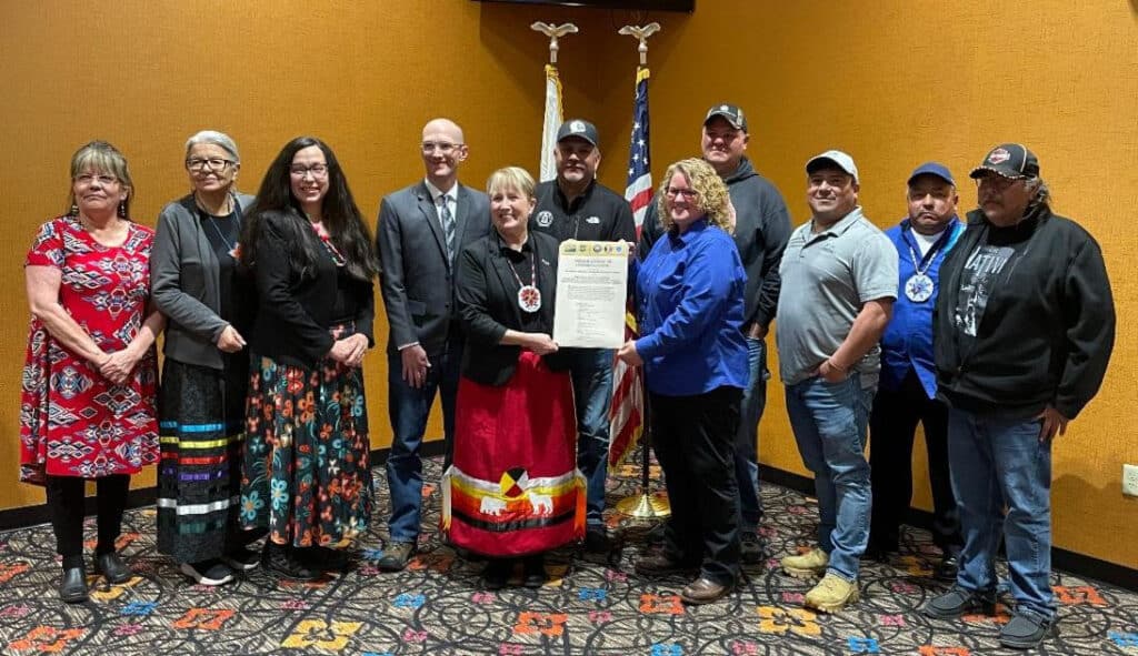
Historic move explains how Forest Service will respect treaty rights for northern Minnesota Ojibwe.
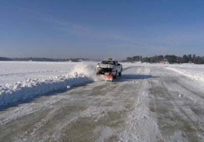
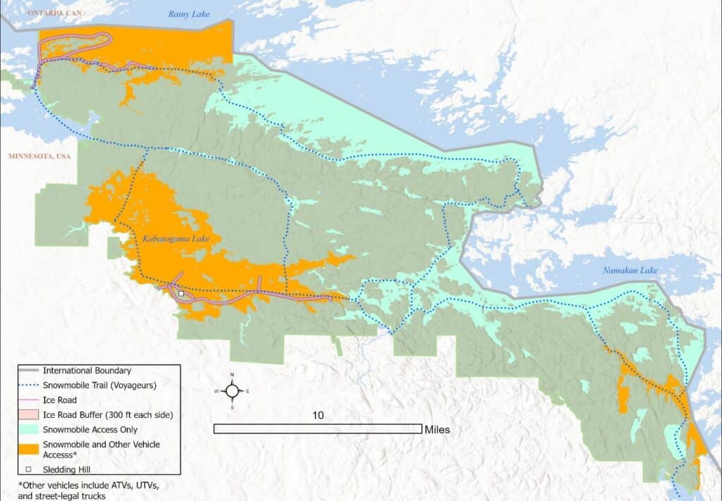
The National Park Service releases plans to manage ice roads and put rules in place for use.
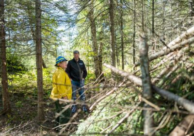
Project studies potential of converting excess fuel for forest fires to useful material for several purposes.
Tom Hall takes over as head of Superior National Forest, will lead federal agency through several significant issues in years ahead.