Choose Your Own Adventure – Fall Hike on the Upper Gunflint Trail
By Ada Igoe, Contributor
For many Minnesotans, hiking through the fall colors “up north” is as important as visiting the apple orchard or carving a pumpkin. But head up the Gunflint Trail (Cook County Hwy 12) on an autumn weekend to any of the popular hiking trails known for their vistas – such as Centennial, Magnetic, Caribou Rock, or Honeymoon Bluff – and you might be disheartened by the busy parking lots. The bumper-to-bumper traffic on Highway 61 on an early October weekend evening doesn’t lie; the North Shore is a popular autumn destination.
The Gunflint Trail has a vast network of hiking opportunities, from long-distance hikes like the Kekakabic and day hikes like the Magnetic Rock Trail, to snowmobile trails, cross-country ski trails, and old logging roads. The latter category of trails – snowmobile/ski trails and old logging roads – crisscross Superior National Forest land making them a great option for hikers looking to get out on public lands. However, many people seem hesitant to head out on trails that either don’t show up in the hiking brochures or lack a designated trailhead parking lot.
When my partner Andy and I want a good autumn ramble through the woods, we usually forego the hiking trails and opt instead for a “choose your own adventure” style hike on nearby snowmobile and ski trails. This often takes us to some of the best scenic overlooks on the Gunflint Trail and we usually don’t see another soul, making it the perfect way to immerse ourselves in the fall colors while feeling much deeper in the woods than we actually are.
Another advantage to hiking on these trails is that each snowmobile and ski trail is part of a larger network of trails, making it relatively easy to create a looping hike of whatever distance you want to walk on that particular day without having to double back. By contrast, most of the Gunflint Trail’s official hiking trails, with the one exception of the Centennial Trail, are out and back hikes. Although it isn’t always obvious how to access these trails, they are easy to get to once you know where to find them, so don’t feel a “choose your own adventure” hike is limited to those with local, insider knowledge.
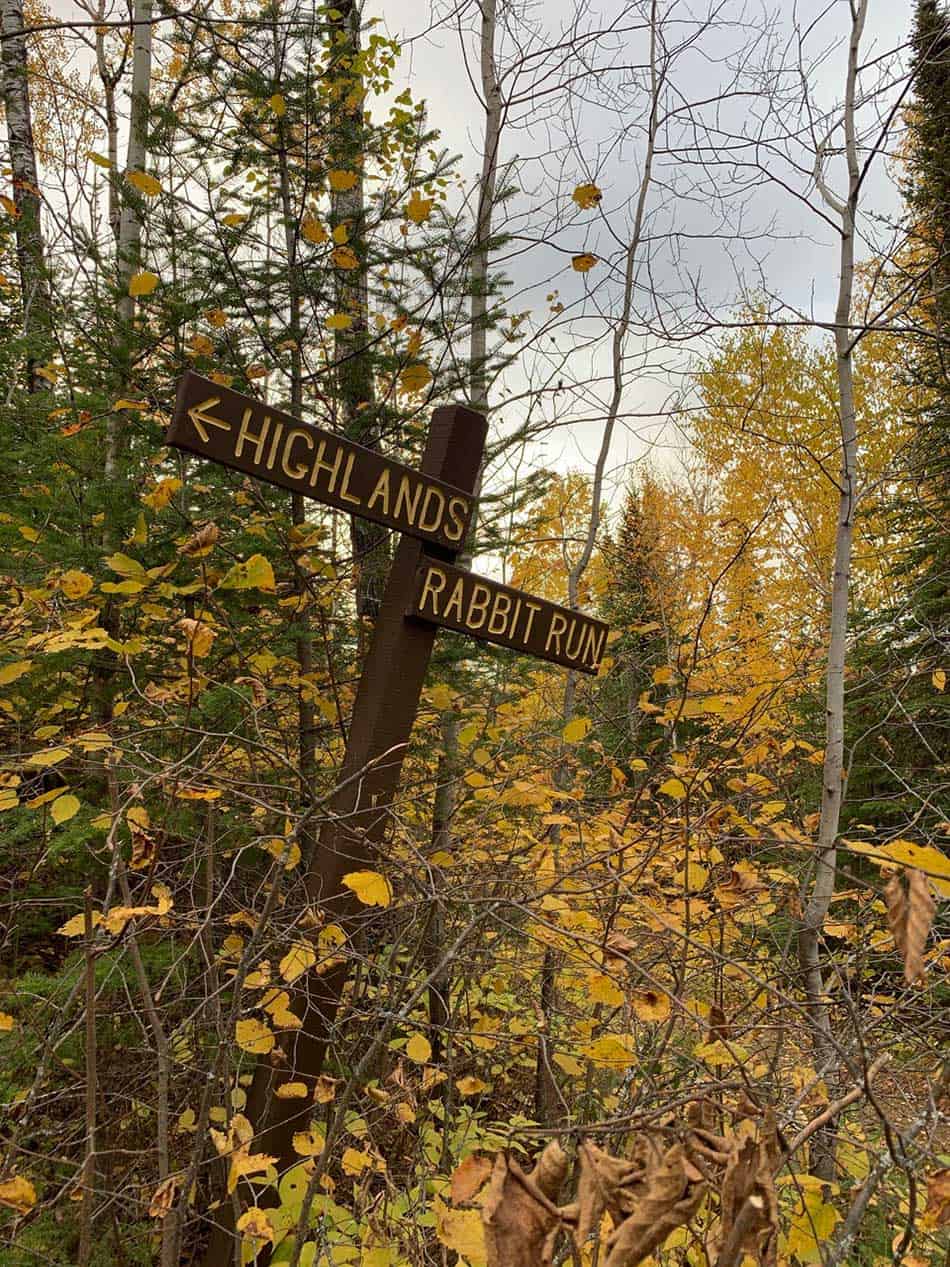
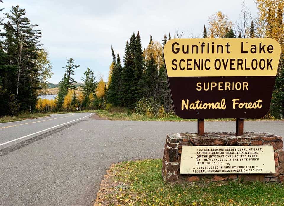
To start the hike, we parked at the Gunflint Lake Scenic Overlook pull-off located about 43 miles up the Gunflint Trail from Grand Marais. From there, we crossed the Gunflint Trail at a downhill diagonal to access the ski trails. This particular loop has some pretty impressive climbs that make the hike moderately difficult. You start right off the bat with a little uphill of a hundred feet or so before taking a right onto the Rabbit Run ski trail.
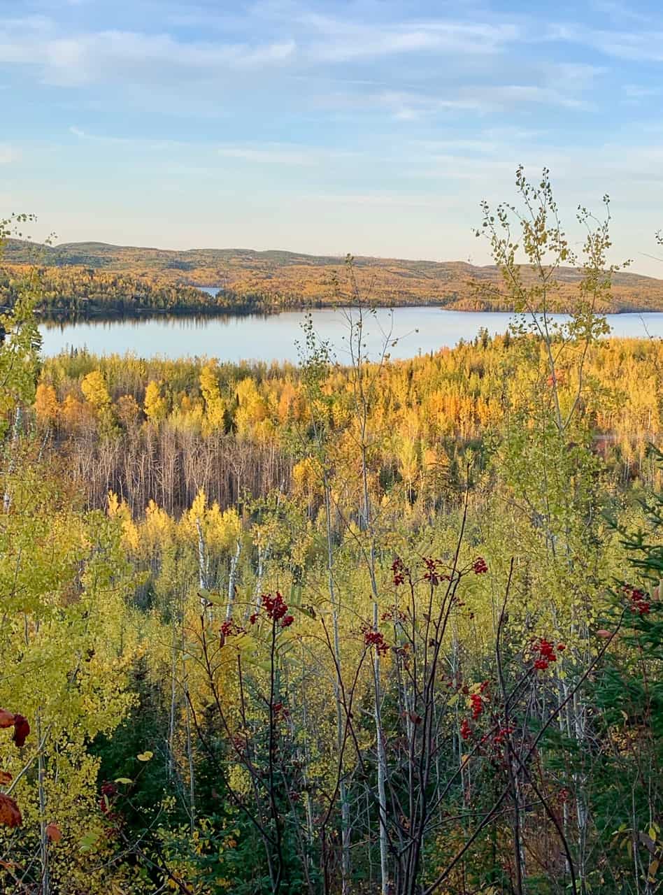
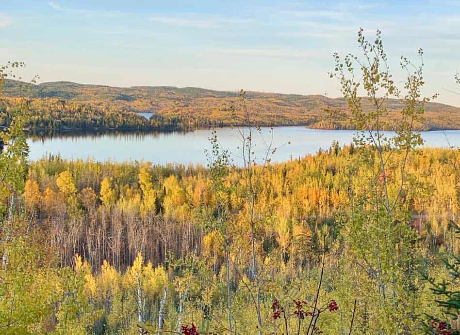
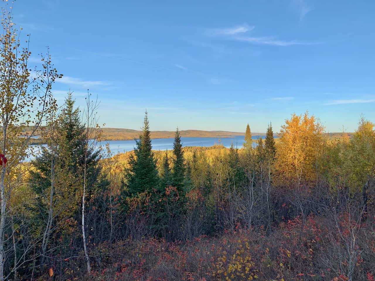
Early this October, Andy and I set out on a quick, approximately 3-mile hike right before sunset on the upper Gunflint Trail ski trail system. We try to hike this loop every fall when the fall colors are peak because it travels through a 1999 Blowdown recovery area that’s thick with deciduous trees. The trail also skirts along the edge an 1,800 ft cliff, providing views down all eight miles of Gunflint Lake.
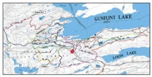
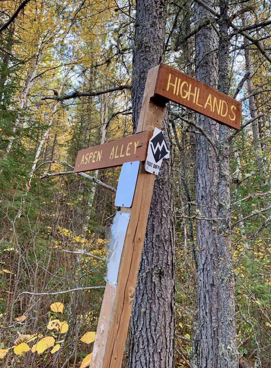
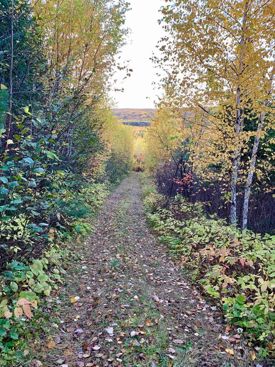
We followed the trail downhill in a series of bouncy descents. The path is wide enough to walk side by side and one of things I especially appreciate about hiking on snowmobile and ski trails is that the relatively level terrain allows you to focus on the scenery rather than your footing. Gunflint Lake glinted through the thick undergrowth and occasionally the alder and aspen opened up for a sweeping overlook of the western half of Gunflint Lake and its surrounding hills. Eventually, Rabbit Run Trail turns into Aspen Alley Trail and as the name implies, the trail is lined with both aspen and birch trees that litter the trail with gold and orange leaves.

Aspen Alley quickly intersected with the road to the Cross River Firewise Brush Disposal Site. This definitely isn’t the most scenic point on the hike, but it is a sign of a working forest. All summer long Gunflint Trail residents bring any brush they’ve created from clearing their property to reduce wildfire risk to this spot. Each autumn, the U.S. Forest Service burns the pile in a controlled burn. We happened to do this hike just a couple days before the annual burn, so we skirted around a towering brush pile.
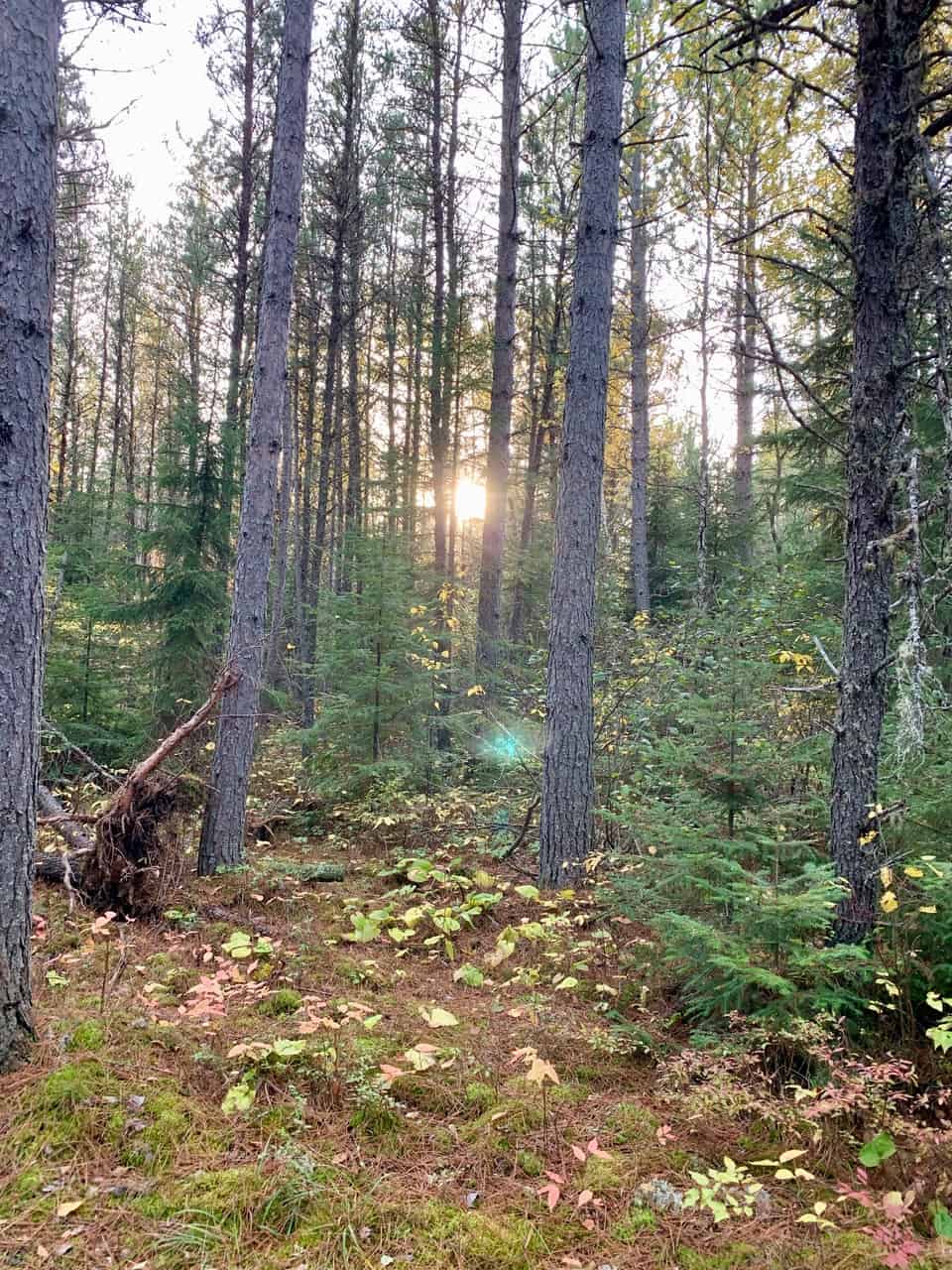
As we exited the brush pit, the terrain grew sandy and the surrounding forest shifted from deciduous trees to predominately jack pines. At the end of Aspen Alley, we took a sharp left turn onto the Highlands Trail and almost immediately began a steep climb of approximately 150 vertical feet. It only took a few minutes to scramble up the hill but it certainly gets your heart rate up. Happily, the path levels out at the top of the hill as we turned left and started heading back towards our car, walking along the top of the cliff overlooking Gunflint Lake and the aspen forest we’d just hiked through.
The whole hike took us a little over an hour with numerous stops for photos. This is just one of many loops we could have made on the upper Gunflint Trail ski trails that evening, but as we watched the sun set over the surrounding hills, we felt like we’d made the right choice. After all, we could have a brand new adventure on a totally different trail the next day.
More Information:
Visit Cook County Gunflint Trail Region
Gunflint Trail Scenic Byway Information
