“Do we have to go hiking?” our nephew fussed as we made our way up Highway 61 along Minnesota’s North Shore. “We don’t have to,” I replied, “but I think you’ll really like it.” “No, I won’t,” he continued. “Hiking is just walking and walking is boring.” “Well, how about this?” I wagered. “Let’s do this hike to Carlton Peak and if you don’t like hiking, we won’t do any more hikes for the rest of the trip.” “Fine,” he grumbled. “But I already know I’m not going to like it.”
If you’ve had the pleasure of visiting Minnesota’s North Shore of Lake Superior, you know there’s no shortage of scenic vistas. It seems like every road and trail leads to another awe-inspiring overlook. Some, like Palisade Head, are easy to get to with a short drive up a steep paved road. Others, like Eagle Mountain, require long hikes into the Boundary Waters Canoe Area Wilderness.
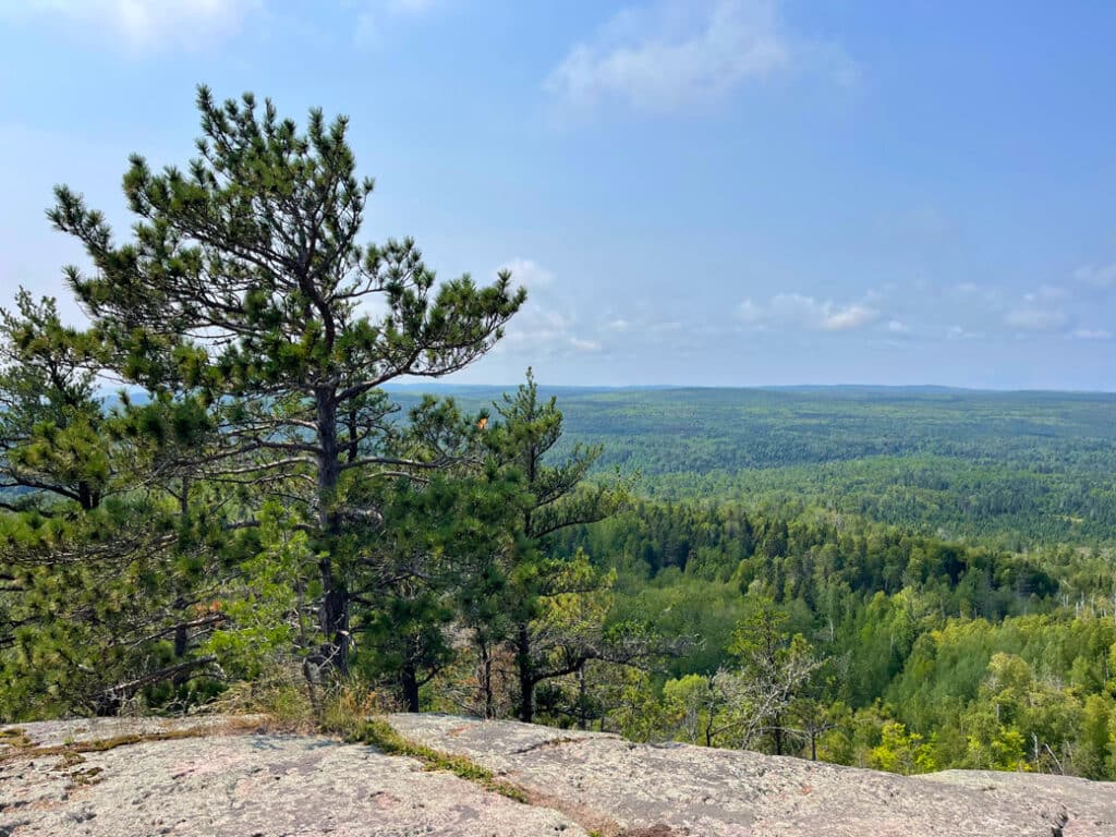
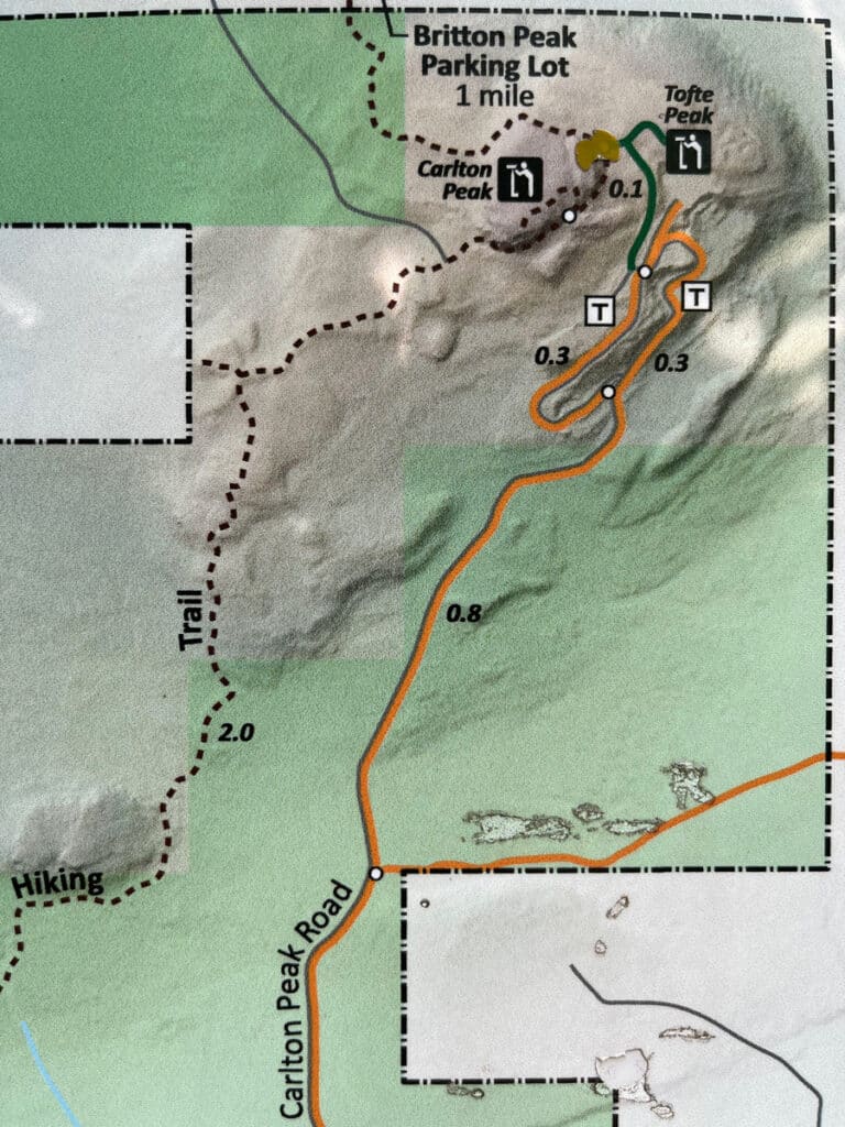
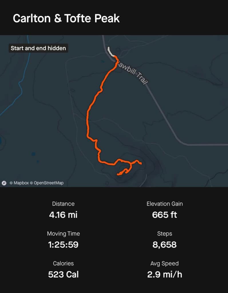
Carlton Peak, and its lesser-known neighbor, Ted Tofte Overlook, are somewhere in the middle. The moderate four-mile roundtrip hike starts out fairly flat for the first mile and gradually increases in grade and terrain. But the views are among the best the region has to offer and you may even be rewarded with a respectable level of solitude.
Getting to Carlton Peak
The best way to hike to Carlton Peak is by parking at the Britton Peak Trailhead, two miles up the Sawbill Trail (Cook County Road 2), just north of Tofte. My last visit was during the middle of the day on a weekday in August and there was plenty of parking. However, the lot is shared with mountain bikers and backpackers using the Superior Hiking Trail. Plan to arrive early if you’re visiting on a weekend or during fall colors. If the lot is full, the Superior Hiking Trail Association asks that you recreate elsewhere. I’m typically on the trail first thing in the morning, but if I do find a lot that’s overflowing, I move on to my next adventure and return later in the day. I find that this makes my adventures more enjoyable during busy times.
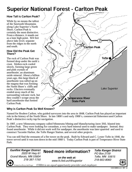
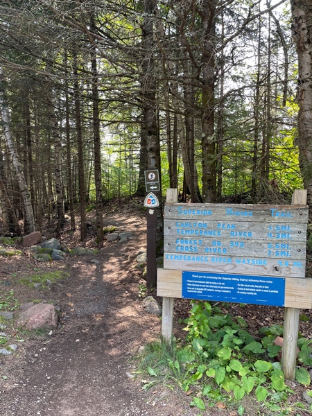
It’s unlikely that you’ll have wireless service in the parking lot so be sure to check the weather and download any information and maps before you arrive. You can learn more and download a printable map from the Superior National Forest here. You’ll find a vault toilet at the end of the parking lot near the beginning of the trail. I usually find the facilities clean and well-stocked with toilet paper. But if you’re visiting on a weekend during peak times, you might want to be prepared with toilet paper and hand sanitizer. You’ll also find a delightful picnic area a short walk up the trail in a stand of pines. It’s small, with one picnic table and a fire ring, but lightly used.
The hike to Carlton Peak is about three miles roundtrip. Plan for four miles if you include the underrated Ted Tofte Overlook—and trust me, you will want to include this spur. Depending on how often you stop to take pictures and savor the scenic vistas, you should be able to complete this hike in two to four hours. Unless you’re a speedy hiker, you might want to bring a daypack with water, snacks, sun protection, and bug repellant. I have a daypack packed with the Ten Essentials that I bring with me on any trip where I’ll be day hiking. You can learn more about the Ten Essentials here.
Hiking to Carlton Peak
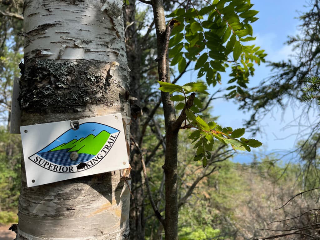
The trail to Carlton Peak starts to the left of the vault toilet. You’ll see a Superior Hiking Trail sign just to the right of the trail. After passing the wooded picnic area, a short walk and a few stairs will lead you back to the Sawbill Trail. Use extra caution when crossing the road. Once you’re safely across, you’ll see a sign that highlights the elevation and a brief history of the peak. The trail starts level and flat through a beautiful mixed forest complete with mosses and wildflowers. Less than a mile in, you’ll start to feel that you’re gradually gaining elevation. It won’t be long before the trail becomes rocky with more significant climbs. Don’t let this deter you though, this section of trail is manageable for most people if you take it slow. You might also consider using trekking poles to help maintain your balance and relieve pressure on your joints as you descend.
Ted Tofte Overlook
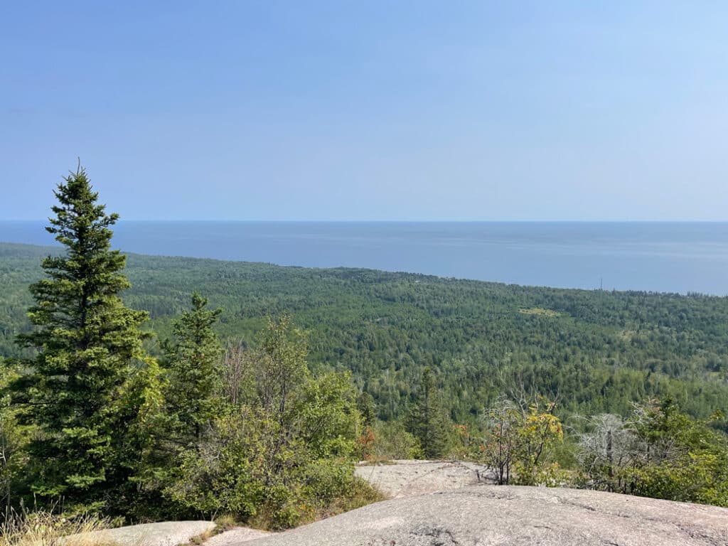
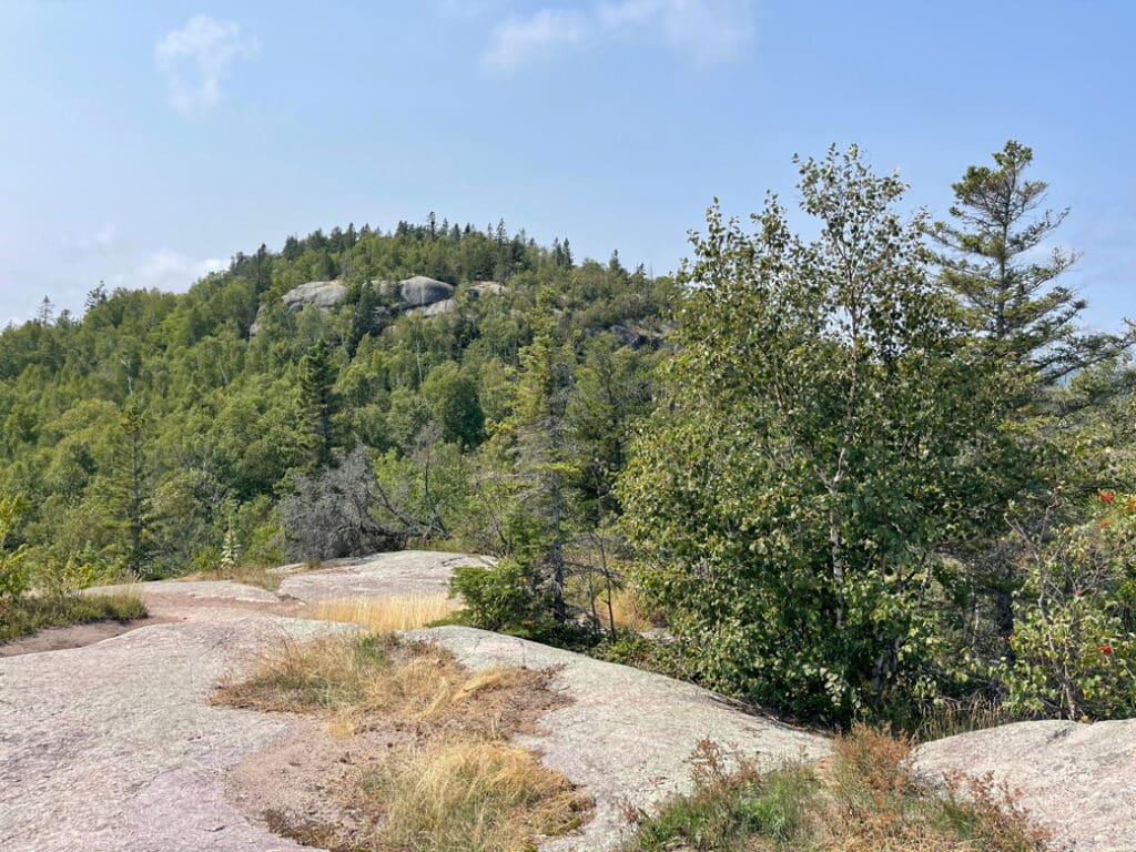
As the trail becomes rockier and you start to feel like you’re climbing, be sure to keep an eye out for an unassuming sign for Ted Tofte Overlook on your left. Considering that I usually have this breathtaking overlook to myself, I assume that most hikers skip it. But of the two, this is my favorite with epic views in every direction. It’s well worth the climb.
Back on the main trail, continue in the direction you were going until you come to a sign for the summit. The turn will be on your right and can be easy to miss. The main trail is part of the Superior Hiking Trail (SHT) and continues to Temperance River State Park. You can tell that you’re on the main trail because it’s marked with blue blazes (vertical lines painted on trees). Spur trails on the SHT are marked with white blazes.
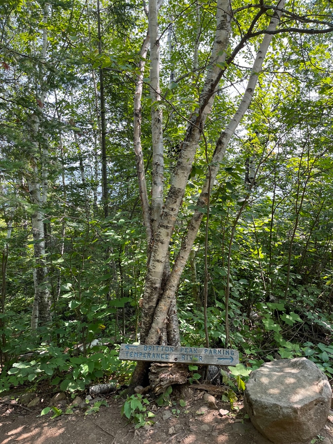
When you reach the intersection to the spur, you’ll see a sign with arrows pointing to the left toward Britton Peak (where you started) and to the right toward Temperance River. Behind you is the trail to the summit. From here it’s a short climb to the summit with jaw-dropping views of the Superior National Forest that are especially delightful during fall colors.
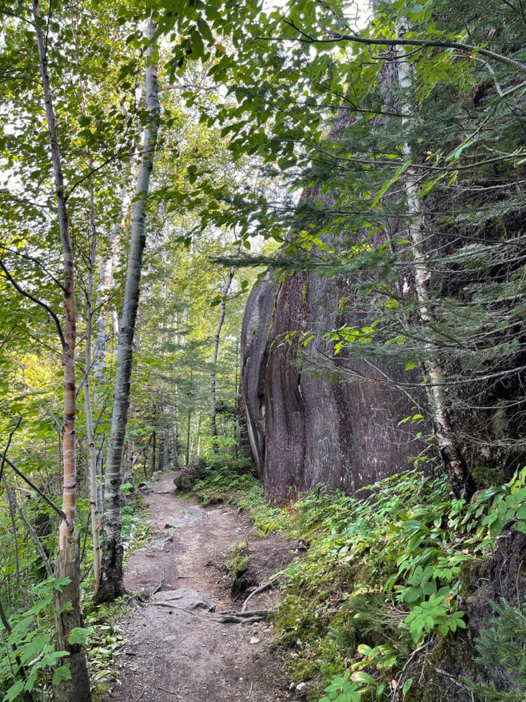
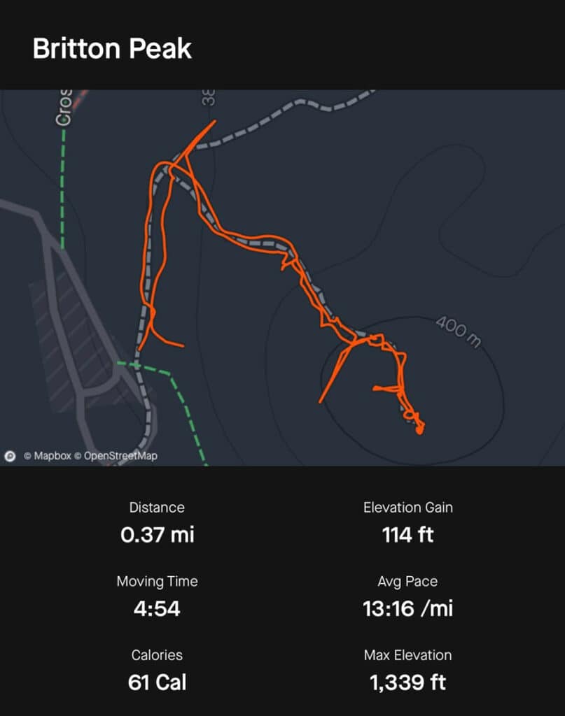
Once you’ve caught your breath and enjoyed the scenic vistas, continue back the way you came. It’s all downhill so be sure and savor the beautiful plant life and geological features. If you have some energy left when you reach the parking lot, head to the other side of the parking area and find the short trail to Britton Peak. A short and steep climb will reward you with epic views of the peaks you just climbed. This overlook can be a nice spot to take a breather from the fall color crowds as it’s very lightly used.
Is it worth the effort?
“What was your favorite part of the trip?” I asked my nephew after a week of camping, hiking, canoeing, and fishing along Minnesota’s North Shore. “Hiking,” he replied without hesitation and to everyone’s surprise. When I asked him what he liked about it, he struggled to put words to the awe and majesty he experienced that day on Carlton Peak, just as I do here. It’s difficult to put the unique experiences we have in nature’s beauty into words. Even photographs don’t do it justice. So, the best thing to do is get out there and experience it yourself. You won’t regret it.

Holly Scherer is a Minnesota-based writer, photographer, outdoorswoman, and guide. She’s most at home in the great outdoors; camping, hiking, paddling, cycling, and gardening. When she’s not on an adventure, she and her husband live in the Twin Cities where they’re fond of saying, “home is where we store our outdoor gear.”

