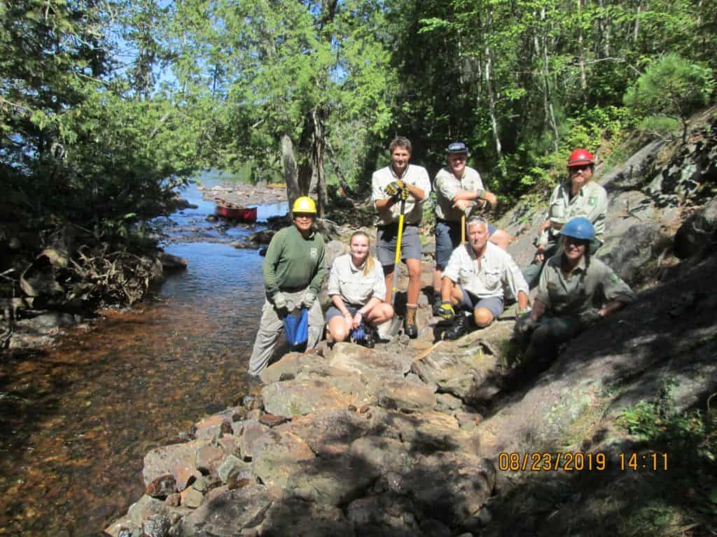
[DISPLAY_ULTIMATE_SOCIAL_ICONS]Wilderness rangers from both sides of the U.S.-Canada border met up on the Granite River this summer and used some engineering tricks to elevate a portage that was frequently inundated by high water. Wilderness crews from Quetico Provincial Park and the Superior National Forest collaborated on the multi-day project at Horsetail Rapids, just southeast of Lake Saganaga.

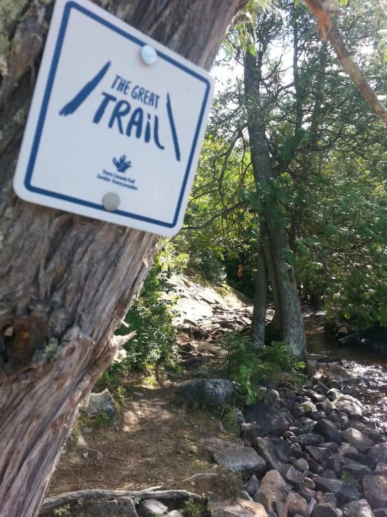
Horsetail Rapids is located on the storied “Voyageur Highway” canoe route along the border lakes. On one side is La Verendrye Provincial Park, which is managed by Quetico and other nearby parks, and on the other is the Boundary Waters Canoe Area Wilderness. In Canada, the route is also designated as the Boundary Waters Voyageur Waterway, a Canadian Heritage River and part of the Path of the Paddle section of the Trans-Canada Trail.
The lakes, rivers, and carrying places on the route been used by human travelers for uncounted generations, including by indigenous people. Today, it spans Ontario’s Treaty 3 and the Robinson-Superior 1850 Treaty areas, and abuts the 1854 Treaty territory in Minnesota. It’s a rocky and remote region, with steep hills and rushing waters.
“The Granite River in La Verendrye is a great canoe route,” says Chris Stromberg, Quetico ranger and coordinator of the Heart of the Continent Partnership. “The portages aren’t long, it has nice campsites and it isn’t unusual to see as much wildlife as you do people. The topography is a bit more mountainous than in Quetico or the western part of the BWCAW. If you know where to look and are willing to climb, there are views that might be considered in the top ten of vistas in Ontario Parks.”
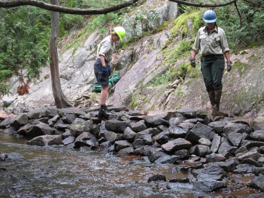
The 27-rod portage around Horsetail Rapids was essentially a rocky path next to the river. During high water, the stones would often be submerged, creating a treacherous trail. Building on past collaboration, the Quetico and Boundary Waters teams decided to improve it together.
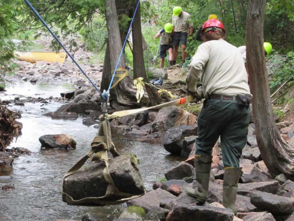
Not able to use any power equipment in the wilderness area, they instead used physics, time-tested techniques, and muscles to move rocks into place, creating an elevated causeway that would stay dry in most conditions.

“With the help of rigging pulleys with a highline, the use of a grip hoist, and the expertise of the seasoned Forest Service Rangers, boulders the size of large suitcases were moved into place,” Stromberg says.
It took the crew a couple days to get all the boulders in place and firmly stabilized. During the rest of their week working together, the crew repaired a hillside, installing water-bars to divert water and prevent erosion. Rock steps were installed on a “sketchy slanted climb,” and repaired shoreline erosion on the Saganaga Falls Portage.
They also swapped skills, safety practices and stories. Stromberg said the Quetico Park Rangers were even “treated” with a new experience: helping move a latrine at a Boundary Waters campsite. Such backcountry toilets aren’t found in Quetico’s backcountry.
The new portage causeway should last for a long time, Stromberg says. And the impact of the cross-border collaboration will also continue to benefit wilderness users.


