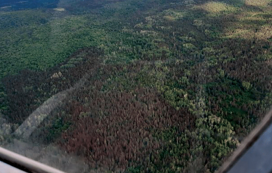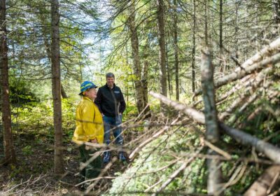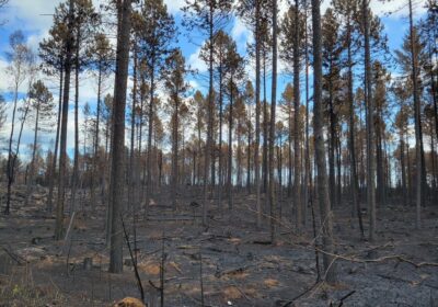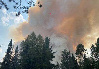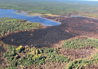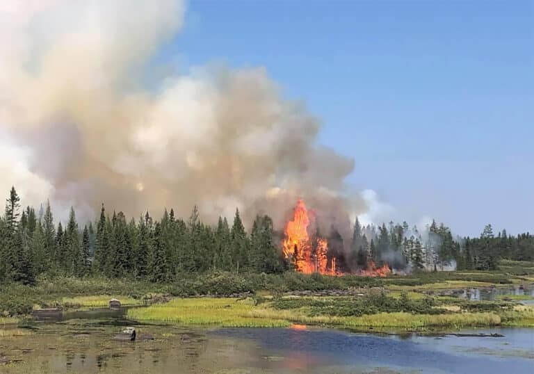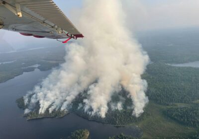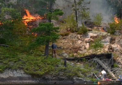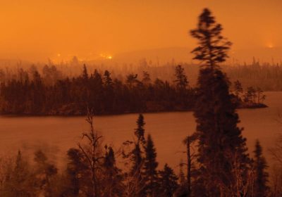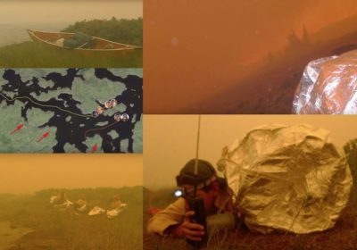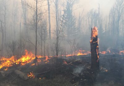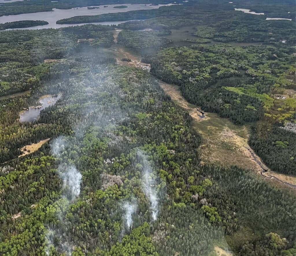
Closure order issued near the Horse River in the BWCAW
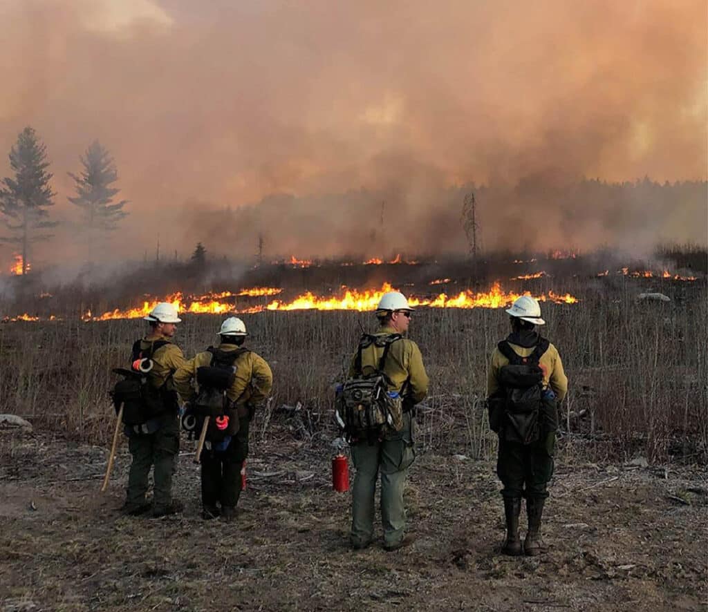
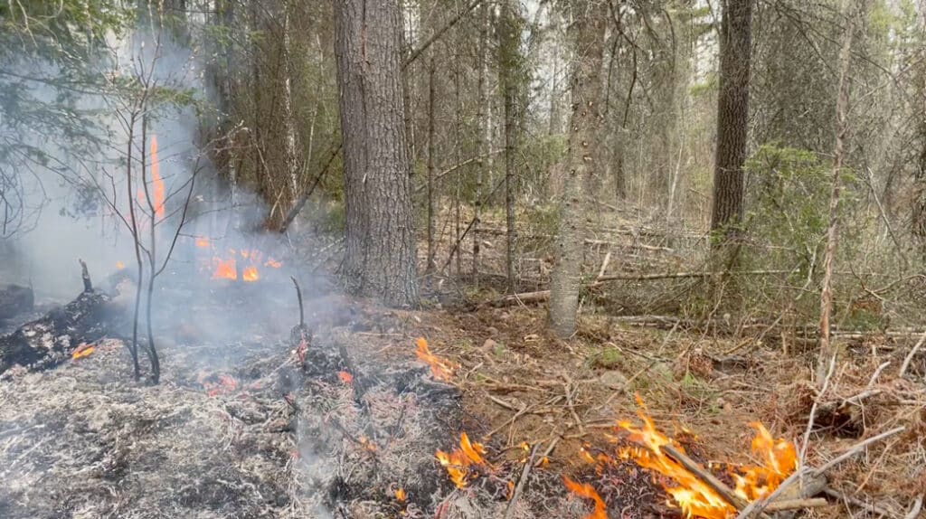
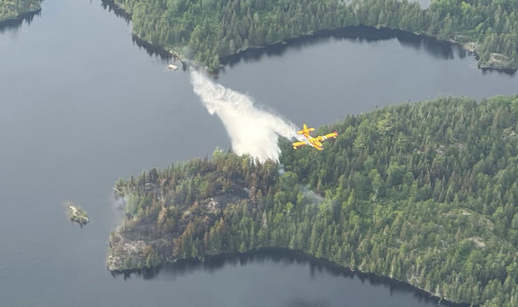
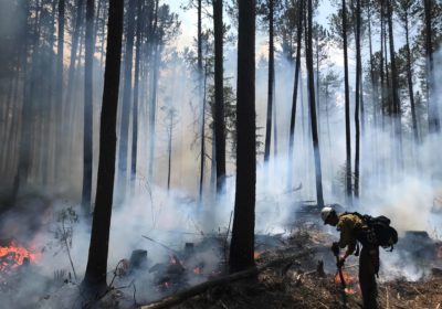
A lightning strike sparked a wildfire near the Horse River in the Boundary Waters Canoe Area Wilderness. This comes after an active wildfire season has scorched nearly 30,000 acres in the Superior National Forest this year. The Forest Service has issued a closure order for the route along the Dog Sled Portage and has encouraged visitors to avoid the area.