
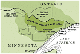

Two bridge crossings along the Superior Hiking Trail recently received upgrades through a collaboration between the Superior Hiking Trail Association and the U.S. Forest Service-Superior National Forest. The project was funded by a federal grant and completed by volunteers.
New bridges a lasting improvement
Two bridges along the Superior Hiking Trail in northern Minnesota were replaced this season. These improvements included replacing the Devil Track Tributary bridge, located a little north of Judge C. Magney State Park, as well as the Onion River bridge north of Lutsen. These projects were carried out in collaboration between the Superior Hiking Trail Association and the Forest Service.
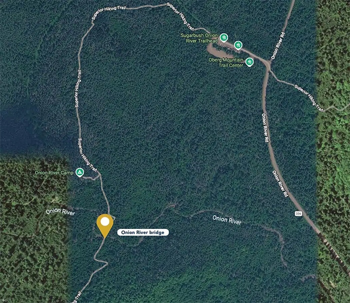
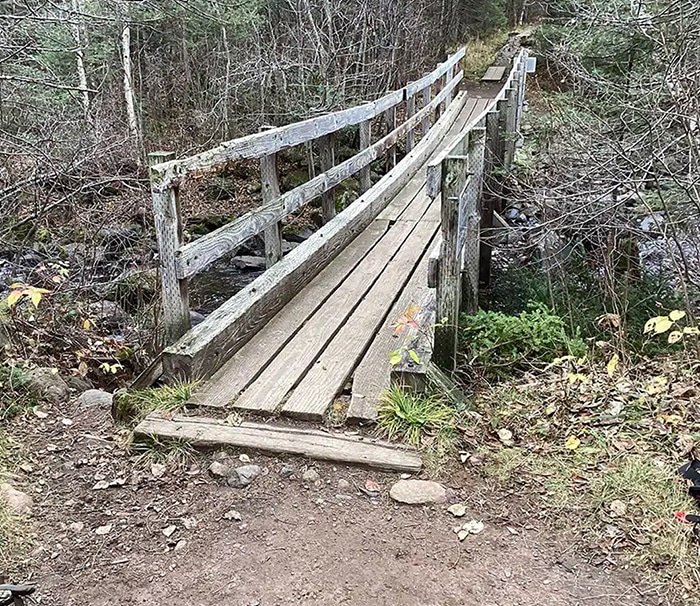
According to a social media post by the U.S. Forest Service-Superior National Forest (USFS), the Onion River bridge closed in 2024. The bridge, which was showing its age, allowed only one person at a time. This summer, 36 volunteers from the Superior Hiking Trail Association spent 900 hours installing a new 50-foot bridge made of fiberglass-reinforced polymer. Visitors can access this bridge from the Oberg and LeVeaux Mountain Trails and the Superior Hiking Trail.
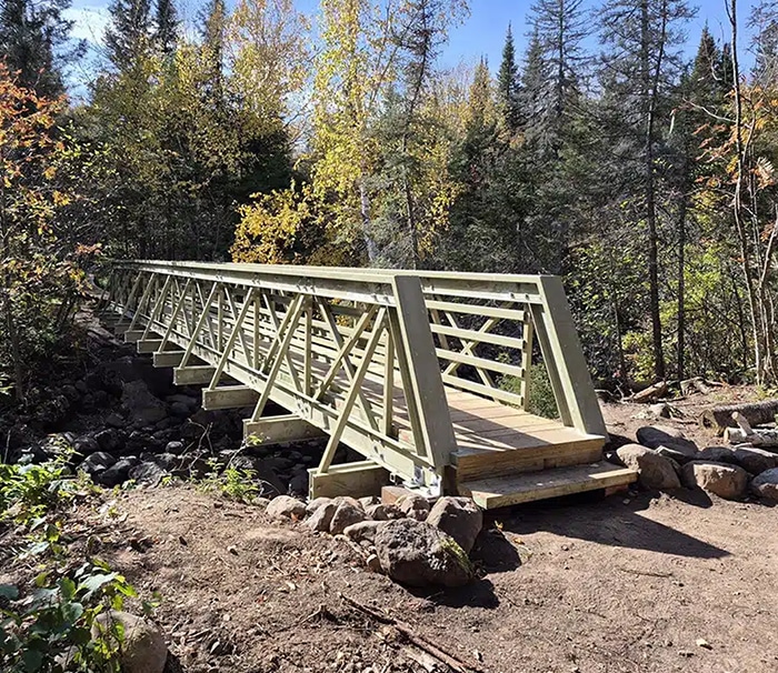
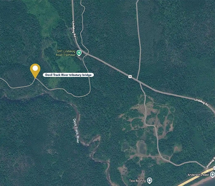
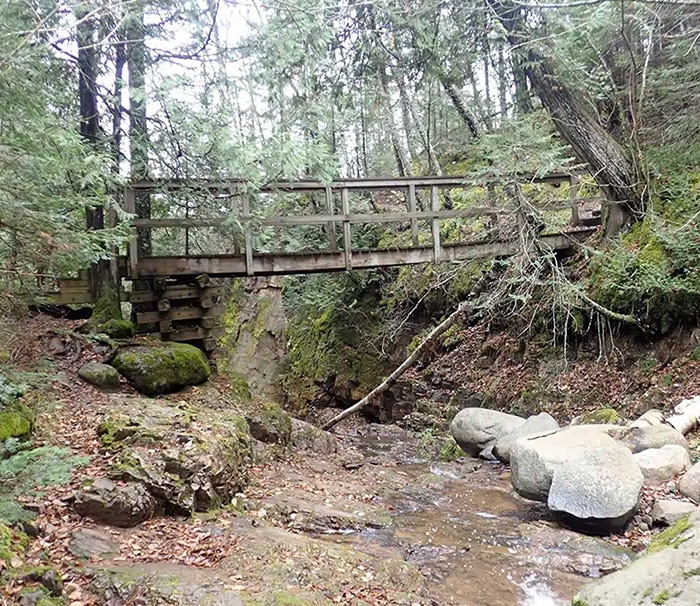
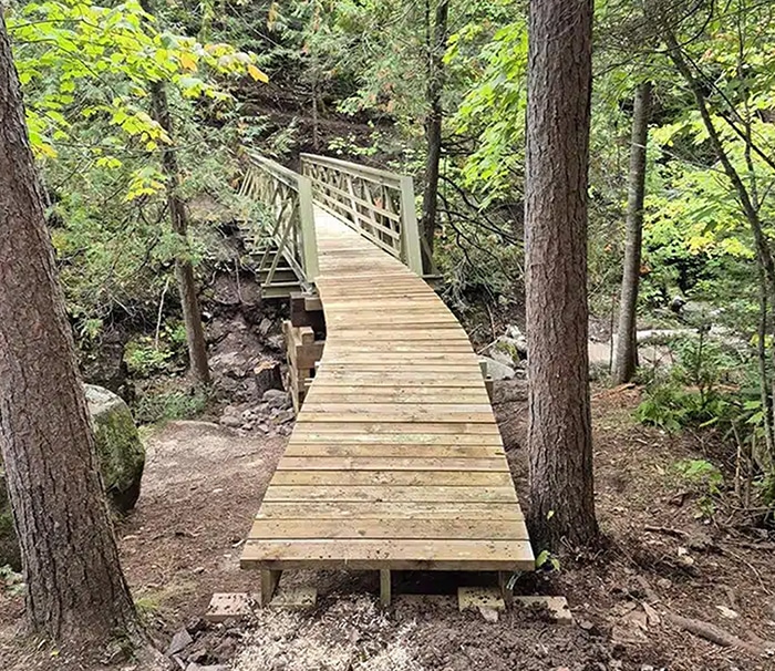
Volunteers also replaced the bridge over the Devil Track River tributary. That bridge is located along the Superior Hiking Trail and is accessible from the Lindskog Road Trailhead. To accomplish this, 45 volunteers completed the work over 835 hours. Their work included site prep and bridge construction. Additionally, builders used fiberglass-reinforced polymer to construct the 37-foot bridge. The Forest Service said it was “grateful and excited” to complete the work.
A closer look at the trail
The Superior Hiking Trail is one of Minnesota’s most scenic long-distance trails. It spans 310 miles, beginning at its southern terminus on the Wisconsin border and ending at its northern terminus near the Canadian border. As a result, the trail cuts through a mixed landscape of boreal forests in the north and deciduous forests in the south.

The Boundary Waters, delivered weekly
Join thousands of readers receiving free wilderness news and weekly updates from the Northwoods.
Numerous waterfalls and rivers tumble through the woods, bisecting the trail. Knobby overlooks offer dramatic views of Lake Superior and inland forests along the way. The trail offers 96 backcountry campsites where overnight visitors can rest without reservations or fees. Because of this, visitors share these campsites with other campers.
Blue blazes lead trail users through eight state parks and large sections of the Superior National Forest (SNF). However, occasional spur trails, marked by white blazes, connect trail users to trailheads or towns. The trail is open to hikers, snowshoers, and trail runners, but motorized vehicles are not permitted. The Superior Hiking Trail Association manages and maintains it, working in partnership with federal, state, and private landowners to ensure the trail remains accessible to everyone.
Funding for the bridge projects came from a Secure Rural Schools grant awarded in 2025. The USFS generates revenue through Forest activities, including timber harvesting and special use permits. A portion of these funds, through grants, supports federal land projects like these.
More info:
- U.S. Forest Service-Superior National Forest social media post
- 2026 Trail Renewal Projects – Superior Hiking Trail Association
- Secure Rural Schools Program – USFS – Superior National Forest