fbpx

Photo Gallery: Superior National Forest Boundary Waters Historical Photos

boundary-waters-historical-photo-by-arthur-carhart-12

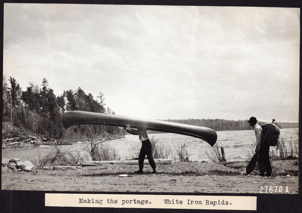
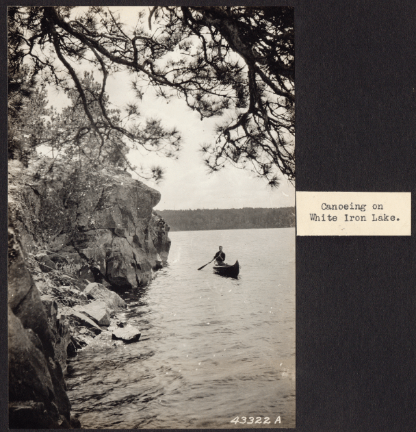
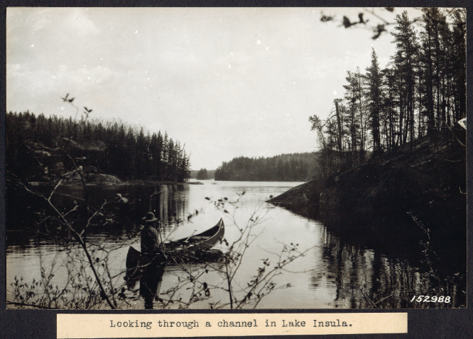
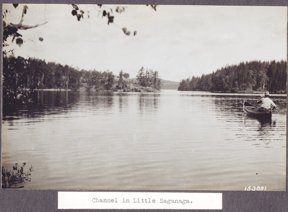
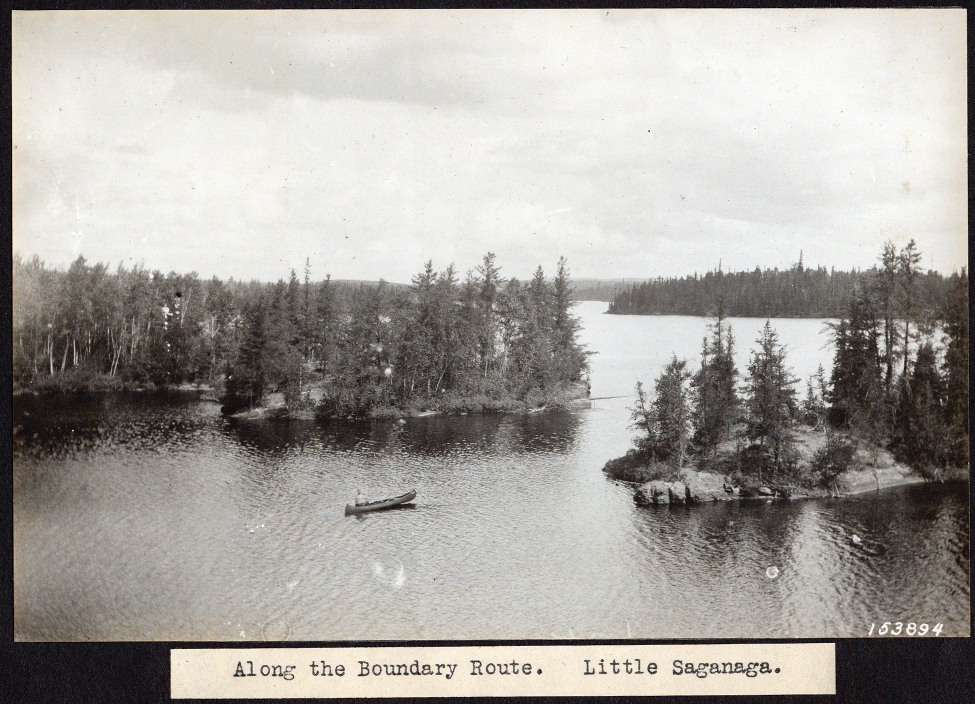
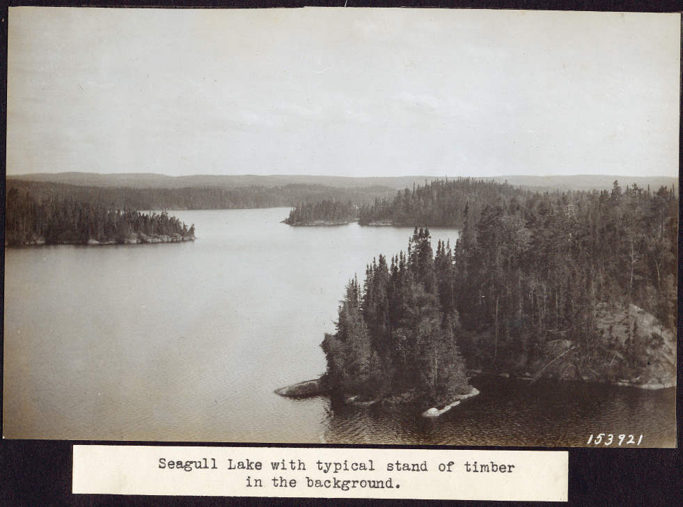
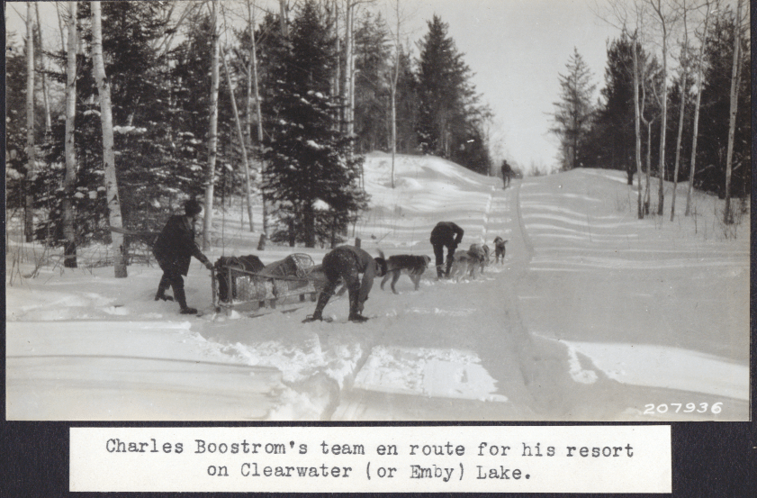
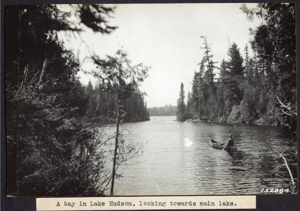
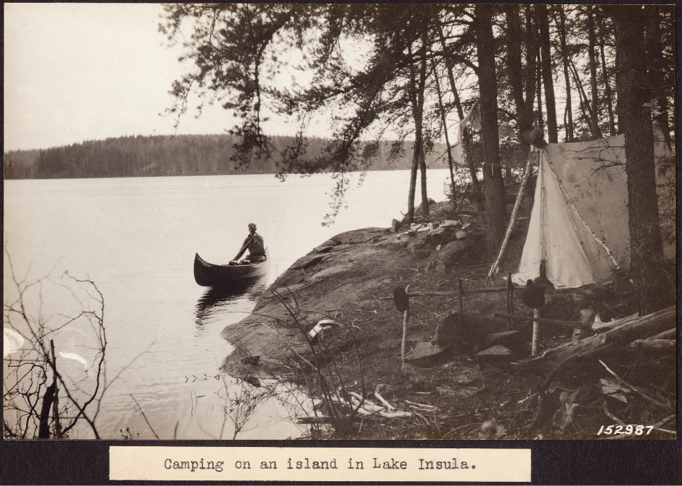
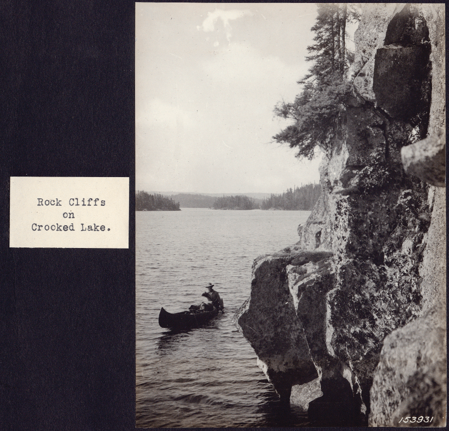
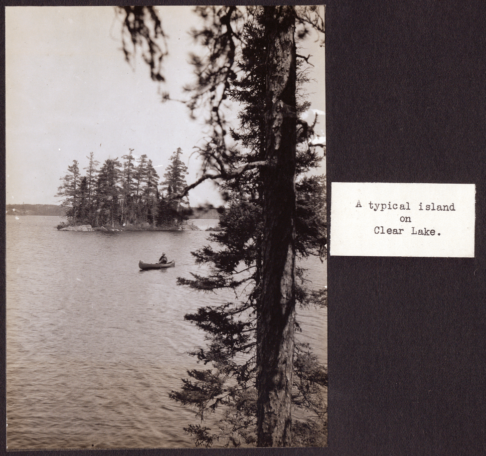
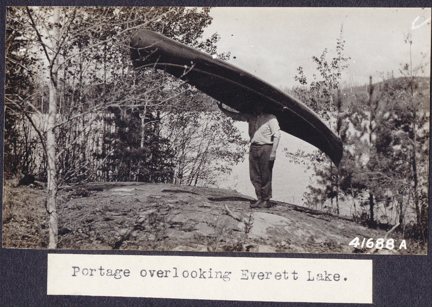
These photographs were found in a U.S. Forest Service photo album, circa 1920. At the time the region was known as the roadless area of the Superior National Forest. Each photo in the album was accompanied by a type-written note, which we have reprinted with each image. Our thanks to Barbara Wenstrom Shank and William P. Wenstrom for sharing these images.

boundary-waters-historical-photo-by-arthur-carhart-8

boundary-waters-historical-photo-by-arthur-carhart-1

boundary-waters-historical-photo-by-arthur-carhart-11

boundary-waters-historical-photo-by-arthur-carhart-7

boundary-waters-historical-photo-by-arthur-carhart-10

boundary-waters-historical-photo-by-arthur-carhart-9   boundary-waters-historical-photo-by-arthur-carhart-6

boundary-waters-historical-photo-by-arthur-carhart-5

boundary-waters-historical-photo-by-arthur-carhart-4

boundary-waters-historical-photo-by-arthur-carhart-3

boundary-waters-historical-photo-by-arthur-carhart-2

Find out more about Arthur Carhart, and the Forest Service historical photos

This article appeared in Wilderness Fall-Winter 2010


Get Quetico Superior Wilderness News straight to your inbox

Share via
Copy link
Powered by Social Snap