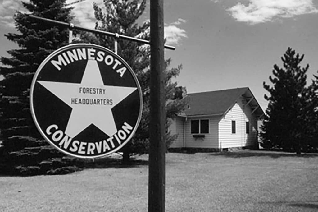
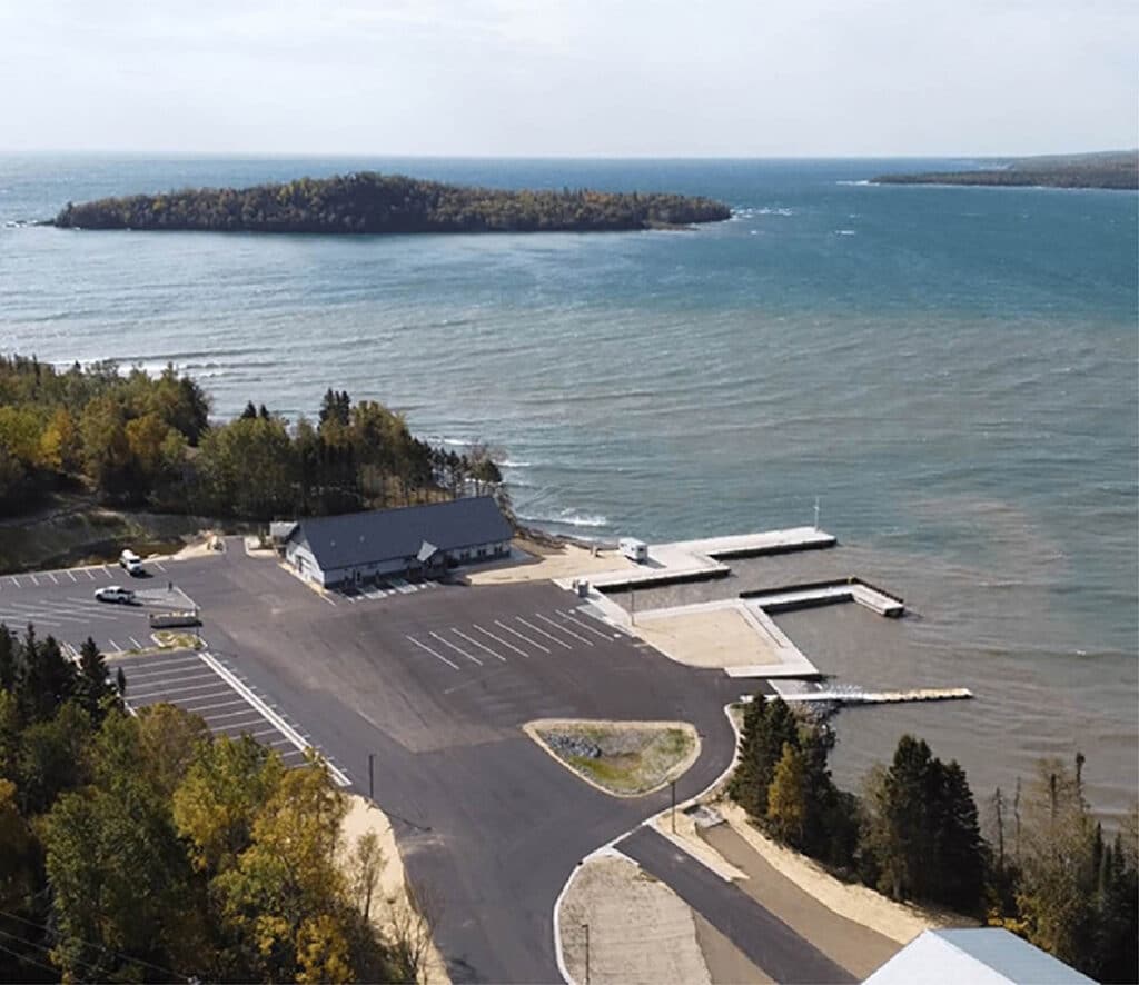
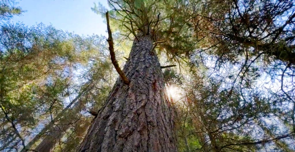
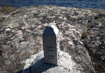
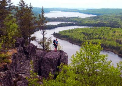
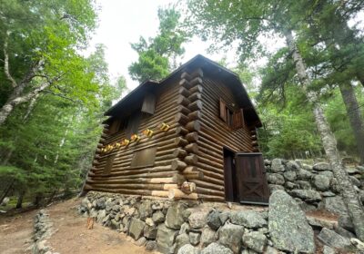
fbpx

Behind the mechanical portages of the BWCAW

The Boundary Waters Canoe Area Wilderness has approximately 1,500 portage trails across the landscape. Some of these trails use mechanized transport, including rails and trolleys, to help users move heavy gear and fishing boats between lakes. These mechanical workhorses have a long history, dating back to the days of logging and early resort development.

The Fond du Lac Band and DNR partner to restore elk on native land

A plan is in place to return elk to some of their native range as early as 2026. The Fond du Lac Band of Lake Superior Chippewa, in partnership with the Minnesota DNR, plans to move 100-150 elk from northwestern MN to the Tribe’s reservation and surrounding areas in Carlton and southern St. Louis counties.

Grand Portage Band builds new Isle Royale ferry terminal and cultural exhibit

The Grand Portage Band of Lake Superior Chippewa, along with various partners, has built a new ferry terminal and permanent exhibit for Isle Royale National Park. Each season, visitors begin their journey to Isle Royale at Hat Point Marina. The new site will permanently display cultural and traditional stories through immersive multimedia.

Interactive kiosks share stories of the North Shore

New kiosks are appearing in ranger stations, state parks, and local businesses along Minnesota’s North Shore, making it easier for visitors to connect with the region’s cultural, natural, and environmental history.

1964 Wilderness Act

60 years of the Wilderness Act and the BWCA

September 3 marks the anniversary of The Wilderness Act of 1964, a landmark piece of legislation in American conservation history, which established a national policy to protect wilderness areas for future generations. The act included protections for the Boundary Waters Canoe Area, which is not only the largest wilderness area east of the Rockies, but also the most widely used.

Old-growth white pine

Elder trees of the BWCA may not survive climate change

The oldest known tree in Minnesota grows in the Boundary Waters, estimated to be over 1,000 years old and informally known as the “Legacy Cedar.” Although past logging practices obliterated numerous trees, remnants of these ancient giants still linger in isolated pockets within the wilderness. Forest managers now consider their vulnerability to warming climate conditions.

How is the international border marked in the BWCA?

Along the northern edge of the Boundary Waters Canoe Area Wilderness (BWCA) lies an invisible line. The international border stretches over 150 miles of water trail, following the shorelines of Quetico Provincial Park to the north and the BWCA to the south. Careful observers may notice the subtle demarcation of the international boundary as they paddle by. Short metal reference markers are punched firmly into hard granite rock.